Map of Bismarck
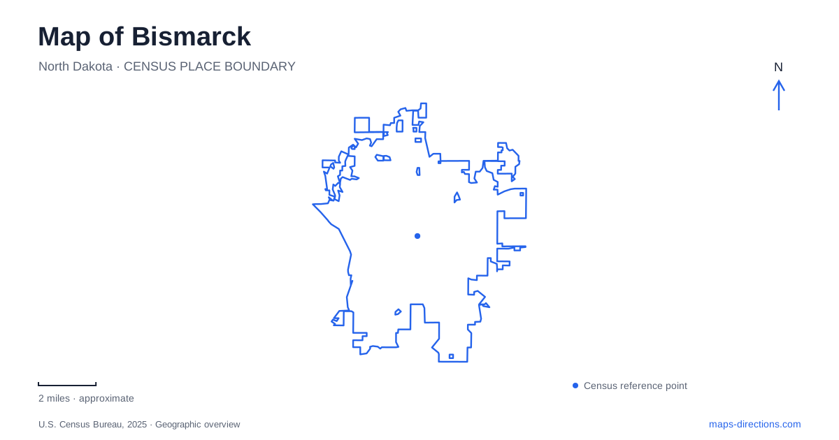
Street tiles load from OpenStreetMap when opened. The blue line shows the 2025 Census boundary.
- State
- North Dakota
- Population · July 2025
- 77,963
- Land area
- 36.0 sq mi
- Water area
- 0.5 sq mi
Bismarck can be read through three distinct settings: the state Capitol grounds, the older railroad-era city, and the Missouri River landscape. Each has its own landmarks and scale. The Capitol complex gathers government buildings and the state museum, Main Avenue holds a surviving nineteenth-century military site, and the riverfront connects parks, overlooks, and much older Indigenous places. Putting those settings together provides a more complete picture than beginning and ending with the Capitol tower.
Government buildings around the Capitol mall
The present North Dakota Capitol was completed in 1934 after fire destroyed its predecessor. Its restrained exterior reflects a Depression-era effort to keep construction within a strict budget, although the design retains Art Deco roots. The tower at 600 East Boulevard Avenue supplies an unmistakable visual reference, but the grounds are a campus of several institutions rather than one building and lawn.
The North Dakota Heritage Center and State Museum is at 612 East Boulevard Avenue on the same grounds. Its published driving approach uses I-94 Exit 159 and the entrance on the eastern side of the complex. The Capitol's public entrance is on the south, with visitor parking east of that entrance. These arrangements explain why two visits within the same complex may begin from different sides.
The Arboretum Trail adds a slower way to understand this part of Bismarck. It passes trees and shrubs west of the mall, continues by the Capitol on the north, and brings the eastern buildings into view. Species markers, statues, and memorials turn the walk into an introduction to both the designed landscape and the institutions around it. The museum, Liberty Memorial Building, and Department of Transportation building occupy identifiable positions around this shared open space.
Camp Hancock and the railroad-era city
At 101 East Main Avenue, Camp Hancock preserves part of an installation established in 1872 as Camp Greeley. Its original purpose was protecting crews building the Northern Pacific Railroad. Renamed the following year, the camp connects the early city directly to railway construction and the military presence that accompanied it.
The surviving headquarters began as a log structure, although later enlargement and clapboard siding changed its appearance. A visitor looking only for exposed logs could miss that older fabric. The site also contains the Bread of Life Church and a 1909 Northern Pacific locomotive. Together, these features make the grounds a concentrated introduction to early Bismarck, with different buildings and objects representing military, religious, and transportation history. Outdoor interpretation provides context even when interior access is limited.
Following the eastern riverbank
Steamboat Park at 1970 River Road occupies the Missouri's eastern bank. Its steamboat replica, interpretive signs, and Reflections eagle sculpture establish a clear riverside landmark. The paved Riverfront Trail places it within a larger sequence of parks rather than leaving it as a stand-alone roadside stop.
Farther along that system, Sertoma Park at 300 Riverside Park Road contains a 3.2-mile paved loop connected to the riverfront route. Its central area includes the Dakota Zoo and Super Slide Amusement Park, while other areas offer playgrounds, shelters, and sports facilities. The Bill Mills Nature Trail adds an unpaved interpretive walk at the northern end. This variety explains why the park's internal map and named facilities are useful when planning a particular activity.
The broader riverfront trail connects toward Mandan using Memorial Bridge or Expressway Bridge. Those crossings make the Missouri both a boundary and a link between communities. A riverside walk in Bismarck can therefore be understood as part of a regional trail network, even when the day's outing remains entirely on the eastern shore.
Village history above the water
Chief Looking's Village occupies the Pioneer Park overlook area at 2023 Burnt Boat Drive. The park district dates the Mandan settlement to approximately 1550–1600 and places it among the communities clustered near the Heart and Missouri river confluence. An interpretive trail and river overlook help connect the village site with that wider homeland.
Double Ditch lies farther north along Highway 1804, beyond the city's central park system. This Mandan earthlodge village was occupied for nearly three centuries, approximately 1490–1785. Its familiar name refers to visible defensive ditches, but archaeological work identified additional outer systems. The terrace and surviving ground features record changes in a community over time, requiring a different kind of observation from viewing a reconstructed building or museum display.
A former island to the south
General Sibley Park and Campground at 5001 South Washington Street adds another river story. The land was once nearly isolated by a Missouri channel and known as Assiniboine Island. Changes in the river's course ended that near-island condition, although evidence of the former channel remains along the park's northern edge.
Its paved interpretive trail, unpaved nature route, and connection to the South Washington Street trail make the park useful for seeing how recreation occupies an older river landscape. Alongside the Capitol, railroad site, and village overlooks, this former island helps explain Bismarck through both human decisions and the Missouri's changing geography.
Map and statistics: U.S. Census Bureau, 2025 Gazetteer, January 2025 generalized place boundaries and Vintage 2025 population estimates. Local references: North Dakota OMB; State Historical Society of North Dakota; Bismarck Parks and Recreation; North Dakota Tourism. Article prepared by Maps & Directions.