Map of Birmingham
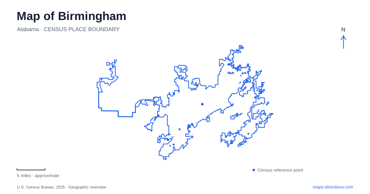
Street tiles load from OpenStreetMap when opened. The blue line shows the 2025 Census boundary.
- State
- Alabama
- Population · July 2025
- 195,893
- Land area
- 147.0 sq mi
- Water area
- 2.5 sq mi
Birmingham is easier to understand when its map is read as a relationship between a mineral-rich valley, railroad corridors and a mountain ridge. Industrial development explains the city's original location, while the civil rights district reveals how people challenged the social order built within that growing urban landscape. Downtown parks and preserved industrial structures now provide different ways to encounter that history. These places belong to a connected city, but they reward attention at several scales: the ridge, the rail corridor, the city block and the individual building.
Jones Valley and the ingredients of iron
The city was founded in 1871 in Jones Valley, where iron ore, coal and limestone were available within the surrounding region. Red Mountain forms the valley's southeastern boundary and carried extensive iron-ore seams. Coal lay to the north and west, while limestone and related materials occurred within the valley. That arrangement gave railroads a specific economic purpose: linking raw materials, furnaces and distant markets.
Sloss Furnaces preserves this industrial geography at the eastern edge of downtown. Production began in 1882, and the plant stood where two important railroads met. It made pig iron, even though the later company name included the word steel. The distinction helps explain the furnaces' place within a broader manufacturing system rather than treating every ironworks as a finished-steel factory.
The surviving site also represents labor history. Its workforce was segregated, and furnace work was dangerous. Reading the enormous equipment only as an engineering achievement would miss the conditions under which the material was produced. Preservation allows those social and mechanical histories to be considered together.
A metal figure above the valley
Vulcan Park and Museum puts Birmingham's industrial identity on the skyline. Giuseppe Moretti's iron statue was created for the 1904 St. Louis World's Fair, using locally produced pig iron. It did not begin on Red Mountain: after returning from the fair, the figure spent years at the state fairgrounds before the project to place it on the ridge.
The mountain setting was dedicated in 1939. Its elevated position turned an exhibition object into a geographic landmark, connecting the valley's industry with the ridge that supplied iron ore. A major restoration later returned the statue to its pedestal in 2003, and the park and museum opened in 2004.
Seen in that sequence, the site tells two stories at once. The figure celebrates industrial ambition, while its repeated relocation and restoration reveal how the city has chosen to represent that past. A map that shows both Vulcan and Sloss allows the symbolic monument and the actual production landscape to be understood together.
Streets where civil rights history unfolded
The civil rights district of Birmingham is particularly suited to close reading on foot. Kelly Ingram Park lies between Sixteenth and Seventeenth Streets and Fifth and Sixth Avenues North. In May 1963, police attacked demonstrators, including children, in the streets around the park. Present-day sculptures and interpretation occupy a setting where nationally consequential events happened within ordinary city blocks.
Sixteenth Street Baptist Church stands beside this landscape. The September 1963 bombing killed four girls and injured others, making the church both an active religious place and a site of remembrance. Nearby, the Civil Rights Institute provides historical interpretation, while the Fourth Avenue business district records the commercial life African Americans built under segregation.
These places have different roles in the same history: a gathering ground, a church, an educational institution and a business district. Their proximity is essential to the story. It explains how community institutions supported collective action and why the surrounding streets became such visible stages for confrontation.
A motel used as a strategy center
The A.G. Gaston Motel adds another layer to a map of Birmingham. Opened in 1954, it offered high-quality accommodations to Black travelers excluded from many other establishments. During the 1963 campaign, movement leaders held strategy meetings in Room 30 and addressed the press in the courtyard.
The property consequently connects travel history, Black entrepreneurship and political organizing. Its ordinary lodging function made extraordinary activity possible. Access also requires a precise distinction: the 1954 wing and its historic room are separate from the coffee shop and exhibit space in the 1968 wing. Confirm arrangements for the particular wing before planning an interior stop; access to one part of the property does not establish access to the other.
Open space beside the railroad corridor
Railroad Park supplies a contemporary counterpart to these preserved places. Its nineteen acres run along First Avenue South between Fourteenth and Eighteenth Streets. The long frontage makes the rail corridor visible within a public recreation setting, rather than hiding the infrastructure that helped shape the city.
For a Birmingham visit, the park can serve as a pause between more concentrated museum and historic-site experiences. Its geography also sharpens the address system: First Avenue South and the numbered North avenues of the civil rights district describe different positions around downtown. Keeping those directional suffixes in view makes the city's linked industrial and civic landscapes much easier to follow.
Map and statistics: U.S. Census Bureau, 2025 Gazetteer, January 2025 generalized place boundaries and Vintage 2025 population estimates. Local references: Sloss Furnaces; Vulcan Park and Museum; National Park Service; Railroad Park Foundation. Article prepared by Maps & Directions.