Map of Binghamton
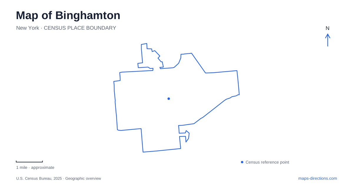
Street tiles load from OpenStreetMap when opened. The blue line shows the 2025 Census boundary.
- State
- New York
- Population · July 2025
- 46,418
- Land area
- 10.5 sq mi
- Water area
- 0.6 sq mi
Binghamton is shaped by the meeting of the Chenango and Susquehanna rivers. That confluence provides a stronger starting point for understanding the city than a list of attractions scattered across a map. Riverfront routes lead away from the meeting point, parks occupy different neighborhood settings, and destinations carrying the city's name sometimes lie in neighboring communities. The result is a compact-looking regional map with several distinctions that matter when choosing where to go.
Begin with the meeting of the rivers
Confluence Park marks the place where the Chenango meets the Susquehanna. Locating both river names is useful because an instruction to follow the riverfront is incomplete here. There are two waterways, and their meeting creates more than one direction in which a waterfront outing can continue.
The local tourism office describes the River Trail as a paved connection between Confluence Park and Cheri Lindsey Park, about a mile and a half long. That supplies a specific urban walking or cycling corridor. It is a different proposition from driving between widely separated parks, even though both activities may appear under an outdoors search.
Tracing the trail on the map lets the confluence serve as a starting reference rather than an isolated sightseeing marker. It also makes the river system visible as an organizing feature of the city: a route beside the water follows a landscape relationship that a simple attraction list cannot show.
West Side and South Side are different park outings
Recreation Park belongs to the West Side, while Ross Park occupies a South Side setting near the city's edge. These neighborhood identities help distinguish two destinations whose names often appear together because of their historic carousels. They are not separate entrances to one large park or interchangeable labels for a single recreation complex.
The municipal carousel information gives 103 Laurel Avenue for the Recreation Park carousel and 60 Morgan Road for the Ross Park carousel. Those street references make the distinction concrete. One can then build an outing around the broader park rather than assuming a carousel search result describes every facility at the destination.
At Recreation Park, the reflective pond, bandshell, recreation facilities, and Rod Serling memorial reference give the grounds several points of interest. Ross Park combines a different group of attractions, including the zoo and the Discovery Center. A map of Binghamton becomes more useful when those clusters are kept intact instead of mixing all their facilities into a citywide list without locations.
The carousel connection is regional history
George F. Johnson donated six carousels to local parks between 1919 and 1934. Their shared history explains why regional visitor information often presents them as a collection. The city identifies the Ross Park installation with 1920 and the Recreation Park installation with 1925, preserving a distinction between the individual machines as well as their settings.
A historic carousel marker indicates where an attraction belongs; it does not establish that rides are operating on a particular visit. Restoration and maintenance can affect these old machines independently. For an outing focused specifically on a ride, the individual carousel's operating notice matters more than a general description of the regional collection. The surrounding park may still offer a different reason to visit.
North along the Chenango
Otsiningo County Park lies on the west bank of the Chenango River, north of the city boundary, along the Interstate 81 and Front Street corridor. It is part of the area's recreation landscape while belonging to a different jurisdiction from the city parks. That distinction explains why it appears prominently in regional recommendations without being another downtown park.
Its mix of paths, wooded areas, athletic spaces, and riverfront land provides a broader park setting beyond the central confluence. On a map of Binghamton and its surroundings, following the Chenango north makes the relationship clear. The river connects the geographic story even as the administrative boundary changes.
The university name covers several places
Binghamton University is another reason to read the destination beyond its familiar name. The university lists its Vestal campus at 4400 Vestal Parkway East, in Vestal, and the University Downtown Center at 67 Washington Street. It also identifies health sciences facilities in Johnson City, including addresses on H. Stenger Place.
These are separate campus locations rather than buildings that can all be found by entering one central university address. An appointment notice, department name, or event location should determine which part of the regional map is relevant. The Downtown Center belongs to an urban setting; the Vestal campus and Johnson City facilities require their own destination choices.
This same distinction between a regional name and a specific place runs through the parks, carousels, and university locations. A useful map of Binghamton holds the two rivers at its center, then identifies the neighborhood or neighboring municipality of each destination. That approach reveals a connected region without erasing the differences that make an actual journey work.
Map and statistics: U.S. Census Bureau, 2025 Gazetteer, January 2025 generalized place boundaries and Vintage 2025 population estimates. Local references: Visit Binghamton; City of Binghamton; Binghamton University. Article prepared by Maps & Directions.