Map of Billings
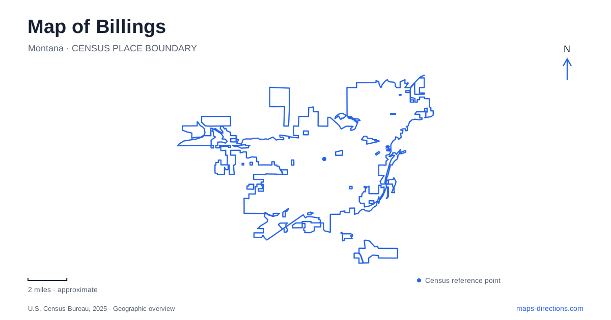
Street tiles load from OpenStreetMap when opened. The blue line shows the 2025 Census boundary.
- State
- Montana
- Population · July 2025
- 121,239
- Land area
- 46.3 sq mi
- Water area
- 0.1 sq mi
Billings has a strong vertical contrast: the Rimrocks provide elevated views, while the Yellowstone River defines a lower landscape of water and riverfront recreation. Between them, downtown streets and western commercial districts tell different stories of urban growth. A useful map shows these settings together without treating them as one continuous park or shopping area. Montana Avenue, Highway 3, and the approaches to the river each provide a different kind of orientation, allowing a visit to move between historic streets, rim-top trails, and water landscapes deliberately.
Montana Avenue preserves the railroad city's beginnings
Montana Avenue developed with the arrival of the railroad in the 1880s. The official tourism organization describes its early concentration of hotels, offices, and shops serving the growing town. That history helps explain why this particular downtown corridor contains a collection of substantial older buildings rather than simply another line of retail addresses.
The Billings Depot and the former library building now occupied by the Western Heritage Center are two concrete landmarks along this historic avenue. They give a downtown map useful anchors with different functions: one recalls the railway setting, while the other interprets regional history within a reused civic building. Their relationship to Montana Avenue is more informative than placing both under a broad museum or attraction category.
For a downtown walk, begin with the avenue and identify the actual buildings to be visited. This creates a street-based route through the historic district. It also separates the older commercial core from shopping destinations farther west, where the pattern of development and the distance between individual destinations differ.
The Rimrocks are a landscape edge, not a street shortcut
Zimmerman Park sits along Highway 3 and offers trails on the Rimrocks. Swords Park, associated with Black Otter Trail, provides another elevated recreation setting and includes the Yellowstone Kelly Interpretive Site. The tourism organization identifies the Skyline Trail as a multi-use connection between the two parks.
These features make the northern landscape of Billings more legible. The two parks are distinct destinations along the rim, and Skyline supplies a named connection between them. A map can therefore support either a visit centered on one park or a longer outing along the connecting trail. Those are different plans, even when they share the same panoramic city views.
The rim-top perspective is especially useful for understanding the city below, but a view does not establish a direct route to whatever landmark appears beneath it. Use Highway 3 and the named park approaches to locate the outing, then use the trail network for movement within the elevated landscape. The distinction between road approach and rim trail is fundamental to reading this part of the map.
The Yellowstone Kelly site adds a historical focus at Swords, while Zimmerman offers another starting point for exploring the rim. Keeping the site, parks, and connecting trail separately labeled makes the landscape easier to interpret than searching only for a scenic overlook.
The riverfront has its own approach
Riverfront Park is reached at 7332 South Billings Boulevard. The parks department lists natural areas, paved jogging routes, picnic sites, and shelters there, while the tourism organization places it along the Yellowstone River. This is a different setting from the exposed elevated parks: the trip is organized around the river landscape rather than the skyline above the city.
The boulevard address provides a practical reference when comparing a riverfront stop with downtown or the rim parks. It prevents a broad search for the Yellowstone from becoming a substitute for the particular public park being visited. The river extends far beyond the city's recreation destinations, so the named park is the useful scale for planning a local outing.
Shiloh's ponds explain a changing western landscape
Shiloh Conservation Area has a function that is not obvious from its park-like appearance. The public works department describes it as a stormwater treatment and flood-control facility serving the west end. It lies where Shiloh Drain meets Hogan's Slough, combining an older agricultural drainage feature with a natural waterway.
Its ponds and wetland cells form a treatment sequence, with an urban fishery in a pond at the end. That arrangement makes the site more than an ornamental water feature beside development. It is part of the system handling runoff as agricultural land gives way to residential and commercial uses.
This water-management landscape provides a useful contrast with both Montana Avenue and the Rimrocks. One reveals railroad-era growth, another the city's dramatic landform, and Shiloh the infrastructure supporting newer development. Reading Billings through these three subjects, then adding the Yellowstone riverfront, produces a map with explanations behind its labels rather than just a list of places to stop.
Map and statistics: U.S. Census Bureau, 2025 Gazetteer, January 2025 generalized place boundaries and Vintage 2025 population estimates. Local references: Visit Billings; Billings Parks and Recreation; Billings Public Works. Article prepared by Maps & Directions.