Map of Beverly
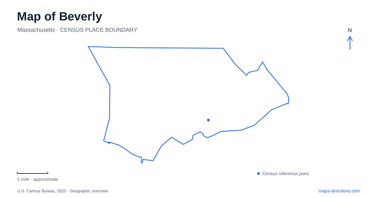
Street tiles load from OpenStreetMap when opened. The blue line shows the 2025 Census boundary.
- State
- Massachusetts
- Population · July 2025
- 43,363
- Land area
- 15.1 sq mi
- Water area
- 7.5 sq mi
Beverly has a geography that extends beyond its downtown waterfront. Cabot Street links historic properties with different origins, Hale Street leads into another part of the coastal landscape, and inland gardens offer a contrast to beaches and harbor views. The railway also branches into separate directions. Reading these features together helps explain a city shaped by maritime commerce, early settlement, summer estates, and regional travel.
Cabot Street holds more than one historical period
The John Cabot House at 117 Cabot Street represents the wealth of a merchant and privateering family. Built in 1781, the brick house later accommodated the local bank when it opened in 1802. Its domestic rooms and institutional history connect the street with both maritime trade and the financial systems that followed it.
Farther along the same street, the Balch House at number 448 interprets an earlier settlement story. John Balch was among the recipients of the 1635 Thousand Acre Grant. The property's history belongs to landholding and colonial settlement rather than the later merchant world represented by the Cabot mansion.
For a historical map of Beverly, that difference matters. Two museum properties on one named street do not necessarily describe the same generation or social setting. Their separate addresses provide a way to compare how the community changed over time, from early settlement to a more prosperous commercial town.
Hale Farm connects land, religion, and the coast
Hale Farm stands at 39 Hale Street. Its house was built in 1694 for the Reverend John Hale, the first minister of the local parish. Hale's involvement in the 1692 witch trials, and his later written reconsideration of those events, give the property significance beyond its architecture.
The managing historical organization describes the farm's land as originally extending to the water. This is a useful reminder that today's museum parcel does not necessarily show the full extent of an earlier holding. A house now encountered along a developed street once belonged to a broader landscape connecting domestic life, farming, and the shore.
The three historic-house locations therefore offer complementary perspectives. Cabot Street's merchant house, the earlier Balch property, and Hale Farm illuminate different forms of authority, work, and household life. They should be read as separate chapters distributed across actual streets, not as an undifferentiated “old town” attraction.
Lynch Park retains an estate-shaped waterfront
At 55 Ober Street, Lynch Park gives Beverly a public coastal landscape with two beaches, a rose garden, a performance shell, and open recreation space. Those features create several different settings within one park: a cultivated garden, gathering areas, and direct encounters with the shore.
The city's coastal-resiliency account places the surviving carriage house above Woodbury Cove and explains the estate's eventual conversion to public use. David S. Lynch's bequest enabled the purchase and maintenance of the property as a park. The present public landscape consequently reflects both an earlier private estate and a later civic decision to preserve shoreline access.
That origin helps explain why formal garden elements and a carriage house appear beside everyday recreation facilities. The park was not laid out on vacant land solely to accommodate modern sports. Its inherited structures and coastal position continue to shape what visitors experience.
Long Hill is a garden landscape inland
Long Hill provides a contrasting destination in Beverly at 576 Essex Street. The Sedgwick family used the property as a summer home, and Mabel Cabot Sedgwick and Marjorie Russell Sedgwick both contributed to its distinctive gardens. The Trustees of Reservations now manages the property.
The cultivated grounds are arranged as a sequence of garden rooms that blend into woodland. A main loop trail extends the visit beyond those intensively tended spaces, while an orchard and other garden areas add further variety. The hillside setting is central to the experience: this is neither a beach park nor simply a formal garden isolated from surrounding woods.
On a map, the transition between garden and woodland is worth noticing. The property combines designed planting with a larger trail landscape, so the house marker represents only one part of the visit. Its Essex Street location also distinguishes this inland outing from the Ober Street waterfront.
Rail branches explain the wider city
The municipal comprehensive plan identifies the downtown depot as the point associated with the division between the Newburyport and Rockport branches. North Beverly lies on the former, while Montserrat and the coastal stations lie on the latter. These names describe different directions through the city rather than a single sequence of interchangeable stops.
That branching pattern adds an important transport layer to the historic houses and parks. A destination near Cabot Street, an inland garden, and a coastal neighborhood can require different approaches even when they share the same municipal name. Following the relevant street and rail corridor gives each part of the city a clear place within the larger North Shore landscape.
Map and statistics: U.S. Census Bureau, 2025 Gazetteer, January 2025 generalized place boundaries and Vintage 2025 population estimates. Local references: Historic Beverly; Beverly Recreation Department; City of Beverly; The Trustees of Reservations. Article prepared by Maps & Directions.