Map of Bethlehem
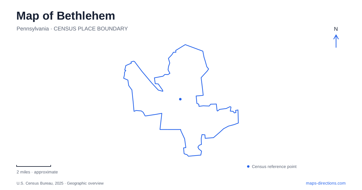
Street tiles load from OpenStreetMap when opened. The blue line shows the 2025 Census boundary.
- State
- Pennsylvania
- Population · July 2025
- 79,644
- Land area
- 19.1 sq mi
- Water area
- 0.3 sq mi
Bethlehem's geography is shaped by the meeting of Monocacy Creek and the Lehigh River. These waterways help explain three parts of the city: the early Moravian settlement north of the river and east of the creek, the western neighborhoods beyond the creek, and the industrial Southside across the Lehigh. The city's preservation plan traces these areas to communities that developed separately before joining together. A map reveals their connections while preserving the differences in their street patterns, buildings, and landscapes.
Moravian streets above the creek
Main and Church streets provide useful reference lines for exploring the older settlement. The Old Chapel at 64 West Church Street dates to 1751, while God's Acre cemetery occupies the hilltop setting at 13 West Market Street. These places belong to a landscape in which religious life, communal institutions, and everyday work were closely connected.
Down beside Monocacy Creek, the Colonial Industrial Quarter at 145 Ohio Road presents another side of early Bethlehem. Mills and workshops depended on the creek, and the quarter became a concentration of crafts and trades. The surviving Waterworks building makes the difference in elevation especially tangible: its system once raised water 94 feet to a collection tower on the site now occupied by Central Moravian Church.
That relationship between creek and hill is more revealing than a simple list of old buildings. A walk through the area passes between the working landscape below and the institutional streets above. The watercourse supplied power, while the waterworks solved the problem of moving a supply uphill. On a map, the short horizontal distance conceals an important vertical dimension of the settlement.
Following Monocacy upstream
Monocacy Way extends the creek's role beyond the compact historic center. The city describes the trail as connecting the center-city creek corridor with the Monocacy Recreation Complex on Illick's Mill Road. This makes the stream a thread running through several kinds of public landscape rather than merely a backdrop to the industrial quarter.
Burnside Plantation adds an agricultural chapter along the same creek. At 1461 Schoenersville Road, the 6.5-acre property includes a farmhouse, bank barns, a kitchen garden, an orchard, and farm outbuildings. Its working horse-power wheel is an unusual surviving piece of agricultural equipment. The collection of buildings and cultivated spaces offers a different scale of history from the downtown institutional blocks.
Burnside's setting also shows how a map of Bethlehem can connect urban and rural histories within one city. The creek links the former farm landscape with areas where water supported manufacturing and settlement. Following it conceptually upstream helps organize these destinations without reducing them to isolated museum addresses.
The Lehigh corridor and the Southside
Sand Island provides access to the D&L Trail. The section toward Allentown follows the old canal towpath with the Lehigh Canal on one side and the river on the other. This narrow strip has its own linear geography, quite different from the adjoining street network. The waterway and towpath explain why a route can continue along the valley even where ordinary streets take a different course.
Across the river, the former steelworks introduced an industrial landscape on a much larger scale than the Moravian workshops. The preserved blast furnaces and Hoover-Mason Trestle lie east of the Philip J. Fahy Memorial Bridge and north of Fourth Street. SteelStacks reuses this setting for arts and cultural activity, with the furnaces remaining prominent physical reminders of the site's original purpose.
The Southside also contains a separate greenway through its neighborhood fabric. The city's trail description identifies arts displays, play areas, and the Skateplaza along this route. Together, the river towpath, industrial site, and neighborhood greenway show three different ways to experience Bethlehem on foot: along a historic transportation corridor, among massive surviving industrial structures, and through everyday urban blocks.
Lehigh's campuses across South Mountain
Lehigh University adds another major topographic feature to the map. Its Asa Packer campus contains the historic academic core, many classrooms and residences, and the admissions office in Alumni Memorial. Above it, Mountaintop occupies the summit area of South Mountain, with Iacocca Hall and research facilities reached from Research Drive and nearby campus roads.
The Murray H. Goodman campus lies beyond the mountain in Saucon Valley. Its athletic complex includes the football stadium, Stabler Arena, and Rauch Fieldhouse. These are three substantial campus areas with different relationships to the city, so a university visit can involve either the Southside streets, a climb toward the summit, or travel to the valley beyond.
The river, creek, and mountain together provide the strongest organizing framework for Bethlehem. They connect the story of Moravian water power, canal transportation, steel production, and university growth to places that remain legible on the ground. Looking at those landforms alongside the named streets makes the city's varied districts much easier to understand.
Map and statistics: U.S. Census Bureau, 2025 Gazetteer, January 2025 generalized place boundaries and Vintage 2025 population estimates. Local references: City of Bethlehem; Historic Bethlehem Museums and Sites; Delaware and Lehigh National Heritage Corridor; Library of Congress / Historic American Engineering Record; Bethlehem Redevelopment Authority; Lehigh University. Article prepared by Maps & Directions.