Map of Berwyn
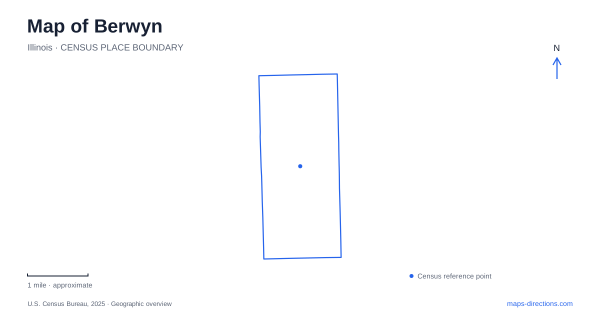
Street tiles load from OpenStreetMap when opened. The blue line shows the 2025 Census boundary.
- State
- Illinois
- Population · July 2025
- 55,001
- Land area
- 3.9 sq mi
- Water area
- 0.0 sq mi
Berwyn is best understood as a set of corridors with different histories. The railway helped establish the southern settlements, Ogden Avenue carries the legacy of Route 66, and Cermak and Roosevelt roads organize separate commercial areas. Between those lines lie residential blocks and neighborhood parks. Although the street grid looks regular at first glance, each corridor attracts a different kind of trip. A useful map keeps the Depot District, the major shopping roads, and public recreation destinations distinct while showing how the intervening avenues connect them.
Railway settlements in the south
The southern area began as several communities, including LaVergne and Upsala, also called Swedetown. Thomas Baldwin's LaVergne development dates to the 1850s, and the later railroad connection helped make the area accessible from Chicago. The municipal history places the LaVergne station at Ridgeland and Windsor avenues. Swedish settlement along 31st Street supplied another local center with its own institutions and businesses.
A subsequent development around Oak Park Avenue gained its own station after the developers built one themselves. These separate beginnings explain why the southern rail corridor has several established points of activity. It was not simply a single downtown spreading outward from one station. When comparing historic maps, names such as LaVergne describe earlier communities whose geography remains embedded in the modern city even after municipal consolidation.
The Depot District today
The Depot District is the rail-oriented commercial center of Berwyn. The BNSF commuter line serves the area through three local stops, giving visitors several possible arrival points. Its shops, restaurants, public art, and medical services occupy the surrounding street network rather than a single enclosed shopping property. Windsor and Stanley avenue addresses help locate individual businesses within that broader district.
MacNeal Hospital is an important landmark here. The local visitor organization traces its beginnings to a house at 33rd Street and Oak Park Avenue in 1919, followed by expansion into a much larger medical center. Its presence means the district accommodates everyday appointments as well as dining and evening visits. A hospital trip and a restaurant stop may share the same neighborhood, but each has a different destination within those blocks. The rail line supplies orientation; the individual street address completes the local picture.
Ogden, Cermak, and Roosevelt
Ogden Avenue is the historic Route 66 corridor through Berwyn. Its diagonal route contrasts with much of the surrounding grid and recalls the older Old Plank Road connection to Chicago. For a road-history visit, Ogden is therefore the relevant line to follow rather than the commuter railway. The two transportation systems shaped nearby places in different periods and for different modes of travel.
Cermak Road, also known as 22nd Street, provides another commercial axis. Cermak Plaza occupies the southeast corner of Cermak and Harlem Avenue. Older photographs may show the Spindle sculpture, the famous stack of cars, but that artwork is no longer there. Roosevelt Road adds a northern entertainment corridor with a history extending back to the Ritz Theater in the 1920s. These three roads should be read as separate destinations, each with its own relationship to the residential grid.
Proksa Park within the neighborhood blocks
Proksa Park gives a map of Berwyn a different kind of anchor at 3001 South Wisconsin Avenue. Its ponds, creek, picnic groves, courts, and activity center provide a recreation landscape within the developed neighborhood. The water features and planted spaces distinguish it from the linear commercial corridors. Someone exploring the city on foot encounters a place to pause rather than another row of storefronts.
The park district's history explains that this was originally Community Park and later received its present name in 1958, honoring longtime superintendent Joseph Proksa. The park has continued to change. Its paths, picnic facilities and playground should be read as distinct destinations within the grounds. Improvement drawings explain proposed layouts; the park district's facility information is the better reference for selecting an entrance and identifying usable recreation spaces.
Choosing a corridor before a route
The shape of Berwyn makes a corridor-based approach particularly useful. A Route 66 outing belongs on Ogden, a rail arrival begins in the Depot District, and a shopping or music visit may instead lead to Cermak or Roosevelt. Proksa Park offers a neighborhood destination away from those commercial strips. The connecting avenues bring these places together without erasing their different purposes.
This arrangement also gives the city a readable history. Early railway settlements explain the southern centers; automobile travel helps explain Ogden's identity; later commercial activity fills other major roads; and public parks provide shared space among the residential blocks. Looking at those relationships turns the grid into a record of local development and makes it easier to choose a sensible sequence of stops.
Map and statistics: U.S. Census Bureau, 2025 Gazetteer, January 2025 generalized place boundaries and Vintage 2025 population estimates. Local references: City of Berwyn; Why Berwyn; Berwyn Development Corporation; Berwyn Park District. Article prepared by Maps & Directions.