Map of Berkeley
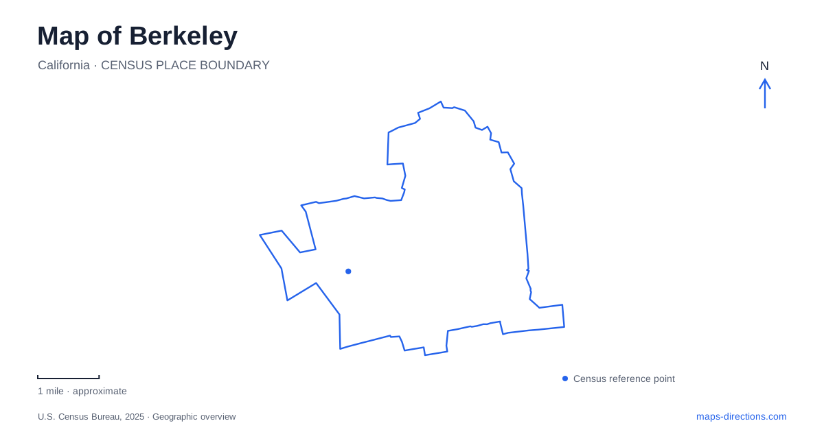
Street tiles load from OpenStreetMap when opened. The blue line shows the 2025 Census boundary.
- State
- California
- Population · July 2025
- 121,911
- Land area
- 10.4 sq mi
- Water area
- 7.2 sq mi
Berkeley is easier to read when the university, commercial streets, and bayfront are kept in the same map view. University Avenue provides an east-west reference between the waterfront and the campus approach, while Shattuck, Telegraph, and Solano identify different shopping and neighborhood settings. The waterfront is a separate recreation landscape with parks and boating facilities. None of these places alone represents the whole city, and a useful itinerary preserves the differences instead of collecting every destination under a general campus label.
Campus edges explain the nearby streets
The central campus map uses Oxford and Fulton streets, Hearst Avenue, Gayley Road, and Bancroft Way as its surrounding road references. Those edges help place an academic building in relation to the city outside it. A destination near one side of the campus can have a very different approach from a building reached from another side, even though both share the same institutional identity.
The university also distinguishes the Campus Park from the adjacent Hill Campus, Clark Kerr Campus, and other properties around the city. That is an important map distinction for visitors with an exact building to find. The broad university name is not a substitute for the building and the particular campus setting attached to it.
Telegraph Avenue forms another recognizable reference beside the university. Municipal commercial district material identifies it as a shopping corridor bordering the campus, with its own businesses and street activity. A visit combining an academic destination and Telegraph can be organized around their actual street relationship. It should not assume that every university facility lies within the same compact shopping area.
Three rail stations belong to different street settings
Downtown Berkeley station sits on Shattuck Avenue between Allston Way and Addison Street. BART identifies it as close to the university and downtown shops and theaters. The station's street location is more useful than a general rail symbol because it establishes where a transit trip joins the urban street network.
North Berkeley station is at 1750 Sacramento Street and provides access to the Ohlone Greenway. Its name should not be confused with North Shattuck, which is a separately identified commercial district. Both use a northern geographic label, but one is a rail station on Sacramento and the other is a shopping corridor organized around Shattuck. Comparing their actual street positions resolves that naming ambiguity.
Ashby station occupies the Ashby Avenue and Adeline Street setting in the southern part of the city. Together, the three stations offer different starting points for local trips. The right comparison is between a destination's address and the streets around each station, rather than assuming that any stop carrying the city name serves the same neighborhood equally well.
For travel around Berkeley, this street-based approach also helps when combining rail with a walk or a connecting bus. A station name supplies the regional connection; the surrounding streets supply the final local geography. Keeping those two scales visible makes a route easier to interpret before departure.
University Avenue and Solano describe different corridors
Municipal district material describes University Avenue as the east-west route from the bay toward the university. Around its crossing with San Pablo Avenue, the International Marketplace forms a distinct commercial concentration. This means the avenue is not simply a road to pass through: different portions have their own destinations and character.
Solano Avenue presents another useful distinction. Its shopping corridor continues through the neighboring city of Albany. A business described as being on Solano therefore needs its complete address rather than an assumption that the entire corridor lies within one municipality. The continuous street and the city boundary answer different questions, and both can matter when searching for a particular shop or restaurant.
The bayfront is more than the marina
At the Berkeley waterfront, the city identifies boating facilities alongside open land at César Chavez Park and walking and cycling opportunities on the Bay Trail. The marina is one part of this larger setting. A person seeking a park walk and someone heading to a boat berth may enter the same waterfront area while needing quite different final destinations.
Shorebird Park uses 160 University Avenue and offers picnic lawns, a shoreline beach, and bay views. César Chavez Park occupies the northern portion of the marina area. These references help separate two recreation settings that can otherwise merge into one broad waterfront search result.
University Avenue ties this western landscape back to the city's urban corridors, but the outing changes character as it reaches the bay. A map that retains the campus edges, individual rail stops, commercial streets, and named waterfront parks shows those changes clearly. It allows a day to connect several different parts of the city without flattening their identities into one university visit or one marina stop.
Map and statistics: U.S. Census Bureau, 2025 Gazetteer, January 2025 generalized place boundaries and Vintage 2025 population estimates. Local references: University of California Berkeley; City of Berkeley; BART. Article prepared by Maps & Directions.