Map of Bentonville
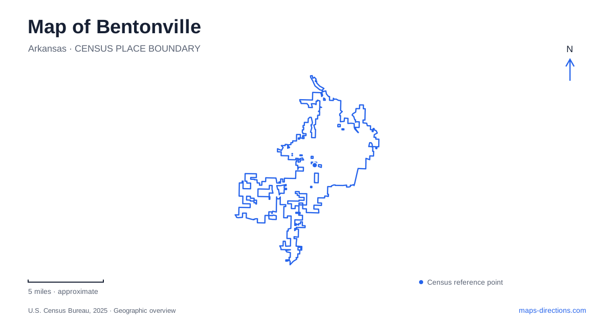
Street tiles load from OpenStreetMap when opened. The blue line shows the 2025 Census boundary.
- State
- Arkansas
- Population · July 2025
- 63,057
- Land area
- 35.5 sq mi
- Water area
- 0.2 sq mi
Bentonville has a map-reading challenge that is unusual for a small urban center: its cultural destinations and extensive trail network overlap without sharing the same entrances. The downtown square, museum grounds, mountain-bike routes and paved pathways can appear to form one continuous visitor area. They are connected in useful ways, but a line suitable for a walk or bicycle ride does not necessarily provide a driving approach. Begin by deciding whether the next stop is a street address, a museum entrance or a named trailhead, and use the corresponding map layer.
Main Street supplies a downtown reference
The city's Downtown Trail description places a paved linear connection along Main Street and identifies sidewalks linking the Town Square with Compton Gardens. That makes Main Street a useful organizing line for the center. The public library address, 405 South Main Street, provides a concrete reference when locating the southern part of this downtown connection.
Within central Bentonville, a trail name can therefore refer to a route integrated with ordinary sidewalks rather than a remote recreation area. Keep that distinction in mind when arranging a meeting. A library entrance, a particular square corner and a garden entrance are clearer destinations than simply saying to meet on the trail. The compact appearance of the center does not remove the need to choose which side of a building or open space you mean.
Crystal Bridges has separate road and trail approaches
Crystal Bridges Museum of American Art publishes 600 Museum Way as its address. Its visitor information describes public campus parking on Museum Way off J Street, along with parking closer to the museum and a designated drop-off area. These instructions explain why a route to the art trail and a route to the museum's vehicle entrance can end at different places.
For a Bentonville museum visit, save the museum's intended arrival point before browsing nearby paths. Someone traveling by bicycle through the grounds may be interested in trail connections, while a driver needs the signed road approach. Neither is adequately described by dropping a pin on the center of the museum complex. If members of a group arrive by different modes, agree on an entrance after each has completed the appropriate access route.
Slaughter Pen is a network, not one loop
The municipality identifies Slaughter Pen as a mountain-bike system with routes for different ability levels and technical features. Its published location on North Walton Boulevard is a starting reference, not a guarantee that every trail section begins at that same point. The tourism office also distinguishes singletrack from the paved Razorback Greenway that runs through this broader recreation setting.
Read the trail legend before tracing an attractive line between the center and the woods. A paved shared-use path, a technical riding segment and an access connector may be drawn close together but call for different equipment and decisions. Choose a named entry and an appropriate route rather than assuming the shortest line is the right one. The relationship between urban streets and woodland trails is precisely what makes this area interesting, and it is also what can make a small phone map ambiguous.
Osage Park creates a different destination cluster
Osage Park is listed by its operator, the Peel Compton Foundation, at 700 Southwest 16th Street. Its wetland setting includes paved trails and floating boardwalks, and the operator identifies a pavilion near the parking area. That establishes a separate kind of visit from mountain biking or gallery access: here the map needs to show the relationship between the public approach, gathering area and wetland routes.
An itinerary in Bentonville can include both the museum area and Osage Park, but they should remain separate saved destinations. Naming the park prevents a search for a general trail from sending you toward another network. The boardwalk's relationship to water also means it should be read as a specific recreational route, not an extension of the surrounding street grid. Match the intended activity with the park's own plan.
Connect destinations without losing their differences
A sensible overview marks the Town Square and library, the Museum Way approach, a selected Slaughter Pen entry and the Southwest 16th Street park address. This creates a framework with both urban and recreational anchors. Only after those anchors are clear is it useful to compare the roads or paths between them.
The map of Bentonville is most informative when each line retains its purpose. Main Street explains the downtown connection, Museum Way explains a vehicle arrival, the Greenway explains a regional shared-use route, and named mountain-bike trails explain a different recreational network. Preserve those distinctions as you zoom in, and the final entrance is much less likely to disappear beneath a broad destination label.
Map and statistics: U.S. Census Bureau, 2025 Gazetteer, January 2025 generalized place boundaries and Vintage 2025 population estimates. Local references: City of Bentonville; Crystal Bridges Museum of American Art; Visit Bentonville; Peel Compton Foundation. Article prepared by Maps & Directions.