Map of Benton
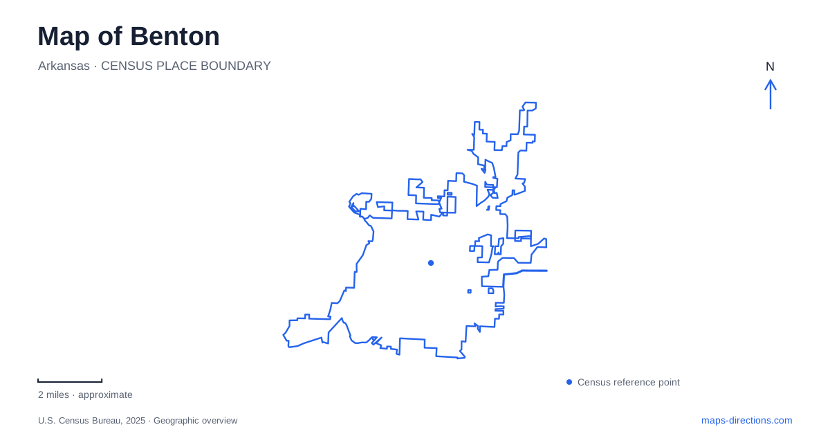
Street tiles load from OpenStreetMap when opened. The blue line shows the 2025 Census boundary.
- State
- Arkansas
- Population · July 2025
- 38,898
- Land area
- 23.5 sq mi
- Water area
- 0.5 sq mi
Benton has an unusually tangible connection between its local geology and its downtown buildings. A former doctor's office on South Market Street was constructed from bauxite, the aluminum ore associated with Saline County. Nearby commercial buildings tell different stories through concrete storefronts and a theater marquee. Beyond those compact blocks, the Saline River and neighborhood recreation grounds introduce another scale of map reading: individual access points, shared paths and water-dependent outings. This map is most useful when those places are treated as distinct destinations. The museum is a small historic property, the theater is an active performance venue, and a river access is not a continuous public frontage. Their names describe different kinds of space, even when they appear under the same city label.
Bauxite walls on South Market Street
The Gann Museum occupies the former medical office at 218 South Market Street. Built in 1893 for Dr. Dewell Gann Sr., it was constructed by patients who could not pay for their treatment. According to the Saline County Library's account, workers cut the relatively soft local material into blocks and left them to harden before construction.
That origin makes the building itself part of the collection. Its walls connect a medical practice to local labor and mineral resources; they are more than a container for exhibits. The adjacent Gann residence is a separate part of the setting, so a building footprint should not be mistaken for the full history of the household and practice.
In 1946, Dr. Gann Jr. gave the office to the city for library use; it subsequently became a museum. Pottery, medical objects and county history now provide several ways to interpret the small site. For a first look at Benton, the relationship between raw material, built form and public reuse is a particularly useful starting point.
Storefronts and a changing theater
At 101–107 South Market, the Walton Building offers a different construction lesson. The state's historic-district walking-tour research dates it to 1902 and identifies its ornamental, rock-faced concrete. Shops occupied the lower floor while doctors used space above. An early public library also operated upstairs during the 1930s. The same street therefore contains more than one chapter in the history of local library services.
The Royal Theatre stands at 111 South Market. Its operator traces the building to the early motion-picture era and describes a substantial enlargement in 1948–49. The illuminated marquee and vertical sign came from a theater in Little Rock. That reused signage adds a regional connection to what otherwise looks like a purely local landmark.
Community performance became central to the building's later life. After Jerry Van Dyke left at the end of 2000, the Central Arkansas Community Players received the building and adopted the Royal Players name. A youth division followed in 2002. Exterior painting, marquee refurbishment and interior improvements belong to different parts of theater maintenance. The appearance of the facade cannot establish the condition or visitor access of the backstage areas.
Read this part of Benton as a collection of reused buildings rather than an unchanged historical scene. Their current purposes are essential to understanding what a visitor will find behind the fronts.
The Saline River at Lyle Park
Lyle Park provides a specific public approach to the Saline River. The Arkansas Game and Fish Commission describes a city-operated access with a boat ramp, parking and picnic tables. Its Watchable Wildlife program installed interpretive signs there in 2023 following improvements to the site.
Those signs direct attention below the surface as well as along the banks. The agency identifies bass, creole darters and the small Ouachita madtom among the river's aquatic life. This makes the access relevant to natural-history observation, not solely to launching a boat.
For Benton river planning, distinguish the named access points from broader water-trail proposals. The agency's 2023 announcement documents the development of a larger route. It is useful historical evidence about the program, but it cannot establish water conditions or permission to use every section. A map line alone also says little about usable depth or a suitable downstream exit.
Recreation around a shared park
Tyndall Park's junior disc-golf course illustrates why recreation symbols need context. The Professional Disc Golf Association lists the course at 913 East Sevier Street, with eighteen holes and an establishment date of 2019. Its description notes shared walking paths, picnic areas, an amphitheater and ballfields, with a creek involved in the front nine.
A course icon therefore does not represent an isolated sports property. Walkers and other park users occupy the same broader grounds. The arrangement calls for attention to the actual tees and paths rather than treating any open lawn as part of a throwing corridor.
Together, these places give Benton a readable structure: mineral-built heritage and live performance on South Market, river ecology at a defined launch, and mixed neighborhood recreation at Tyndall. Matching each label to its physical setting reveals more than a list of attractions can convey.
Map and statistics: U.S. Census Bureau, 2025 Gazetteer, January 2025 generalized place boundaries and Vintage 2025 population estimates. Local references: Saline County Library; Arkansas Historic Preservation Program; Royal Players; Arkansas Game and Fish Commission; Professional Disc Golf Association. Article prepared by Maps & Directions.