Map of Bend
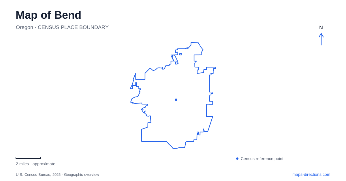
Street tiles load from OpenStreetMap when opened. The blue line shows the 2025 Census boundary.
- State
- Oregon
- Population · July 2025
- 107,342
- Land area
- 35.2 sq mi
- Water area
- 0.2 sq mi
Bend's geography is especially readable where water, industry, and volcanic landforms meet. Mirror Pond sits beside downtown, the Old Mill District recalls a working river landscape, and the whitewater park marks a former dam location. Farther west, Shevlin Park follows Tumalo Creek through a wooded canyon, while Pilot Butte rises as a separate landmark to the east. These places offer more than a list of outdoor attractions: together they explain how waterways and terrain shaped different parts of the city and continue to organize public movement through it.
Mirror Pond and the downtown river edge
Drake Park uses the address 777 Northwest Riverside Boulevard and provides nearly half a mile of riverfront beside downtown. Mirror Pond is part of the Deschutes River landscape rather than a separate lake disconnected from the river. The park district's historical timeline dates its formation to a power dam completed in 1909. That industrial origin is useful context for a waterfront now strongly associated with lawns, paths, and public gatherings.
The Deschutes River Trail passes through the park from the Galveston Avenue area and beneath Newport Avenue toward Pacific Park. A renovation completed in 2023 widened the connection and added boardwalk sections, habitat improvements, and better access to the riverbank. These named streets and the underpass give the map a clear sequence through the downtown shoreline. They also show that the path's relationship to bridges is part of its design, rather than requiring every crossing to occur at street level.
For Bend, this river edge is both a central public space and a link in a longer trail. Pacific Park functions as a trailhead at the northern end of this particular connection, while downtown streets branch away from the waterfront. The route can therefore be read as a continuous river corridor with several urban access points.
From timber industry to a mixed-use river district
The Old Mill District reflects another phase of the river's history. Its developer's account connects the site with the Brooks-Scanlon lumber operation and describes years of planning and environmental remediation before the modern district opened in 2001. Southwest Powerhouse Drive retains a name that makes sense within that industrial background. Today's commercial setting occupies land whose earlier purpose was tied to the timber economy.
The park district's historical material describes competing Shevlin-Hixon and Brooks-Scanlon mills on opposite banks of the Deschutes in the early twentieth century. Looking at both banks, rather than just one present-day shopping destination, helps explain the scale of that former industrial landscape. The river was a working axis around which large operations developed. Its current paths and destinations reuse that geography while serving very different activities.
Three channels at the former dam
The whitewater park at 166 Southwest Shevlin Hixon Drive divides the river into three purpose-built channels. One is a fish ladder also used by floaters, one contains whitewater features, and one protects habitat without public access. The project replaced the hazardous Colorado Avenue dam arrangement in 2014–2015 and improved fish passage through this reach.
This is a particularly important map distinction in Bend. A river map showing a single broad blue channel conceals different permitted uses and different water conditions within the same short reach. McKay Park provides a land-based reference beside the whitewater area. The park district advises people seeking a gentler float, including groups with children, to leave the river and walk to McKay Park for re-entry instead of assuming every channel is suitable for them.
A creek canyon and an eastern viewpoint
Shevlin Park, at 18920 Northwest Shevlin Park Road, follows Tumalo Creek rather than the main urban river. Its nearly 1,000 acres include forest, sage-covered land, canyon-rim paths, and footbridges. Aspen Hall and the fishing pond are on the east side of the road, while other trails extend along the creek. The six-mile loop and the shorter creek trail describe different ways through the same landscape, with connections reaching toward national forest routes.
Pilot Butte provides the opposite kind of orientation: an old cinder cone from which the wider high desert and Cascade skyline can be understood. East-side parking offers year-round trail access, while the summit road operates seasonally. Check the park's trail notices for the northern Base Trail near the middle school, separately from the seasonal summit-road arrangements. For Bend, these western creek paths and the eastern volcanic viewpoint complement the central river corridor. Together they reveal Bend as a place where public routes follow several distinct landforms rather than one interchangeable outdoor playground.
Map and statistics: U.S. Census Bureau, 2025 Gazetteer, January 2025 generalized place boundaries and Vintage 2025 population estimates. Local references: Bend Park and Recreation District; Old Mill District; Oregon State Parks. Article prepared by Maps & Directions.