Map of Bellingham
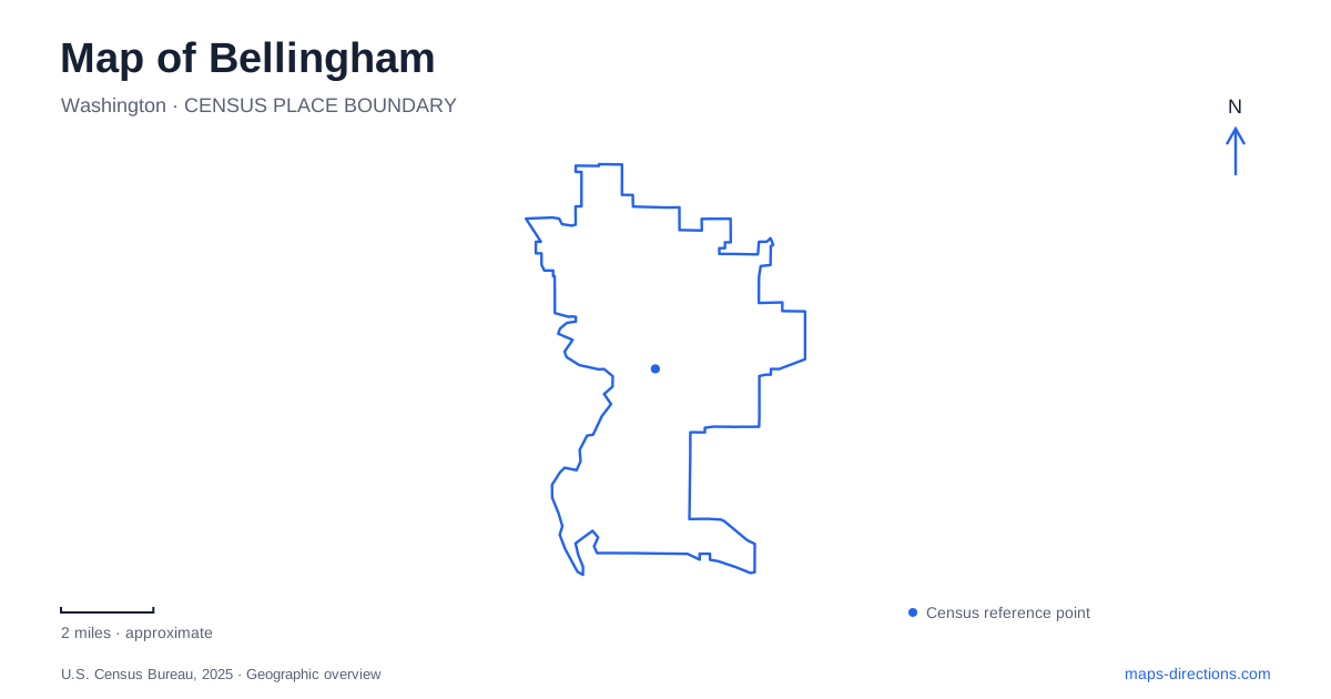
Street tiles load from OpenStreetMap when opened. The blue line shows the 2025 Census boundary.
- State
- Washington
- Population · July 2025
- 96,395
- Land area
- 28.2 sq mi
- Water area
- 2.3 sq mi
Bellingham's map makes the most sense when the bay, historic Fairhaven, university hillside, and inland creek parks are read as connected but distinct settings. The waterfront supports walking routes and regional transportation, while streets climbing away from it lead toward Western Washington University. Farther inland, Whatcom Creek passes through a wooded park with a landmark stone bridge. These changes in terrain and purpose give the city more structure than a single downtown destination can convey.
Fairhaven is both a neighborhood and an arrival point
Fairhaven Station stands at 401 Harris Avenue. The Port operates this transportation hub in a historic brick building renovated in 1994; the building formerly housed the Pacific American Fisheries corporate headquarters. Its reuse connects the area's maritime-industrial past with present-day passenger travel.
Amtrak service links the station with Seattle and Vancouver, British Columbia. Local buses connect Fairhaven with the downtown transportation center. The adjacent cruise terminal serves Alaska Marine Highway passengers, adding a water-based regional connection to the rail and bus facilities.
For arrivals in Bellingham, this means that a train or ferry journey begins or ends in the Fairhaven area rather than at the downtown commercial center. Harris Avenue is the useful local reference. The nearby historic district and the transport properties share a neighborhood setting, but a passenger meeting should still identify the station or terminal involved.
The South Bay Trail links two urban centers
The South Bay Trail connects Fairhaven Village Green with Boulevard Park and continues toward downtown. Taylor Dock and its restored trestle form an especially recognizable overwater section. Here, a walking route extends across the edge of the bay rather than remaining entirely on a conventional street sidewalk.
Boulevard Park occupies the South Hill shoreline along South State Street and Bay View Drive. Its facilities include a playground, picnic areas, viewpoints, and overwater boardwalks. Paddle Point Trestle and Taylor Dock are named elements within the wider waterfront experience, useful references when choosing a short section to explore.
This route gives Bellingham an important connection between places that might otherwise seem like separate excursions. A visit can concentrate on Fairhaven, pause at Boulevard Park, or continue along the shore toward the city center. The trail's value lies in that continuity, while the park provides reasons to stop rather than simply move through.
Western's buildings sit above the shore
Western Washington University's campus introduces a change in elevation and street pattern. University directions to the Performing Arts Center approach from Holly Street through North Garden Street, which climbs and becomes West Campus Way, followed by Highland Drive. That sequence helps explain how the campus relates to the downtown side of the hill.
The southern campus approach is different. Bill McDonald Parkway and South College Drive lead toward the C parking lots and the southern academic area. The campus map places Old Main, Red Square, the Performing Arts Center, and the recreation facilities in separate parts of the grounds. A performance, admissions visit, and athletic event may therefore call for different final approaches.
Another local naming distinction is Fairhaven College. It is part of Western, with its building at the south end of campus off South College Drive. It should not be confused with Fairhaven Station or the historic neighborhood simply because they share the name. This is a useful example of why institutional geography and neighborhood geography need to be read together.
Whatcom Falls reveals the creek landscape
Whatcom Falls Park offers a different setting within Bellingham, centered on Whatcom Creek rather than the bay. The city identifies the park with Electric Avenue, and its trail map shows the stone bridge, fish hatchery, Derby Pond, and connections toward Bloedel Donovan Park. Lakeway Drive and the Kenoyer approach provide another way to understand its position in the surrounding streets.
The landmark bridge was built in 1939 using Chuckanut sandstone arches salvaged from a burned downtown building. Works Progress Administration labor moved the stone and helped create the structure. Its history therefore links the wooded creek setting back to the city's built environment.
The park also carries the memory of the 1999 pipeline disaster, when spilled gasoline ignited along Hannah and Whatcom creeks and three young people died. Restoration of the damaged habitat became a long-term undertaking. Staying on established routes respects a landscape whose recovery is part of its history.
A map of Bellingham becomes more revealing when these relationships remain visible: Fairhaven handles regional arrivals, the South Bay Trail follows the shore, Western rises inland, and Whatcom Falls follows a separate creek corridor. Together they support several distinct outings without losing the connections between them.
Map and statistics: U.S. Census Bureau, 2025 Gazetteer, January 2025 generalized place boundaries and Vintage 2025 population estimates. Local references: Port of Bellingham; Bellingham Whatcom County Tourism; City of Bellingham; Western Washington University. Article prepared by Maps & Directions.