Map of Bellflower
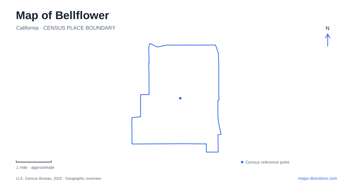
Street tiles load from OpenStreetMap when opened. The blue line shows the 2025 Census boundary.
- State
- California
- Population · July 2025
- 74,719
- Land area
- 6.1 sq mi
- Water area
- 0.1 sq mi
Bellflower, California, has a transportation story that is still visible in the shape of its downtown. A former Pacific Electric railway corridor cuts across the street grid, passing the restored depot before continuing toward Caruthers Park and the San Gabriel River. Alongside that inherited route, a fire-service museum, neighborhood recreation spaces, and a public library offer distinct reasons to visit. Following the old rail alignment provides a useful introduction, but the surrounding street names reveal how these places fit into daily community life.
The diagonal left by the Red Cars
The local bicycle and pedestrian trail follows the former Pacific Electric right-of-way. This was part of the interurban system remembered for its Red Cars. Its diagonal course differs from the surrounding streets because it preserves an older transport alignment rather than simply accompanying a modern arterial road.
The route heads northwest toward Somerset Boulevard beyond the Paramount city line and southeast toward the river connection at Caruthers Park. Near the southern end of Ripon Avenue, it joins the former rail corridor. The restored Pacific Electric depot marks the downtown portion; restoration returned the building to its earlier appearance in 2008. Reading the trail and depot together makes Bellflower's railway past visible as a continuous landscape rather than a single surviving building. Street crossings remain part of the route, so the former railway geography should not be confused with an uninterrupted crossing-free path.
Fire engines beside the downtown corridor
The Los Angeles County Fire Museum occupies the ground floor of the Mayne Events Center at 16400 Bellflower Boulevard. The collection includes firefighting apparatus from the nineteenth and twentieth centuries, as well as Engine 51 and Squad 51 vehicles associated with the television series Emergency! It combines the history of a public service with a recognizable part of television history.
The building's arrangement matters for a visit: the museum is downstairs, while an event facility occupies the upper floor. The museum identifies the municipal parking structure across the boulevard as a convenient option, with additional spaces behind the building reached from Oak Street. These details locate the collection within the downtown blocks and distinguish it from the organization's separate storage and restoration operations. Despite its name, the museum is an independent nonprofit rather than an agency of the county fire department.
Caruthers Park at the river edge
Ruth R. Caruthers Park is reached from Flora Vista Street, with a listed address of 10500. The San Gabriel River lies immediately east, and the Artesia Freeway lies south. Residential streets border the other sides, placing a substantial recreation area between neighborhood blocks and major transport and drainage corridors.
For outdoor activity in Bellflower, this setting creates several possibilities in one area. The park includes ballfields, courts, a playground, splash pad, skate facilities, walking space, and a community center. The bicycle trail connects with the regional river trail by a bridge, allowing a local ride to become part of a longer journey along the channel. The river connection is therefore a meaningful change of route and scale, not simply another park path.
The Carpenter House Museum is also recorded within the park grounds as a historic building. Its presence adds a local-history element to a place otherwise associated with sports and outdoor play. A park map that includes both the house and active facilities gives a fuller account of the grounds than a single recreation symbol.
Flower Street's public library
The Clifton M. Brakensiek Library stands at 9945 East Flower Street. It belongs to the county library system and offers public reading space alongside reservable meeting and study rooms. Its address deserves careful attention because Flower Street and Flora Vista Street are separate names serving different destinations; the library and Caruthers Park should not be grouped merely because the wording sounds similar.
The library gives a map of Bellflower an everyday civic reference point beyond downtown entertainment and the river corridor. It can serve as a destination for study, meetings, and community resources, while the museum and depot tell more specialized historical stories. Keeping those functions distinct helps explain why local trips are distributed across several streets rather than concentrated entirely at the old station.
Connecting the different landscapes
The strongest geographic thread is the way older infrastructure continues to shape current use. The former railway supports active travel, its depot remains a downtown landmark, and the river channel anchors a regional trail connection beside a neighborhood park. The fire museum preserves vehicles designed for movement and emergency response within a modern event building. Together with the library, these places present a community whose map can be read through public services, inherited transport routes, and recreation rather than through freeway access alone.
Map and statistics: U.S. Census Bureau, 2025 Gazetteer, January 2025 generalized place boundaries and Vintage 2025 population estimates. Local references: City of Bellflower / California CEQAnet; Los Angeles County Fire Museum; City of Bellflower; LA County Library. Article prepared by Maps & Directions.