Map of Bedford
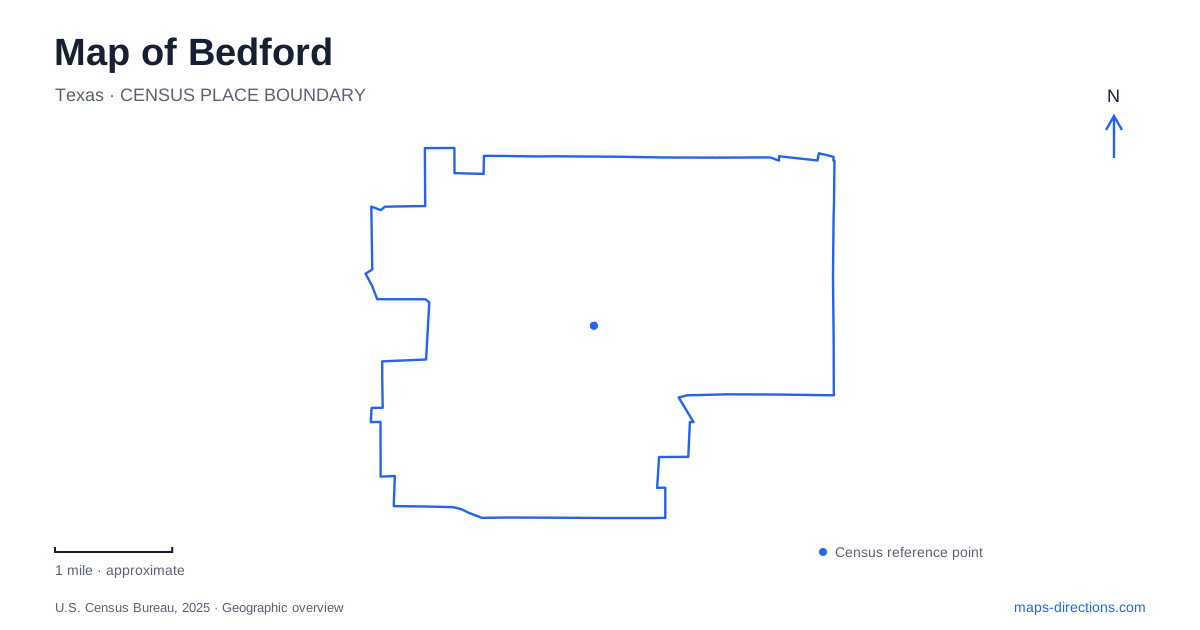
Street tiles load from OpenStreetMap when opened. The blue line shows the 2025 Census boundary.
- State
- Texas
- Population · July 2025
- 47,958
- Land area
- 10.0 sq mi
- Water area
- 0.0 sq mi
Bedford's map is divided by the State Highway 121/183 corridor, while local destinations cluster around streets such as Forest Ridge Drive and Central Drive. The freeway is a useful regional reference, but it is not a substitute for the final street address. A recreation-center visit, a ballgame and a historic-school event may all be local trips yet finish at different entrances or different properties. Identify the specific facility before deciding which part of the road network matters.
Read the freeway as a corridor, not an entrance
The city's community assessment describes State Highway 121/183 as its largest thoroughfare and a corridor that bisects the city. This helps explain why destinations that appear close on a broad map can require a more deliberate route. A line drawn directly between two map pins does not identify the available crossing, exit or access road. Follow the actual road connection in a route planner instead of estimating a journey from the visual separation alone.
The same assessment identifies Cheek-Sparger Road along much of the northern edge and Pipeline Road toward the southern edge, while noting that much of these boundary roads lies outside city limits. That is a useful reminder that an edge-of-city address and a road used to describe the city's setting are different geographic concepts. Check the destination itself when a mailing label, business name or road-side location leaves its municipal context unclear.
Forest Ridge Drive and the former Boys Ranch
Generations Park at Boys Ranch is at 2801 Forest Ridge Drive. The redevelopment retained the Boys Ranch name while introducing a new combination of facilities, so older references may emphasize a different part of the property's history. Use the current park name alongside the street address when saving directions. That makes it easier to reconcile an older local description with a newer map label.
Within Bedford, this is a substantial multi-purpose destination rather than one small playground. The city lists The Center, an outdoor aquatics facility, ballfields, event lawns, a lake and walking paths. Select the component that matches your visit. Someone attending a baseball game should keep the field or complex information, while a recreation-center appointment requires the building destination. Sharing only the overall address can still leave a group at different parts of the grounds.
A sculpture that explains changing map labels
The Maps of Memories sculpture stands between The Center and the lake. Its three mapped panels represent different periods in the property's history, from the original ranch through the earlier community park to the redevelopment. That makes it an unusually relevant landmark for interpreting why older site names or diagrams do not exactly match the present arrangement.
The artwork is also a specific internal meeting reference, provided everyone intends to reach that part of the grounds. It should not replace the park address for the driving portion. Think of the address as the arrival anchor and the sculpture as a second, smaller-scale destination. Keeping both avoids asking a road-navigation system to solve a pedestrian route through the park's interior.
School Lane is a separate historic stop
Old Bedford School is located at 2400 School Lane. The municipal history dates the original school building to 1914–1915 and describes subsequent restoration and reuse. Its grounds include a musical playground, picnic tables and a walking path. This is a separate destination from Generations Park, even though both appear in the city's parks information and both can host activities.
For a Bedford visit that includes the school, preserve the building name and School Lane address as a separate stop. A historical name does not establish that the building operates as an ordinary classroom campus today. Confirm the particular event or activity you intend to attend rather than assuming unrestricted access to the interior. The outdoor grounds and a scheduled building use answer different visitor needs.
Linear trails versus loops inside parks
The city's parks guide identifies linear trails following an Oncor easement in the northeast, with endpoints at Woodpark Lane and Forest Ridge Drive. This is a different recreational shape from a loop around the lake at Generations Park. An endpoint-to-endpoint path needs a return-plan decision; a park loop returns within the same site. Inspect the relevant trail map before combining either with a road journey.
A map of Bedford works best when these distinctions remain visible: the freeway for regional orientation, the local street for arrival, and the individual facility or trail for the activity itself. Retaining those layers lets you compare a school visit, a park event and a linear-trail outing without treating every recreation label as the same destination.
Map and statistics: U.S. Census Bureau, 2025 Gazetteer, January 2025 generalized place boundaries and Vintage 2025 population estimates. Local references: City of Bedford. Article prepared by Maps & Directions.