Map of Beaverton
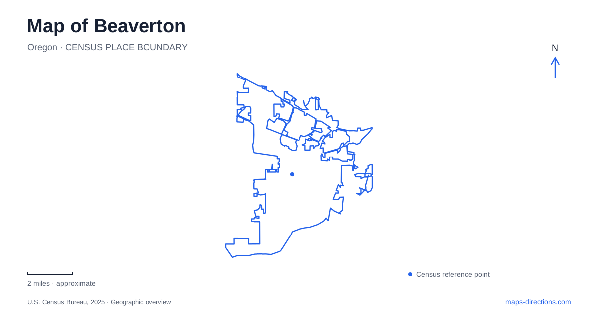
Street tiles load from OpenStreetMap when opened. The blue line shows the 2025 Census boundary.
- State
- Oregon
- Population · July 2025
- 97,842
- Land area
- 19.8 sq mi
- Water area
- 0.0 sq mi
Beaverton combines a regional transportation junction with a downtown spread across several streets and a collection of very different natural areas. Rail lines lead toward Portland, Hillsboro, and the communities to the south. Within the city, Canyon Road, Farmington Road, and the railway help explain why downtown has several activity centers instead of one uninterrupted main street. Beyond those urban crossings, creek confluences and wooded slopes supply another set of landmarks.
Start with the transportation junction
Beaverton Transit Center occupies 4050 SW Lombard Avenue, north of Canyon Road. MAX Blue and Red trains stop here, along with WES commuter trains and connecting buses. The Blue Line provides an east–west connection between Hillsboro and the Portland area, while the Red Line includes airport service. WES heads south through Tigard and Tualatin to Wilsonville.
WES has a different operating pattern from light rail: it runs during weekday morning and afternoon commuting periods, with no Saturday or Sunday service. That distinction can determine whether a rail-based outing to a southern community is practical. The transit center itself has no WES park-and-ride parking, so it should not be treated as a guaranteed place to leave a car simply because several rail services meet there.
The transit center's modernization history illustrates the distinction between the junction itself and the position of individual bus boarding areas. A rail connection, bus stop and pedestrian approach can share a station name while occupying different parts of the site. Use TriMet's stop information for the service you intend to board, particularly during maintenance or changes to the station layout.
Downtown has a northern arts address and a southern civic address
The Patricia Reser Center for the Arts opened in 2022 at 12625 SW Crescent Street. Its performances and gallery program give this part of downtown an arts destination. Farther south, the main library stands at SW Fifth Street and Hall Boulevard, across from City Park. These two addresses help establish the extent of downtown more clearly than a single central pin.
Hall Boulevard and Watson Avenue are important connecting streets between downtown activity areas. City planning documents identify Canyon Road, Farmington Road, and heavy rail as barriers that have historically divided the district. Their presence explains why a walking route through downtown involves deliberate crossings even where destinations look close together on a small map.
For a first visit to Beaverton, it is useful to choose whether the arts center, library, or transit interchange is the main destination and then work outward along the connecting streets. Each occupies a different part of the central area. The library's relationship with City Park creates a civic setting, while Crescent Street has a performance destination and Lombard Avenue carries the major rail-and-bus interchange.
Follow the creeks into a wildlife preserve
Tualatin Hills Nature Park surrounds the meeting of Cedar Mill Creek and Beaverton Creek. Forest, streams, and wetlands form a habitat mosaic within the urban area. The nature center and principal parking entrance are at 15655 SW Millikan Way, offering a clear starting point for exploring the preserve.
Trail surfaces vary. The district identifies paved sections on the Oak Trail and parts of the Vine Maple Trail, alongside a larger network of soft-surface paths. Its map also shows a walking connection to the Merlo Road MAX station. This makes the preserve relevant to both a local walking itinerary and a trip that begins on public transit.
Art appears within this natural setting, too. Fernanda D'Agostino's Ecology Stones, installed in 1998, consists of eleven basalt pieces distributed through the park. Their imagery includes small organisms and scientific references, encouraging attention to details that might otherwise disappear beneath the broader impression of a wooded landscape. Dogs are prohibited because the site is managed as a wildlife preserve.
Cooper Mountain opens toward the valley
Cooper Mountain Nature Park at 18892 SW Kemmer Road introduces a different outdoor setting near the city's edge. Its trails pass through conifer forest, prairie, and oak woodland, with views over the Tualatin Valley toward the Chehalem Mountains. Metro and the park district share responsibility for the site, which includes the Nature House and a nature play area.
This hillside landscape provides a useful contrast with the creek-side preserve. One outing emphasizes wetlands, shaded paths, and a stream confluence; the other includes more open habitats and a broad valley outlook. Neither needs to be squeezed into the same trip as a downtown performance. A map of Beaverton becomes more informative when these separate experiences remain visible: regional rail, a divided but connected downtown, lowland habitat, and the elevated landscape beyond the urban blocks.
Map and statistics: U.S. Census Bureau, 2025 Gazetteer, January 2025 generalized place boundaries and Vintage 2025 population estimates. Local references: TriMet; Patricia Reser Center for the Arts; Friends of Beaverton City Library; City of Beaverton; THPRD; Metro. Article prepared by Maps & Directions.