Map of Bayonne
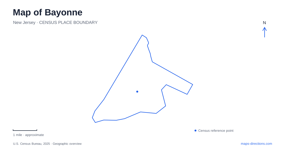
Street tiles load from OpenStreetMap when opened. The blue line shows the 2025 Census boundary.
- State
- New Jersey
- Population · July 2025
- 74,744
- Land area
- 5.8 sq mi
- Water area
- 5.4 sq mi
Bayonne occupies a peninsula where the waterfront, the long street grid and a few major transport connections explain much of the local geography. Jersey City lies to the north, Newark Bay is on the western side, and the Kill Van Kull separates the southern end from Staten Island. The eastern waterfront has its own port and redevelopment destinations. Those settings are close enough to appear together on an overview, but they require different arrival decisions. Identify the numbered street, the side of the peninsula and the intended entrance before treating a citywide marker as a finished route.
Read the numbered streets alongside the long avenues
The city's planning maps show a north–south street framework that includes Broadway, Avenue C and Kennedy Boulevard, with numbered streets providing useful cross references. A street number can narrow the search, but the avenue and the east-or-west part of the address still matter. A destination near one side of the peninsula should not be located simply by finding the same numbered street somewhere else across it.
This grid is particularly helpful when moving between a neighborhood destination and a transport stop. Keep the full intersection in the plan, rather than remembering only a station's number or a business's street. The longer north–south corridors connect many different parts of the city; being on Broadway, for example, does not by itself identify a compact arrival area. A map showing both the avenue and the cross street gives a much more precise position.
The southern bridge is a regional crossing
The Bayonne Bridge crosses the Kill Van Kull to Staten Island. Its role is different from a local street that continues through neighboring blocks: reaching it means making a regional crossing between New Jersey and New York. The waterway is also a major shipping passage, which helps explain why the bridge is a prominent structure rather than a small neighborhood connection.
For a trip toward Staten Island, identify the actual bridge approach and the onward destination. A place visible across the channel is not reached by extending the closest local street in a straight line. Equally, a destination near the southern waterfront may remain on the New Jersey side and have no reason to use the crossing. Keeping that distinction visible prevents a broad regional route from taking the place of a short local arrival plan.
Four light-rail stops serve different parts of the city
NJ TRANSIT's Hudson-Bergen Light Rail map shows the 8th Street, 22nd Street, 34th Street and 45th Street stations. Their numbered names fit the local street framework, but they are separate access points. The operator places 8th Street at Avenue C, while its 45th Street station information identifies Avenue E. Do not assume that every station entrance lies on one identical north–south street.
For a Bayonne journey by light rail, choose the station from the destination's actual position rather than from the nearest familiar number. The route continues into Jersey City and connects with a wider transit network, but the local walk remains a separate part of the trip. Read the street map around the selected stop, especially when a destination is across a major road or nearer the opposite waterfront. The line diagram explains the sequence of stations; it cannot show every final approach.
The cruise terminal has its own access corridor
Cape Liberty is on the Peninsula at Bayonne Harbor, on the eastern side of the city. Royal Caribbean lists the terminal at 4 Port Terminal Boulevard and gives an approach involving Route 440 and the terminal road. That makes the terminal a specific destination, not a synonym for the nearest waterfront label, light-rail platform or city-center intersection.
A cruise arrival should therefore retain the terminal address and the operator's current arrival instructions together. Reaching the surrounding district does not mean the passenger has reached the luggage drop-off, parking entrance or check-in location. The nearby 34th Street station and the terminal are also different points on the map. Do not interpret their geographic proximity as proof of a direct, suitable walking connection, particularly when planning a journey with luggage and a fixed boarding arrangement.
Newark Bay parks belong to the western shoreline
Stephen R. Gregg Park occupies the Newark Bay side of the peninsula, west of Kennedy Boulevard. The county's park map shows its relationship to the western shoreline and the adjoining street network. This is a different waterfront setting from Cape Liberty's eastern terminal approach. A general request for “the waterfront” can therefore send a visitor toward a completely different side of the city from the intended destination.
Choose the actual park entrance or meeting place before arriving. A shoreline promenade, a recreation area and an avenue-side approach serve different purposes even within the same park. For a day combining a park visit with a numbered-street appointment or a light-rail trip, the useful organizing question is which side of the peninsula each stop occupies. A map of Bayonne becomes much clearer when the western bay, southern channel crossing, neighborhood grid and eastern terminal corridor remain separate geographic references instead of one undifferentiated waterfront destination.
Map and statistics: U.S. Census Bureau, 2025 Gazetteer, January 2025 generalized place boundaries and Vintage 2025 population estimates. Local references: City of Bayonne; NJ TRANSIT; Port Authority of New York and New Jersey; Royal Caribbean; Hudson County. Article prepared by Maps & Directions.