Map of Battle Creek
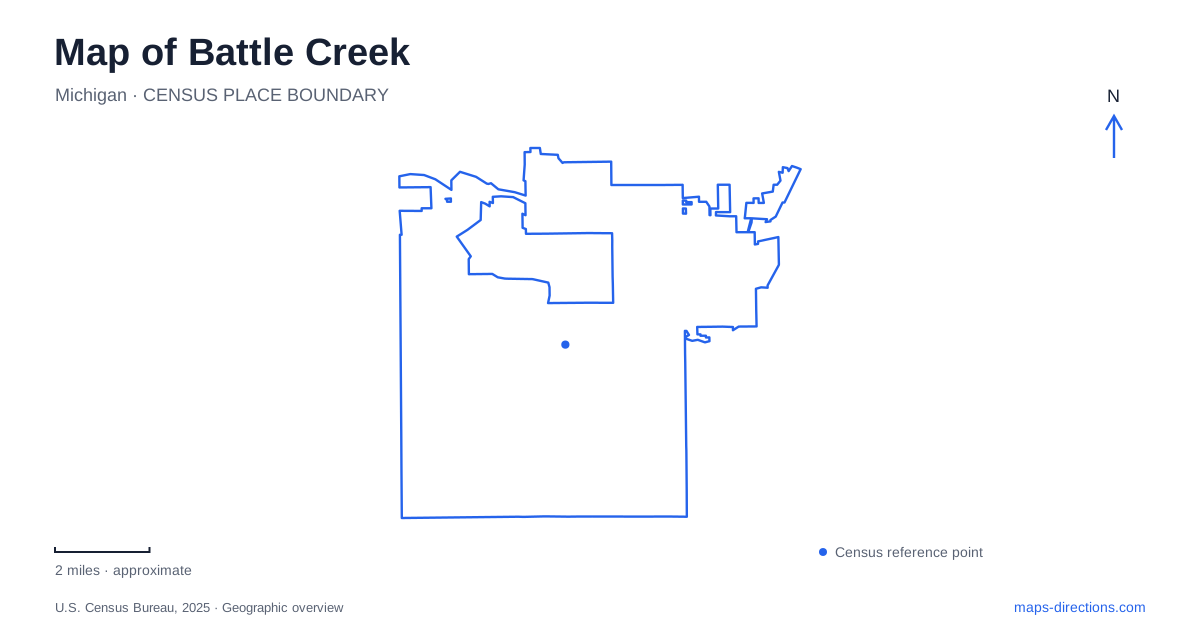
Street tiles load from OpenStreetMap when opened. The blue line shows the 2025 Census boundary.
- State
- Michigan
- Population · July 2025
- 52,021
- Land area
- 42.6 sq mi
- Water area
- 1.1 sq mi
Battle Creek grew around the meeting of its namesake waterway and the Kalamazoo River. That confluence remains a useful starting point for understanding the center, but the city extends into several distinct landscapes: riverside paths, historic residential streets, sports grounds, and the gardens along West Michigan Avenue. Looking at these places together reveals a community whose history includes manufacturing, religious reform, and abolition as well as its familiar cereal industry.
Two waterways and a network of paths
The city's official history identifies the river junction as the location that attracted land speculator Sands McCamly in 1831. Early mills depended on this setting before railroads connected local manufacturers to wider markets. On a modern map, the rivers still help explain the shape of the downtown area and the spaces through which recreational paths pass. Water is part of the city's structure, not merely a scenic detail at the edge of town.
Linear Park follows a network rather than occupying a single enclosed property. Its paved paths run through different urban settings, and the city identifies several named loops. The Fell and Spring Lake loops offer smaller geographical units to recognize alongside the larger East, West, and Perimeter circuits. Choosing a loop is a way of defining an outing within the broader system, especially when the map shows paths continuing well beyond the area someone intends to explore.
Friendship Park and the downtown river edge
Friendship Park sits at 10 State Street West, along Capital Avenue Southwest by the State Street parking area. Its amphitheater seating faces a performance deck on the river. The arrangement makes the water part of the public space: an audience looks toward a riverside stage instead of turning away from the bank. This is a useful downtown reference whether visiting for a performance or simply orienting a walk.
The city recommends the bridge near this park as one way to reach Linear Park. A map of Battle Creek therefore benefits from showing both streets and walking connections. The parking area, bridge, and riverside path form a small sequence that a road-only overview can obscure. Keeping those features visible makes the transition from an arrival by car to time on foot much easier to understand.
Sojourner Truth's geographical legacy
Monument Park, at Division Street and Michigan Avenue, contains Tina Allen's twelve-foot sculpture of Sojourner Truth. Dedicated in 1999, it depicts her speaking at a lectern. The pose emphasizes the public advocacy that defined her work against slavery and for women's rights. This is a central civic landmark, with a meaning that extends beyond its usefulness as a recognizable point on the street map.
Truth's burial place is Oak Hill Cemetery on the city's east side. The monument and the grave represent different parts of her local story and belong to different settings. Earlier, she lived in Harmonia, a community west of town in the area now associated with Fort Custer Industrial Park. These locations show why her relationship with Battle Creek cannot be represented by a single monument marker. Her home region changed, and the places that commemorate her now serve distinct purposes.
West Michigan Avenue and the arboretum
Leila Arboretum is at 928 West Michigan Avenue. Its gardens and open landscape provide a different scale of exploration from downtown's street corners. Among its most distinctive areas is Fantasy Forest, where sculptors transformed ash trunks into imaginative figures. The trees had been killed by emerald ash borer, and the carvings were created in 2015 and 2016.
That history makes the sculpture area an unusually direct meeting of ecology and public art. Dragons, castles, and other carved forms occupy material left by the loss of mature trees. Within the larger arboretum, Fantasy Forest is a specific destination to locate alongside the garden spaces, rather than a separate woodland outside the property. The street address brings a visitor to the grounds; the internal landscape determines what they explore next.
Historic buildings and recreation beyond the center
Historic Adventist Village preserves another strand of Battle Creek history. Its central features include the 1856 home of James and Ellen White, and the operator interprets the early development of the Seventh-day Adventist movement through guided visits. This is a heritage site with a tour program, distinct from the freely circulating path network.
Bailey Park, at 1392 Capital Avenue Northeast, combines ball grounds with river and Linear Park access. Seeing it alongside the village, arboretum, and downtown landmarks creates a fuller map of Battle Creek: several kinds of public destination connected by streets and waterways, each reflecting a different part of the community's development.
Map and statistics: U.S. Census Bureau, 2025 Gazetteer, January 2025 generalized place boundaries and Vintage 2025 population estimates. Local references: City of Battle Creek; Calhoun County Visitors Bureau; Leila Arboretum Society; Adventist Heritage Ministries. Article prepared by Maps & Directions.