Map of Bartlett
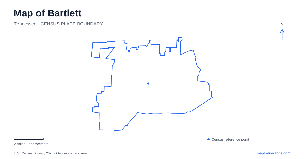
Street tiles load from OpenStreetMap when opened. The blue line shows the 2025 Census boundary.
- State
- Tennessee
- Population · July 2025
- 56,416
- Land area
- 32.6 sq mi
- Water area
- 0.0 sq mi
Bartlett's map combines an older town corridor, preserved historic properties, a large civic recreation campus, and greenway sections threaded through later neighborhoods. Stage Road provides a historic reference, but several important destinations lie away from that main artery. Court Street leads to Gotten House, Appling Road organizes a cluster of public facilities, and Davies Plantation Road serves a different landscape of residential streets and historic land. Reading these as separate areas gives a visit more shape than collecting all the local attractions under one downtown label.
Gotten House and the older community
Gotten House at 2969 Court Street gives Bartlett a tangible connection to its nineteenth-century town life. Nicholas Gotten built the house in 1871, using a saltbox form more commonly associated with New England. He was a Prussian immigrant whose occupations included blacksmith, merchant, and ginner. The building's modest domestic scale is part of its value: it preserves the setting of a working local household rather than a monumental public institution.
The property later served a municipal purpose as a police annex. After police operations moved out, preservation efforts saved the house from demolition, and the restored museum was dedicated in 1990. Its collection includes period furnishings, historical files, artifacts, and early photographs. These materials make the house a useful starting point for understanding the streets around it, particularly how everyday commerce and family life helped form the older community.
The museum operates on a limited schedule rather than as an attraction open every day. Planning around an announced opening is worthwhile if the interior collection is the main purpose of a visit. An architectural stop and a museum visit offer different levels of detail, even though they share the same Court Street location.
Davies Manor and the land beyond the house
Davies Manor introduces another part of Bartlett's history. The historic site includes a log house, outbuildings, and surrounding acreage. Its visitor directions place the driveway just beyond the four-way intersection of Davies Manor Drive and Davies Plantation Road. That reference is especially helpful because the historic property sits within a landscape where the Davies name also appears on neighborhood streets and a separate municipal park.
The house developed through additions rather than a single construction campaign. The operator states that the builder and date of the original one-room cabin are unknown; later work added a dogtrot, loft space, and additional rooms. This is an important distinction from assigning the entire building one simple founding date. Its present appearance records successive changes in the use of the property.
The site's interpretation also addresses the people enslaved by the Davies family, using surviving records and research into their lives. Those histories belong alongside the house and agricultural land, not outside the story of the place. A visit is therefore more than a look at old building methods: it can reveal the labor and unequal relationships behind the plantation landscape. The operator lists a seasonal opening period from spring into December.
Public life around Appling Road
The Bobby K. Flaherty Municipal Center lies on Appling Road south of US Highway 70. Within this larger campus are Appling Lake, a fitness trail, softball facilities, the Justice Center, and the performing arts and conference center. This concentration gives the road a civic role that differs from the Court Street museum setting. It is a place where recreation, public business, and cultural events occupy neighboring grounds.
For a performance in Bartlett, the arts venue's own address is 3663 Appling Road. The broader municipal center has a separate address, so using the named venue keeps the destination clear within the campus. The lake and trail also make the area useful outside performance times, allowing an outing to focus on outdoor recreation rather than an indoor event. The relationship among these facilities is the main point to notice on the map: they form a cluster, but each has its own function.
Two greenway sections and a neighborhood lake
Fletcher Creek Greenway requires closer attention to its segments. The city lists one section at Santa Valley Street and Highway 64 and another at Yale Road and Brother Boulevard. The latter connects with Madison Arthur Byrd Park at Summerdale Drive. Later phases remain described as planning projects, so these established sections should not be combined into an assumed uninterrupted trail across the whole area.
Davies Plantation Park offers a different outdoor option near Davies Plantation Road and St. Philip Drive. Its lake, playground, and paved walking path serve the surrounding neighborhood. The park and the historic manor share a local place-name but have distinct purposes and locations.
These choices make Bartlett's geography useful for planning by interest: a house museum on Court Street, plantation interpretation near Davies Plantation Road, public events on Appling Road, or a walk along a selected creek segment. Each reveals a different layer of the community while keeping the day's route grounded in specific streets.
Map and statistics: U.S. Census Bureau, 2025 Gazetteer, January 2025 generalized place boundaries and Vintage 2025 population estimates. Local references: Bartlett Historical Society; Davies Manor Association; City of Bartlett; Bartlett Performing Arts and Conference Center. Article prepared by Maps & Directions.