Map of Barnstable Town
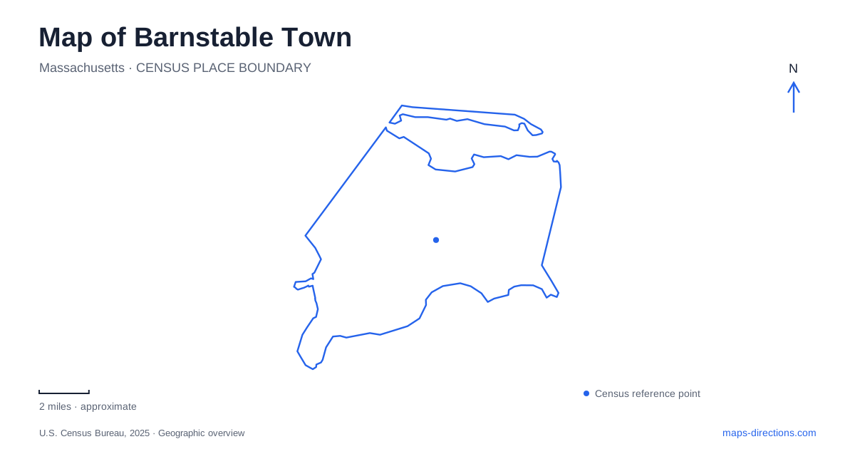
Street tiles load from OpenStreetMap when opened. The blue line shows the 2025 Census boundary.
- State
- Massachusetts
- Population · July 2025
- 50,101
- Land area
- 59.9 sq mi
- Water area
- 16.5 sq mi
Barnstable Town stretches across Cape Cod from the bay shore to Nantucket Sound, and its seven villages provide the most useful way to understand that width. Hyannis is the commercial and transportation center, but it is only one part of the municipality. Barnstable Village and West Barnstable face the northern landscape, while Centerville, Osterville, and Cotuit organize much of the southern shore. Marstons Mills adds an inland landscape of ponds. Those names describe places within one municipality rather than seven separate towns.
Start with the two shorelines
Cape Cod Bay lies to the north and Nantucket Sound to the south. Sandwich and Mashpee are the neighboring towns to the west, with Yarmouth on the east. These boundaries give a clearer orientation than assuming every Cape destination follows a single coastal strip. A journey between the northern village center and Hyannis crosses between different waterfront settings, each with its own roads, harbor geography, and visitor destinations.
The seven-village pattern also explains the variety of addresses on a map of Barnstable Town. The county registry lists additional familiar locality names, including Craigville, Hyannis Port, Cummaquid, and Wianno. An address using one of those names is not necessarily outside the municipal boundary. Retaining the village and postal information in a destination search is especially helpful here, where several places use Main Street as a central road name.
The northern village and Old King's Highway
Barnstable Village centers on Route 6A, known as Old King's Highway. The county complex, a small commercial district, a working harbor, and historic institutions form its principal landmarks. Sturgis Library, the Olde Colonial Courthouse, and the Coast Guard Heritage Museum offer distinct points for understanding the village rather than one large attraction site.
Route 6A should remain separate in the traveler's mind from the broader highway system. Its village destinations and historic buildings give it a different role from a through journey across the Cape. West Barnstable occupies the northwestern part of the municipality. Reading the two northern villages together is useful, but the village names still matter: the county buildings and harbor belong to one local center, while the western village and Sandy Neck approaches form another part of the northern landscape.
Sandy Neck is more than a beach edge
Sandy Neck introduces a long barrier landscape of dunes, maritime woodland, and marsh. The town describes an ecosystem shaped over thousands of years, and the state designated the larger barrier beach system an Area of Critical Environmental Concern in 1978. The protected system includes resources associated with both Barnstable and Sandwich.
On a map of Barnstable Town, the distinction between the bay-facing beach and the harbor-side marsh is particularly revealing. The same narrow landform contains exposed shoreline and sheltered wetland environments. It should not be read as an ordinary strip of developable waterfront. The town publishes separate trail information and vehicle-permit arrangements because beach recreation, habitat protection, and travel through the barrier require different kinds of management.
Hyannis and its transport addresses
Hyannis combines the municipal area's strongest concentration of commercial activity with regional transport functions. The Transportation Center is at 215 Iyannough Road. The Steamship Authority's Hyannis terminal is at 69 South Street, serving the Nantucket route. These are separate destinations, so an arrival by bus or rail and a departure by ferry involve a transfer within the village.
The transit authority's trolley description traces a local circuit from the Transportation Center along Main Street toward the West End Rotary, then by Sea Street, Gosnold Street, and Ocean Street to the waterfront. That sequence is a useful geographical outline even when planning a visit outside the trolley's operating season. It identifies the commercial street, the west end, and the docks as connected but distinct pieces of Hyannis. Operator schedules determine the actual service available for a particular trip.
Southern villages and inland water
The southern side of Barnstable Town changes character westward from Hyannis. Centerville includes Lake Wequaquet as well as its beach landscape. Osterville lies farther west, with inlets and harbors, and Cotuit occupies a peninsula beyond it. Marstons Mills is north of Osterville and is associated with a more rural, pond-filled setting. This arrangement explains why a straight line between shoreline destinations can conceal a less direct journey around water.
The municipal geographic information system reinforces these distinctions through separate ways-to-water maps for Cotuit Bay, Craigville Beach, Kalmus Beach, Lake Wequaquet, Mystic Lake, and Prince Cove. Those named water bodies make more useful planning anchors than an undifferentiated beach search. Across Barnstable Town, the village, shoreline, and specific water feature together provide a practical framework for locating an address and understanding the landscape around it.
Map and statistics: U.S. Census Bureau, 2025 Gazetteer, January 2025 generalized place boundaries and Vintage 2025 population estimates. Local references: Town of Barnstable; Barnstable County; Massachusetts government; Cape Cod Regional Transit Authority; Steamship Authority. Article prepared by Maps & Directions.