Map of Baltimore
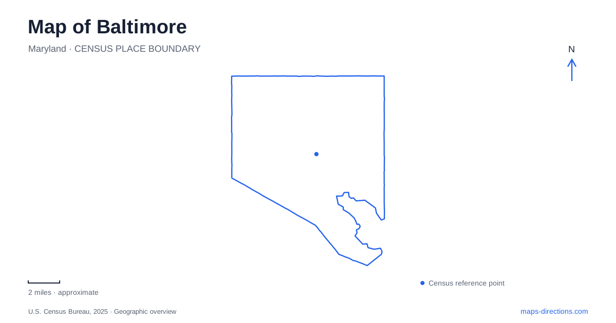
Street tiles load from OpenStreetMap when opened. The blue line shows the 2025 Census boundary.
- State
- Maryland
- Population · July 2025
- 569,997
- Land area
- 80.9 sq mi
- Water area
- 11.1 sq mi
Baltimore's harbor creates a geography of edges, points, and neighborhoods that cannot be reduced to a straight waterfront street. The Inner Harbor is an obvious starting reference, but Fell's Point, Federal Hill, and Locust Point each occupy a different setting around the water. Inland, Mount Vernon follows a more formal arrangement of streets and public squares. Patterson Park offers another organizing landmark for the eastern neighborhoods. Understanding those differences makes a local map useful before any route is calculated.
Follow the shoreline through distinct neighborhoods
The waterfront promenade connects parks, museums, historic places, and neighborhood businesses across more than seven miles. Its continuity is useful, but it does not make the adjoining neighborhoods identical. A route along the water can move from the Inner Harbor's central public spaces into areas shaped by shipbuilding, commerce, and residential streets.
Fell's Point preserves a strong maritime identity. The official neighborhood guide describes its former shipbuilding role and the ballast-block streets that remain part of its character. The Frederick Douglass–Isaac Myers Maritime Park Museum adds a specific place for understanding the area's African American shipyard history. These details help explain why the district is more than another section of restaurant-lined waterfront.
Across the harbor, Federal Hill is known for its elevated views, rowhouses, and Cross Street Market. Locust Point lies along the southern harbor edge and includes the approach to Fort McHenry. A Baltimore map should show the water between these places clearly: proximity across a harbor is different from proximity along a connecting street.
The fort sits at the end of a peninsula route
Fort McHenry's address is 2400 East Fort Avenue. The National Park Service describes it as southeast of the Inner Harbor, with a signed approach from I-95 and Key Highway. From the central waterfront, the land route follows Light Street to Key Highway, then Lawrence Street and Fort Avenue. The named sequence shows how the peninsula's street network shapes access.
The park service specifically directs visitors along Lawrence Street rather than Woodall Street, which some navigation results may suggest. That is a useful local correction grounded in the site's own directions. It is more actionable than simply placing a marker over the fort's grounds.
The setting also explains why a visit belongs in a separate segment of a harbor itinerary. The fort occupies the edge of the peninsula, while many other waterfront attractions sit closer to the central basin. In Baltimore, the harbor's outline should be treated as an active part of route planning, not as empty space between nearby map pins.
Mount Vernon is organized around four squares
Mount Vernon Place has a different spatial logic. Four rectangular parks surround the Washington Monument: East and West Mount Vernon Place, and North and South Washington Place. The monument's cornerstone was laid in 1815, and the surrounding arrangement became an early example of deliberate urban planning around an existing landmark.
This cross-shaped setting makes the monument a useful orientation point. The surrounding streets, gardens, and institutional buildings can be read in relation to it. The monument and the neighborhood are connected, but they are not interchangeable names: Mount Vernon includes a wider cultural district beyond the immediate squares.
The Walters Art Museum lies at 600 North Charles Street, about a mile north of the Inner Harbor. Its street context includes Centre and Cathedral streets as well as Charles. Those names provide a practical transition from the monument-centered view to an individual building. For a Baltimore cultural itinerary, this cluster offers a coherent inland alternative to following the waterfront.
A residential setting became a cultural district
The land around the Washington Monument was once known as Howard's Woods. The Mount Vernon Place Conservancy describes how gardens and an impressive residential setting developed around it, with substantial houses appearing in the 1830s and 1840s. Later, churches, educational institutions, and museums replaced some mansions, while other buildings were transformed.
This sequence helps explain the mixture visible around the squares. The cultural district did not begin as a group of museums set apart from the city. It grew within a residential landscape whose gardens and building frontages still shape the experience of moving through it. Reading the blocks around the monument therefore reveals both a planned public setting and layers of later use. The squares supply continuity even where the purpose of an individual building has changed.
Patterson Park has landmarks within its open space
Patterson Park's Observatory, commonly called the Pagoda, was constructed in 1891–92. Its distinctive appearance makes it a recognizable feature within a much larger park. The Boat Lake has a different origin: it was created during grading in 1864, when military earthworks were removed and ravines filled.
These two features reveal how the park combines designed scenery with the history of the land itself. A park map that labels the Observatory, lake, entrances, and paths is more informative than a single green polygon. It allows a walk to follow particular landmarks without confusing the whole park with one destination.
A map of Baltimore works best when it preserves these local organizing features: the irregular harbor shore, the peninsula approach to the fort, the formal Mount Vernon squares, and Patterson Park's internal landmarks. Each explains a different part of the city, and together they provide a grounded way to connect its neighborhoods.
Map and statistics: U.S. Census Bureau, 2025 Gazetteer, January 2025 generalized place boundaries and Vintage 2025 population estimates. Local references: Waterfront Partnership; Visit Baltimore; National Park Service; Walters Art Museum; Friends of Patterson Park; Mount Vernon Place Conservancy. Article prepared by Maps & Directions.