Map of Baldwin Park
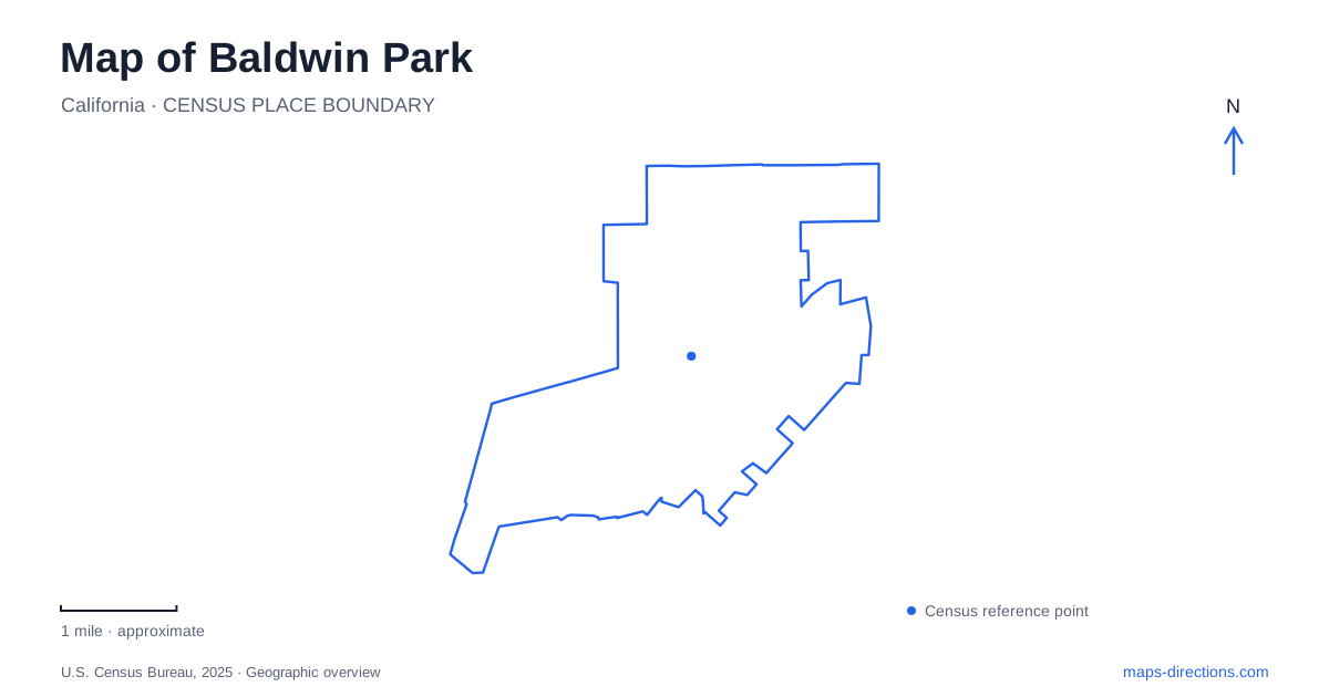
Street tiles load from OpenStreetMap when opened. The blue line shows the 2025 Census boundary.
- State
- California
- Population · July 2025
- 68,880
- Land area
- 6.6 sq mi
- Water area
- 0.2 sq mi
Baldwin Park combines a small-farm past with a present shaped by rail, freeways, civic recreation, and the San Gabriel River. Ramona Boulevard and Maine Avenue are important local corridors, while Downing Avenue identifies the passenger-rail station. The city's attractions make more sense when placed within those different systems: a historical museum belongs to the civic center, an early restaurant replica recalls automobile culture, and the riverside greenway creates a separate route for walking and cycling.
The earlier community called Vineland
Municipal historical material describes small farms and vineyards north of present-day Ramona Boulevard after cattle ranching declined. The community was initially called Pleasant View and became Vineland in 1880. Its general store stood near today's Los Angeles and La Rica streets, providing a commercial focus before the modern city developed. The place later took its present name in 1906 and incorporated in 1956.
Those earlier street references are useful because agricultural history can otherwise disappear behind the dense modern road network. The old store corner and the area north of Ramona locate the account within today's city rather than leaving it as an abstract founding story. Baldwin Park's transformation involved changes in settlement scale, transportation, and public institutions, but several of the roads still provide a framework for interpreting the earlier community.
Rail access on Downing Avenue
The Metrolink station is at 3825 Downing Avenue on the San Bernardino Line. Its operator lists connections with Metro buses, Foothill Transit, and local shuttles. This makes it a regional arrival point with onward local connections, distinct from a recreation or historical attraction in its own right. A map that includes the station can reveal travel options beyond the freeway network.
The station's passenger address is particularly useful because the operator also lists the municipal owner's Pacific Avenue address on the same information page. The Downing Avenue location is the one associated with boarding trains. Keeping the actual rail facility visible among the surrounding streets helps separate transport operations from city administration, a small but practical distinction when searching by institution names.
Art Deco architecture and community history
The Arts and Recreation Center occupies 14403-B East Pacific Avenue. The city describes it as a Depression-era building retaining Art Deco character, now used for cultural classes, studios, meeting rooms, and events. It is also the permanent home of the historical society. History is therefore interpreted inside a building that is itself part of the community's architectural record.
This combination gives Baldwin Park's civic area a layered use. A visit for an exhibition belongs to the same facility as contemporary classes and gatherings, while the older design remains visible around those activities. The center can be understood as an example of continued public use rather than a historic building removed from daily life. Pacific Avenue provides the address anchor for that cultural setting.
Morgan Park's continuing public role
Morgan Park developed from an orange grove sold by J. W. Morgan in 1931 to provide recreation for local young people. Today the adjoining Esther Snyder Community Center, at 4100 Baldwin Park Boulevard, combines indoor facilities with the park's outdoor spaces. The municipal directory identifies an amphitheater, playground, splash pads, fitness areas, and athletic fields outside, with a gym and meeting rooms inside.
The orchard origin helps connect this public landscape to the agricultural community described in the historical record. The park is also a group of activity areas rather than a single lawn. Its relationship to the community center explains why a map may show several civic and recreational labels close together: they describe complementary parts of one established gathering place.
A replica and a river corridor
In-N-Out's first restaurant opened locally in 1948 at Francisquito and Garvey. The company's historical display at 13752 Francisquito Avenue is a replica that opened in 2014. It recreates the tiny early drive-through stand for viewing and photographs. The surviving attraction therefore interprets the original business rather than being the untouched 1948 structure.
On the river side of the city, a 2.3-mile greenway follows the east bank of the San Gabriel River from Ramona Boulevard toward Walnut Creek Nature Park. The city identifies access at the nature park, Syracuse Avenue and Farnell Street, and other corridor points. Plans for a Big Dalton Wash extension describe a broader five-mile network; use trail-access guidance to distinguish available paths from the planning boundary. These landscapes give Baldwin Park a local map story spanning agriculture, public institutions, automobile history, and active transportation.
Map and statistics: U.S. Census Bureau, 2025 Gazetteer, January 2025 generalized place boundaries and Vintage 2025 population estimates. Local references: City of Baldwin Park; Baldwin Park Historical Society / Arcadia Publishing; Metrolink; In-N-Out Burger. Article prepared by Maps & Directions.