Map of Azusa
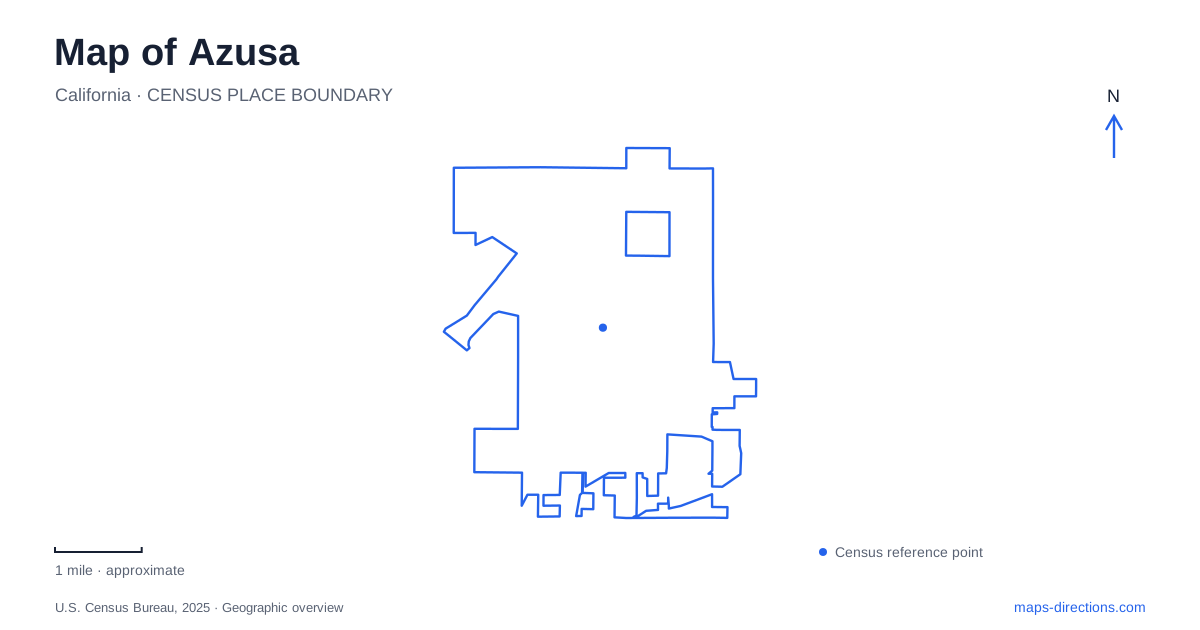
Street tiles load from OpenStreetMap when opened. The blue line shows the 2025 Census boundary.
- State
- California
- Population · July 2025
- 47,447
- Land area
- 9.7 sq mi
- Water area
- 0.0 sq mi
Azusa has two very different travel settings: the street-and-rail network around Foothill Boulevard and the approach into San Gabriel Canyon. The rail stations help locate urban destinations, while Highway 39 organizes a journey toward the mountains. A useful map preserves that change of setting. A canyon attraction with a city mailing address is not necessarily near a downtown platform, and a station serving nearby colleges is not a substitute for a specific campus entrance.
Distinguish the two rail destinations
Azusa Downtown and APU/Citrus College are separate Metro stations. The rail construction authority places the first in the downtown core and the second near the eastern city boundary by the university and college area. That difference matters when arranging a pickup or choosing the final rail stop for an appointment. Save the full station name rather than a shortened city-only label.
Metro's parking information lists the downtown parking address on North Alameda Avenue and the APU/Citrus parking address on North Citrus Avenue. A parking facility and a platform may have different address references, so choose the one appropriate to the arrival mode. Someone driving to leave a car needs the parking entrance; someone walking to board a train needs the pedestrian access. Sharing the same broad station name does not automatically resolve that distinction.
Older Gold Line maps need context
Historical material often calls this corridor the Gold Line. Metro identifies the current service as part of the A Line following the 2023 network reconfiguration, with the route subsequently extended beyond the former APU/Citrus terminus. An older map can still be useful for locating the physical stations, but its line name and endpoint should not be used as current operating information.
For an Azusa rail trip, use the current operator map and schedule when choosing a train. Keep historic project maps for their geographic or construction context. This avoids assuming that a station remains the end of the line merely because an older article celebrated the opening of that extension. The physical place and the service pattern are related, but they do not change on the same timetable.
Foothill Boulevard marks the urban reference
The downtown station area is associated with North Alameda Avenue and Santa Fe Avenue, north of Foothill Boulevard. APU/Citrus is a separate station farther east near Citrus Avenue. These street references allow you to compare the two urban arrival areas without treating every college, downtown business or civic destination as equally close to either stop.
Foothill Boulevard is also a useful reference before a canyon journey. City directions describe the northbound approach from the 210 Freeway along the city avenue that becomes Highway 39, or San Gabriel Canyon Road. Follow the named road transition on the map. A change from an urban street name to a canyon-road label does not necessarily represent a turn, but it does mark a different geographic context from the downtown grid.
The gateway center is not the whole canyon
The San Gabriel Canyon Gateway Center is listed at 1950 North San Gabriel Canyon Road. The city identifies interpretive gardens, picnic areas and restrooms there. It is a specific orientation stop near the canyon entrance, not a general substitute for every trailhead or recreation site farther along the road. Enter it by name if that is where you intend to meet.
Azusa's published East Fork directions distinguish Highway 39 from East Fork Road. That junction is a critical geographic reference for outings heading toward the East Fork rather than continuing on the main canyon road. A broad map pin placed on the river cannot resolve the intended branch or parking area. Identify the named destination first, then check current road and land-manager information for that particular outing.
Separate a gateway walk from an OHV trip
The Watershed Conservation Authority describes the Hilda Solis River Outlook and a walk along North Old San Gabriel Canyon Road at the former El Encanto property. Separately, Recreation.gov identifies the San Gabriel Canyon off-highway vehicle area farther into the canyon along Highway 39, with its own staging area and reservation arrangements. Those are fundamentally different destinations despite sharing canyon and river terminology.
A map of Azusa should therefore keep the downtown station, the eastern station, the gateway center and the chosen canyon destination as separate points. Decide whether the trip is an urban errand, a rail arrival, a short riverside outing or a regulated vehicle-recreation visit before comparing routes. That decision gives the map a useful purpose and prevents similar geographic names from hiding a substantial difference in access.
Map and statistics: U.S. Census Bureau, 2025 Gazetteer, January 2025 generalized place boundaries and Vintage 2025 population estimates. Local references: Foothill Gold Line Construction Authority; Los Angeles Metro; City of Azusa; Watershed Conservation Authority; Recreation.gov / Angeles National Forest. Article prepared by Maps & Directions.