Map of Avondale
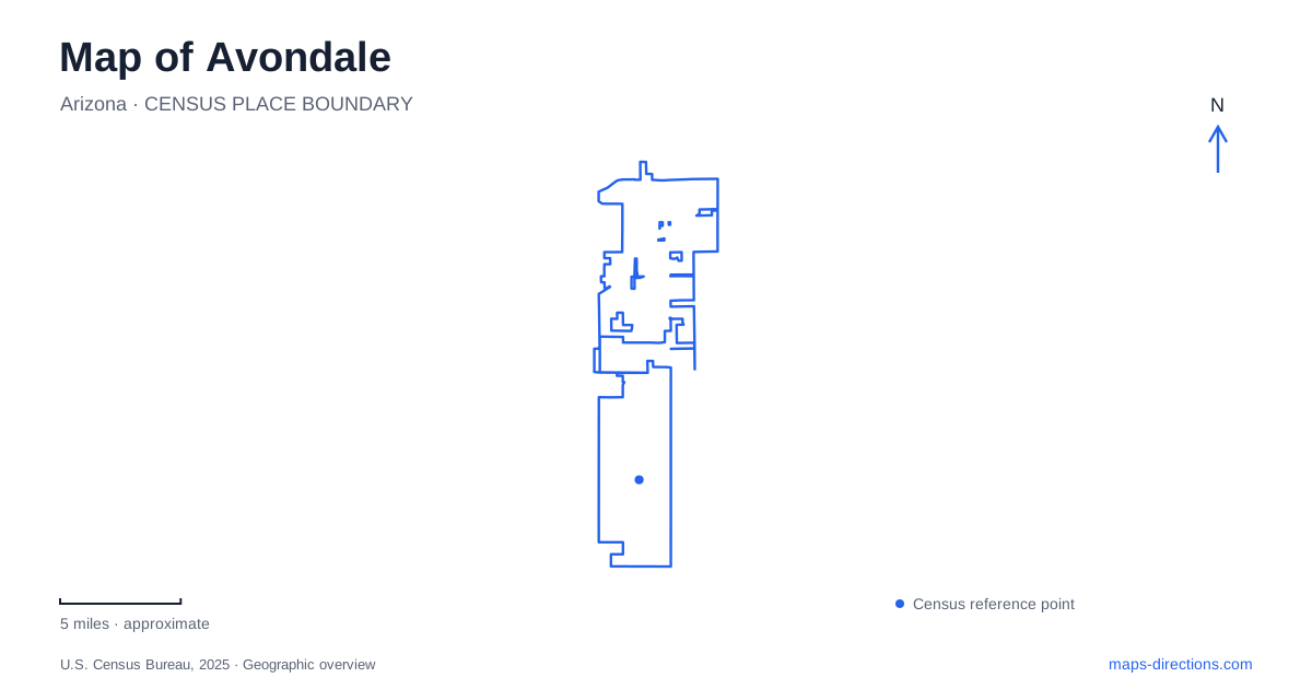
Street tiles load from OpenStreetMap when opened. The blue line shows the 2025 Census boundary.
- State
- Arizona
- Population · July 2025
- 100,983
- Land area
- 47.8 sq mi
- Water area
- 0.3 sq mi
Avondale has an older commercial street, a separate civic campus, and a southern landscape shaped by rivers and motorsport. These places give a more useful introduction than the freeway alone. Western Avenue explains the historic center, Civic Center Drive locates municipal services, and the Gila, Salt, and Agua Fria rivers explain the open land near the southern end of the developed street network. The result is a city whose major destinations belong to several different geographical systems.
Western Avenue and its neighborhood setting
Western Avenue is the historic commercial corridor identified in the city's specific area plan. Central Avenue and Dysart Road provide important reference points for that corridor, while Buckeye Road is another named line in the surrounding street pattern. The plan treats Old Town, Cashion, and Las Ligas/Rio Vista as distinct districts. Keeping those neighborhood names visible avoids reducing the older city to one generalized downtown label.
Sam Garcia Western Avenue Library, at 495 East Western Avenue, anchors a particularly useful public-space cluster. The library stands beside Sernas Plaza and Dennis DeConcini Park. Its street-facing glass and adjacent outdoor space connect the building with the commercial streetscape rather than isolating it in a remote institutional campus. For someone reading a neighborhood map, the library, plaza, and park together identify a small civic gathering area within the older corridor.
The city's infrastructure documentation places part of Cashion between 113th and 111th avenues, from Durango to MC 85. It separately identifies a Las Ligas project area between 127th and 125th avenues, from Elwood to Illini. These are project limits, not complete neighborhood boundaries, but they give concrete street references for locating the two districts relative to each other.
Two civic anchors in Avondale
The Western Avenue library should be distinguished from the library at 11350 West Civic Center Drive. The latter belongs to a government complex that also contains City Hall, the city courts, and police headquarters. A visit to an administrative office therefore belongs to a different cluster from an afternoon around Sernas Plaza.
This distinction also reveals two scales of public space. Western Avenue combines a library with an established shopping street and adjoining plaza. The Civic Center Drive grouping brings several municipal institutions together in a campus. Both are useful orientation points, but each organizes a different set of local trips. Keeping the full library name in a saved destination makes the map substantially clearer.
Lower Buckeye Road and Festival Fields
Festival Fields Park is at 101 East Lower Buckeye Road. Its pond is part of Arizona's Community Fishing Program, giving this park a recreational identity beyond the playing fields suggested by its name. The state describes a 2.5-acre fishing pond; swimming, wading, and boating are prohibited there. A blue patch inside this park consequently represents managed fishing water rather than a swimming lake or launch site.
For a local outing, this distinction becomes especially useful when comparing Festival Fields with the river landscape farther south. One is a neighborhood park with a stocked community fishery. The other is a flood-prone river corridor with wildlife habitat and separate access arrangements. Their water features should not be treated as interchangeable recreational facilities.
Where three river corridors converge
Tres Rios refers to the meeting landscape of the Gila, Salt, and Agua Fria rivers. The Base & Meridian Wildlife Area occupies this southern setting. A former low-water crossing of the Gila on 115th Avenue, now named Avondale Boulevard, helps explain why old and new road names appear in descriptions of the same locality.
The city and Arizona Game and Fish Department documented flood damage and a restoration project in 2025, including work around the crossing and the route to a kayak launch. That history matters when reading the site: paved surfaces, river channels, and access routes occupy an environment that can change after flooding. The old crossing is a geographical and historical feature, not a reason to assume unrestricted through-driving across the riverbed.
The raceway has its own arrival geography
Phoenix Raceway is in Avondale at 7602 Jimmie Johnson Drive. Its administrative office is a separate destination at 125 South Avondale Boulevard. The track's name can suggest central Phoenix, while an office search can suggest the wrong local address; the track address resolves both ambiguities.
The operator also publishes different approaches for general parking and pass or accessible parking. Its directions use Estrella Parkway and Litchfield Road for general parking from Interstate 10, while designated pass and accessible approaches use the boulevard at Exit 131. The practical map is therefore an event circulation map as well as a road map. Western Avenue, the civic campus, Festival Fields, the river corridors, and this large venue together explain how the city's destinations are distributed.
Map and statistics: U.S. Census Bureau, 2025 Gazetteer, January 2025 generalized place boundaries and Vintage 2025 population estimates. Local references: City of Avondale; Arizona Game and Fish Department; Phoenix Raceway. Article prepared by Maps & Directions.