Map of Austin
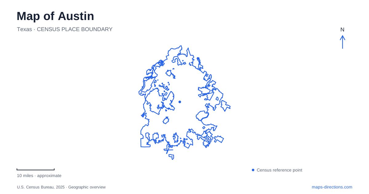
Street tiles load from OpenStreetMap when opened. The blue line shows the 2025 Census boundary.
- State
- Texas
- Population · July 2025
- 1,002,632
- Land area
- 325.0 sq mi
- Water area
- 6.6 sq mi
Austin is easier to navigate when the central lake, the Capitol and the university are treated as separate orientation points rather than one downtown destination. Lady Bird Lake creates a clear division between the central business district and streets to the south. Congress Avenue provides a recognizable connection through that central area, while trips toward the university, the northwestern rail corridor or the airport extend beyond it. Decide which of these geographic settings contains your destination before choosing a crossing, station or parking location. A citywide map establishes the relationships; the last part of the journey usually needs a much closer view.
Congress Avenue gives downtown a north–south reference
The city's transportation department describes Congress Avenue as the downtown connection between Lady Bird Lake and the Texas State Capitol. That makes it a useful starting line for orientation: find the Capitol, follow the avenue south, and identify where it crosses the water. A destination described as being near Congress still needs a cross street, because the same corridor passes through several different arrival environments.
The downtown grid and the South Congress corridor should also be distinguished. A meeting north of the lake and a restaurant south of it may share the avenue name without sharing a convenient parking location. Keep the side of the water in the destination notes. When comparing two stops, look at the selected bridge and the streets feeding it instead of judging the trip only from the distance between labels on a small overview.
Lady Bird Lake has trails, bridges and distinct access points
The Ann and Roy Butler Hike-and-Bike Trail follows the central waterfront and includes the Boardwalk. It is a recreation and movement corridor in its own right, not simply a footpath attached to every road bridge. The city's trail map identifies crossings including the Pfluger pedestrian bridge and the Congress Avenue bridge. Choose the crossing appropriate to the intended walking route rather than assuming that a route drawn for a car describes the same approach.
Lake access is equally specific. The city lists Festival Beach on Nash Hernandez Senior Road and other launch or shoreline access areas in different parts of the reservoir. A broad lake marker does not identify a boat launch, trail entrance or meeting point. For a waterside outing, retain the facility name and arrival street together. Construction associated with I-35 can affect nearby park and trail access, so consult current notices before relying on a saved connection through that part of the waterfront.
The university requires a campus-scale map
The University of Texas at Austin is a different kind of destination from the downtown office grid. A campus building, a garage and a public road can sit close together without sharing the same vehicle entrance. The university's access guidance identifies controlled approaches and gates around parts of the campus, including streets near the Speedway Pedestrian Mall. A building pin alone is therefore not an instruction to drive to its front door.
Use the building name to identify the correct part of campus, then select parking or a permitted drop-off approach separately. For someone arriving on foot or by transit, the pedestrian connections can be more relevant than the driving route around the perimeter. The distinction is particularly useful around Speedway: its role as a campus pedestrian space should not be confused with the wider street network suggested by its name.
A rail corridor is different from a general city connection
CapMetro's Red Line links Downtown with Leander through central and northwestern Austin. The operator's station information includes Highland, serving the ACC area, and McKalla, associated with Q2 Stadium. These named stops make the rail line useful for particular journeys, but they do not mean every northern destination lies beside a platform. Locate the destination first and compare its final approach with the relevant station.
For a downtown-to-northwest itinerary, the station sequence can supply a clearer geographic plan than repeatedly returning to a central parking place. For a destination away from the line, a separate connection may be needed. Keep the rail map and the local street map together: the former establishes the transport corridor, while the latter answers which entrance, block or side of the road completes the trip. Check the current operating information when choosing a departure rather than treating a route diagram as a timetable.
The airport belongs to a separate approach
Austin-Bergstrom International Airport lies southeast of the central city, with Highway 71 providing an important approach reference. It should not be treated as another stop along the downtown walking or rail corridor. The terminal, parking area and pickup location also answer different arrival questions, so use the instructions for the particular part of the airport you need rather than a general airport pin.
A practical map of Austin therefore works at several scales. Congress Avenue and Lady Bird Lake explain the central orientation; the campus map handles university access; the Red Line diagram clarifies station-based journeys; and the airport requires its own approach view. Keep those frames distinct when combining activities. Their value is in explaining the real connections between destinations, without turning a broad city label into a promise that every stop is nearby or reached in the same way.
Map and statistics: U.S. Census Bureau, 2025 Gazetteer, January 2025 generalized place boundaries and Vintage 2025 population estimates. Local references: City of Austin; University of Texas at Austin; CapMetro. Article prepared by Maps & Directions.