Map of Augusta
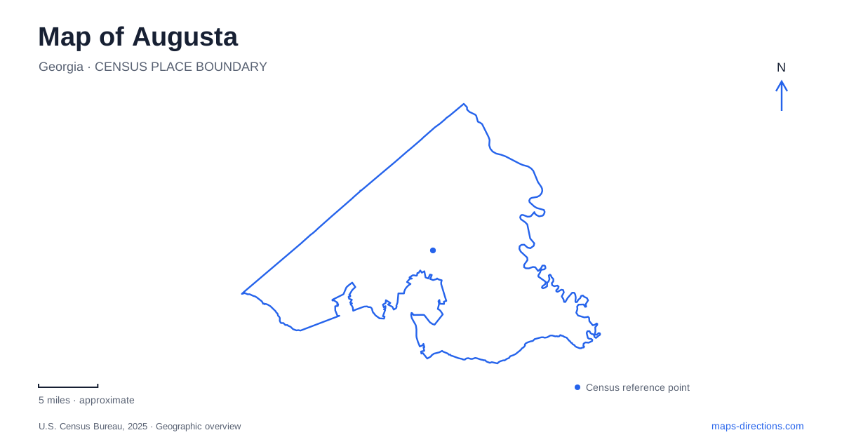
Street tiles load from OpenStreetMap when opened. The blue line shows the 2025 Census boundary.
- State
- Georgia
- Population · July 2025
- 201,999
- Land area
- 302.3 sq mi
- Water area
- 4.2 sq mi
A map of Augusta is shaped by three related but distinct water landscapes. The Savannah River forms the downtown waterfront, an industrial canal diverts water through the city, and Phinizy Swamp reveals a broader floodplain environment downstream. Broad Street provides a commercial spine close to the river, while mills, towpaths and wetland trails explain other parts of the urban pattern. Following those relationships shows how water has supported transport, manufacturing, public recreation and environmental repair.
Broad Street and the riverfront blocks
Broad Street runs through the center of downtown, with shops, restaurants and historic buildings creating a different setting from the open river edge nearby. Reynolds Street and the numbered cross streets help connect that commercial corridor with waterfront destinations. The region's history museum is at 560 Reynolds Street, while the Morris Museum of Art stands at One 10th Street.
Those addresses locate different cultural subjects within the same downtown area. The history museum interprets the region's past, including transport and the legacy of James Brown. The art museum presents works from the nineteenth century onward. Their proximity to the river makes them part of a wider downtown visit rather than an isolated museum district.
The central blocks of Augusta are therefore useful to read across as well as along. Broad Street describes the commercial direction; numbered streets lead toward the Savannah and its public spaces. This arrangement allows a visitor to combine streetscape, museums and water views without assuming they all occupy one continuous promenade.
A riverwalk above and beside the water
The Riverwalk is a multilevel brick path along the Savannah. Its upper and lower areas create different relationships with the river and the levee. The city ordinance's definition focuses on the levee between 6th and 10th streets, while visitor guides also discuss attractions beyond that central section.
Entrances around 6th, 8th and 10th streets connect the walkway to downtown. The 8th Street entrance is associated with the market area, and the nearby 5th Street Freedom Pedestrian Bridge adds another river viewpoint. The Jessye Norman Amphitheater and gardens give the waterfront additional purposes beyond walking.
For an Augusta map, the important distinction is between the Riverwalk itself and the larger collection of nearby riverfront places. The levee, museum approaches, bridge and downtown streets fit together, but their different levels and alignments explain why the route does not resemble a straight sidewalk beside the water.
The canal follows the Fall Line
The industrial canal was built in 1845 for power, water supply and transportation. It takes advantage of the Fall Line, where the Piedmont's higher ground meets the Coastal Plain. Water diverted at Savannah Rapids passes through a system built in three levels, using the available change in elevation.
The first level extends roughly seven miles from the headgates to 13th Street, running broadly parallel to the river. A towpath along its north side is for walking and cycling. The headgates sit in Columbia County's Savannah Rapids Park, so the canal's starting point is separate from its downtown interpretation center.
The second and third levels wind through the city and are less visible than the long upper section. This helps explain why a simple search for the canal can produce places with very different appearances: wooded towpath, industrial channels and mill buildings all belong to the same engineered system.
Mill buildings and a working waterway
Enterprise Mill houses the canal's National Heritage Discovery Center at 1450 Greene Street. The restored industrial setting gives exhibits a direct relationship with the waterway they describe. The canal authority's history records factories operating by 1847 and a later expansion of textile manufacturing after the canal was enlarged in the 1870s.
The canal still contributes to Augusta's water supply and supports small hydroelectric plants. It is therefore both a historic landscape and operating infrastructure. Its first level has designated paddling access, but the authority warns against using the obstructed second and third levels. The distinction follows the physical design of the canal, not simply a difference in scenery.
Phinizy's natural and constructed wetlands
Phinizy Swamp Nature Park is at 1858 Lock and Dam Road, reached from Doug Barnard Parkway. Butler Creek runs through the wider swamp toward the Savannah River. The park represents only part of that larger wetland landscape, which also includes other land uses and a separate wildlife management area.
Within the park, the Beaver Dam Trail follows the creek floodplain, while boardwalks provide views of wetland vegetation. The Pond Trail surrounds an equalization pond holding treated wastewater before it enters constructed wetland cells. Those cells provide an additional treatment stage before water returns to the river.
The resulting landscape combines ecological habitat, research and municipal water management. On a map of Augusta, it completes the water story begun at the canal headgates: river water supports the city, passes through engineered systems, and returns through a landscape where treatment and nature are closely connected.
Map and statistics: U.S. Census Bureau, 2025 Gazetteer, January 2025 generalized place boundaries and Vintage 2025 population estimates. Local references: Visit Augusta; Augusta-Richmond County; Augusta Canal Authority; Phinizy Center. Article prepared by Maps & Directions.