Map of Auburn
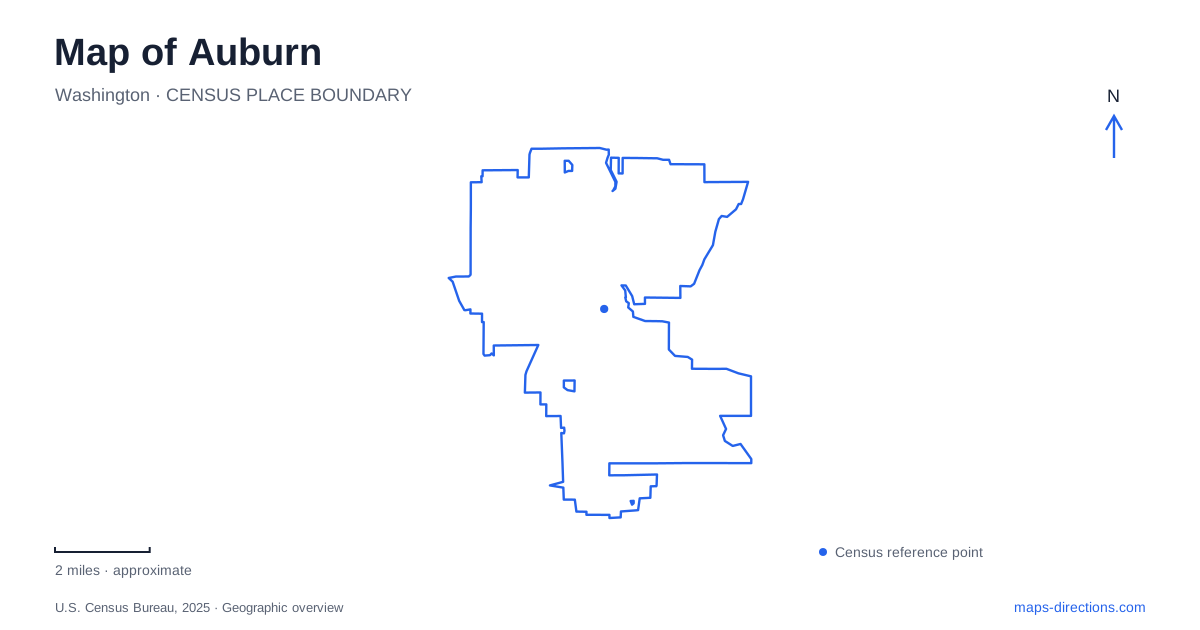
Street tiles load from OpenStreetMap when opened. The blue line shows the 2025 Census boundary.
- State
- Washington
- Population · July 2025
- 86,301
- Land area
- 29.8 sq mi
- Water area
- 0.3 sq mi
Auburn's map becomes more legible when the Green River and White River are treated as separate reference lines. Both appear in local recreation names, but they do not identify the same corridor. Downtown adds a transit hub, while the Les Gove campus gathers cultural and community facilities in another setting. An itinerary that crosses between these places needs more than a general city pin: it needs the particular river, facility and street address associated with each stop.
Start with the station's intersection
King County places Auburn Station at A Street Southwest and Second Street Southwest. This is a useful downtown anchor because an intersection is more precise than a broad downtown label. The southwest suffix is part of the address, not optional decoration. Preserve it when entering a destination or sharing a meeting point, particularly if a navigation search offers similarly numbered streets elsewhere.
A station also represents several potential arrival points: a boarding area, a pedestrian approach and a place where someone might arrange a pickup. The intersection identifies the site, but it does not establish that every edge is appropriate for every activity. Use the station's boarding information for the transit portion of a journey, then identify the actual meeting location separately. This keeps a train or bus transfer from becoming a search for an unspecified person somewhere around the block.
Les Gove is a campus rather than one building
The city's description places Les Gove Park at 910 Ninth Street Southeast and identifies a cluster that includes the community and event center, teen center, gymnasium, senior activity center, library and White River Valley Museum. These institutions share a recreation setting but remain individual destinations. A map result for the park can be correct while still leaving the final doorway unresolved.
For an Auburn appointment on this campus, retain the building name as well as the park address. The municipal description places the museum behind the library, a useful relationship when interpreting a close map view. Someone attending a program at the gymnasium should not assume that a museum entrance or general park marker will identify the appropriate arrival point. The campus label is the beginning of the location check, not its end.
Two Game Farm parks sit across a river
The current municipal directory distinguishes Game Farm Park at 3030 R Street Southeast from Game Farm Wilderness at 2401 Stuck River Drive Southeast. It also identifies a pedestrian bridge across the White River connecting the two. This is the critical map detail: the shared name reflects a relationship between sites, but it does not make their vehicle approaches interchangeable.
The regular park includes sports and play facilities; the wilderness site includes camping and a disc golf course among its listed amenities. Decide which facility is involved before asking for directions. A driving route should target the relevant street address, while a walk between the parks can consider the pedestrian connection. A bridge symbol on a small map must be interpreted by permitted travel mode, especially where two similarly named parks encourage the assumption of easy car access between them.
Do not replace the White River with the Green River
The same parks directory lists Isaac Evans Park at 29827 Green River Road Southeast, with river access, trails and picnic facilities. Its river setting is different from that of the Game Farm pair. The street name gives a useful clue, but the entire address remains important: a road following a river can serve several destinations along its length.
For an Auburn recreation trip, recording the river beside each saved park pin can prevent an unnecessary detour. “River park” is too broad a description when more than one waterway is involved. Use “Isaac Evans on Green River Road” or the complete Game Farm destination name when organizing a group. These distinctions preserve the actual geography rather than letting similar amenity descriptions blur different places together.
Read hills and neighborhood parks at their own scale
Lea Hill Park is listed at 31693 124th Avenue Southeast, while Lakeland Hills Park uses 1401 Evergreen Way Southeast. Their names provide neighborhood context, and their separate street references show why they should not be folded into a generic downtown park search. A local park may be the right destination for a neighborhood activity even when a larger citywide facility is more prominently labeled.
A practical Auburn map can therefore be organized into a small set of specific anchors: the downtown station intersection, the Les Gove facility being visited, the correct Game Farm riverbank and the named neighborhood park. Keep directional suffixes, river names and individual buildings attached to those anchors. Those details do more to clarify the journey than a long list of attractions without a precise relationship to the streets that reach them.
Map and statistics: U.S. Census Bureau, 2025 Gazetteer, January 2025 generalized place boundaries and Vintage 2025 population estimates. Local references: King County Metro; City of Auburn. Article prepared by Maps & Directions.