Map of Attleboro
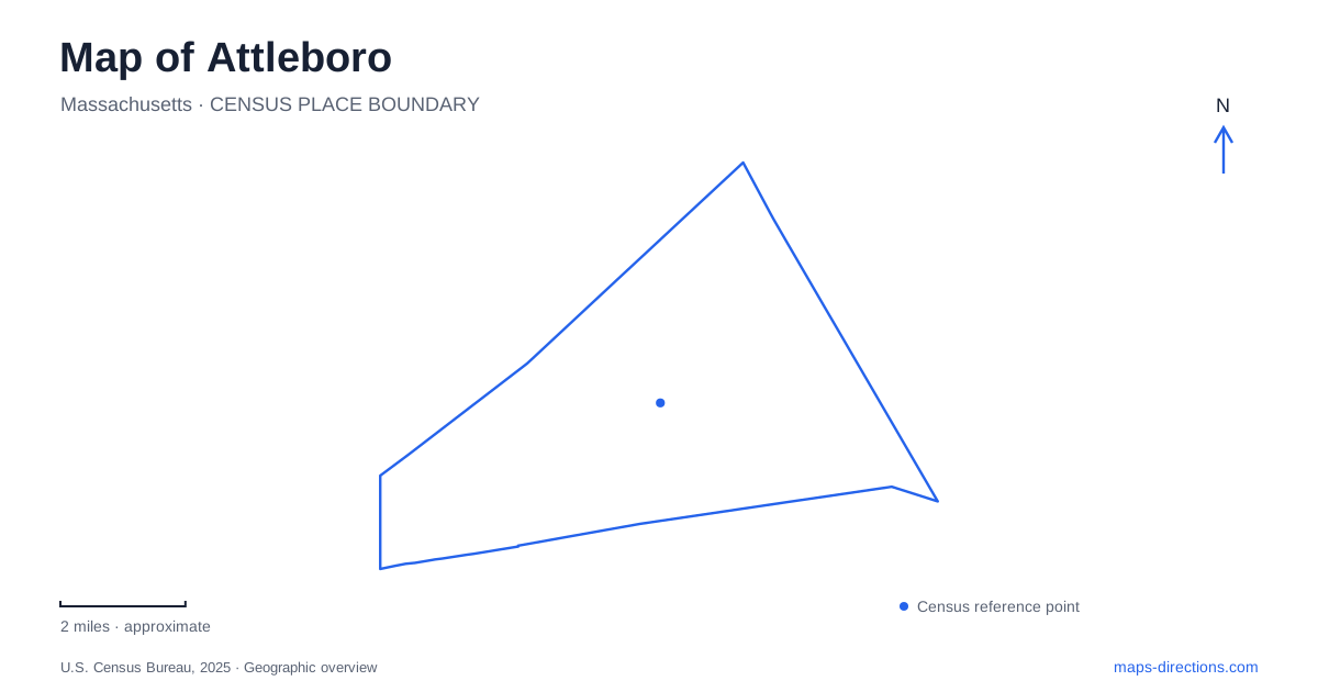
Street tiles load from OpenStreetMap when opened. The blue line shows the 2025 Census boundary.
- State
- Massachusetts
- Population · July 2025
- 47,447
- Land area
- 26.8 sq mi
- Water area
- 1.0 sq mi
Attleboro's downtown can be understood through three overlapping elements: the railway, the Ten Mile River and the streets serving civic and recreational destinations. The riverfront parks provide one kind of arrival point, while the intermodal transportation center provides another. County Street connects the names of two well-known parks without making them the same place. A useful local map retains those differences instead of dropping every downtown destination onto a single central pin.
Start with the transit hub's purpose
The city's downtown information identifies an intermodal transportation center combining commuter-rail access with GATRA bus connections. The rail service links the area with Boston and Providence, while local buses serve a different set of destinations within the city and surrounding communities. That makes the hub a transfer location rather than a guarantee that a particular attraction is immediately beside the platform.
For an Attleboro arrival by train, separate the rail journey from the final trip to the appointment or attraction. Check the relevant platform access and the onward walking or bus route. A broad transportation-center label may not identify the exact pickup location a driver expects. If arranging a meeting, share the side of the station and the intended public waiting point rather than assuming that everyone will approach from the same direction.
Two County Street parks need different pins
The municipal parks inventory lists Lloyd G. Balfour Riverwalk Park at 25 County Street and Capron Park and Zoo at 199 County Street. These addresses are a simple but important distinction. A search that finds the right street can still locate the wrong park. Keep the complete park name when comparing a riverfront walk with a zoo visit or an event at Capron.
Balfour Riverwalk Park is associated with the downtown Ten Mile River setting. Capron has a different collection of grounds and facilities, including the zoo. Do not infer zoo admission or access arrangements from general information about the surrounding park. For a zoo visit, consult the zoo's own visitor information; for an outdoor concert or gathering, retain the specific event location. The shared County Street reference helps with orientation, but it does not settle those separate visitor questions.
The riverfront has several named places
A map of Attleboro may show more than one riverwalk or riverfront label. The city inventory includes Judith H. Robbins Riverfront Park on Riverfront Drive and the Kevin J. Dumas Ten Mile River Walkway at Riverfront Drive and Wall Street. These names distinguish locations within a broader river setting. They should not be silently replaced by the Balfour park address merely because all involve water or walking.
For a group outing, agree on the named park and the street reference before choosing a route. A river line tells you how the waterway runs through the area, but it does not prove a continuous public path along every section of bank. Inspect the intended walking route and its street crossings rather than tracing an imagined path directly beside the river. That is particularly useful when combining a rail arrival with a short downtown walk.
Civic destinations have their own street anchors
Attleboro City Hall is listed at 77 Park Street, while the public library is at 74 North Main Street. These are useful civic references, but their similar-looking address numbers are not a reason to shorten directions. Preserve both the street name and its directional prefix. “74 Main” loses information that the full North Main Street address supplies.
The parks inventory also places Cyril M. Angell Park at Park and Emory streets and Veterans Memorial Common on Park Street. This helps explain why “Park Street” can refer to several civic or open-space destinations. Enter the building or park you actually intend to reach. A meeting notice may include an organization address in its footer that differs from the location of the meeting itself.
Development maps are not arrival instructions
The city's redevelopment material describes land near the commuter-rail station intended for transit-oriented development. Such documents are useful for understanding why the station area appears in discussions of new housing, retail and public-space improvements. They do not establish that every planned building, parking layout or pedestrian connection is already present.
For an Attleboro visit, use current venue information to resolve arrival details, then use the broader map to understand the relationship among the station, County Street and the riverfront. This keeps the purpose of each map clear: the citywide view locates the area, the street view distinguishes the destination, and the facility or transit information resolves the last portion of the journey.
Map and statistics: U.S. Census Bureau, 2025 Gazetteer, January 2025 generalized place boundaries and Vintage 2025 population estimates. Local references: City of Attleboro. Article prepared by Maps & Directions.