Map of Asheville
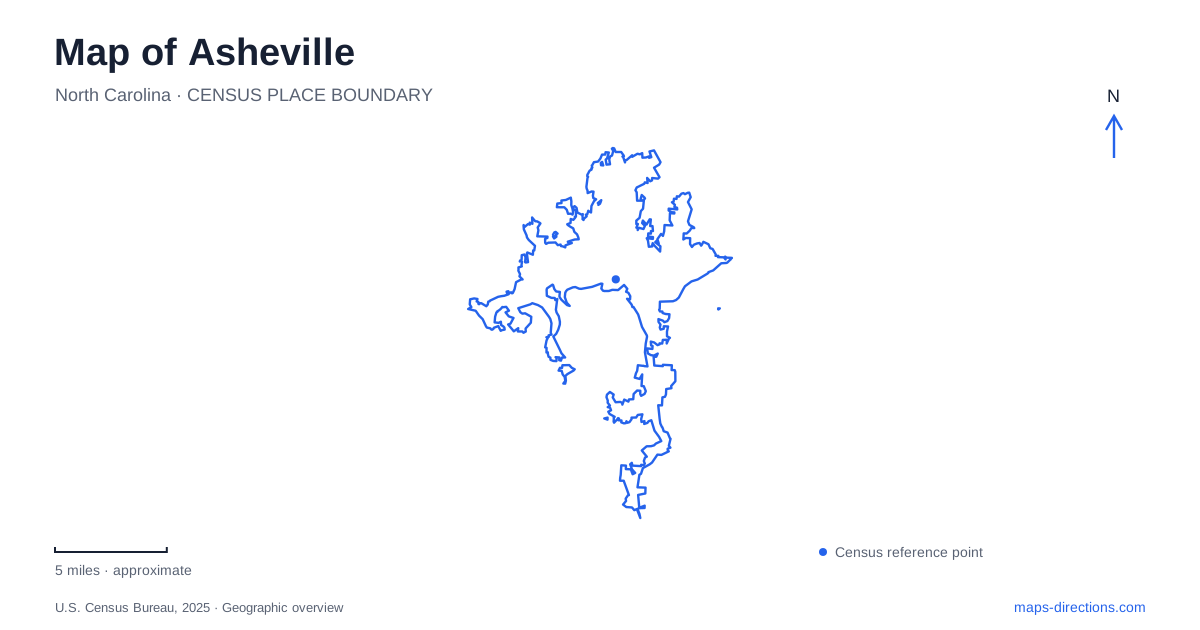
Street tiles load from OpenStreetMap when opened. The blue line shows the 2025 Census boundary.
- State
- North Carolina
- Population · July 2025
- 93,523
- Land area
- 45.5 sq mi
- Water area
- 0.4 sq mi
A map of Asheville brings together a civic center shaped by early transport routes, an industrial riverfront turned arts district, and an estate whose grounds extend far beyond its famous house. These places tell different parts of the same regional story. Pack Square provides a useful starting point: its public spaces connect downtown architecture with streets that once carried older names, while the French Broad River gives the western arts corridors their organizing line.
Reading the square through its buildings
Pack Square's history is visible in the arrangement of its landmarks. George Pack donated land on College Street for a courthouse, and the courthouse relocation in 1903 helped turn Court Square into Pack Square. The park's current name became official in 2010, but its civic role is much older. At the eastern end, two buildings completed in 1928 make a striking architectural pair: the neoclassical Buncombe County Courthouse and Douglas Ellington's Art Deco City Hall.
Street labels also preserve a useful historical distinction. Biltmore Avenue and Broadway were South Main and North Main until 1914. Looking along that axis helps connect the modern downtown map with descriptions in older photographs and histories. The Crossroads station on the local sculpture trail recalls Indigenous travel, drovers, rail travel, and streetcars. The square is therefore more than a collection of public buildings; it marks a long history of movement through the mountains.
The Asheville Urban Trail interprets that history through 30 sculptural stations. Its opening marker, Walk Into History, stands in front of the art museum at the western end of Pack Square Park. Following the numbered artwork creates a different kind of downtown route from simply walking between shops: individual street corners become evidence of the people and trades that shaped the city.
The Block and the streets south of the square
South Market Street belongs to a cultural geography that deserves its own attention. The city's Boosting the Block project identifies it as a cultural corridor, with work focused on the Eagle and Market street area. This gives a reader a more precise framework than treating every downtown block as interchangeable. Public investment here concerns the character and continuity of a particular neighborhood, alongside the larger civic spaces nearby.
Project drawings document the corridor's planning history rather than its day-to-day visitor arrangements. Proposed enhancements should therefore be distinguished from completed streetscape features. A historical walk through Asheville can connect this corridor with the square, but the interpretation changes from monumental government architecture to neighborhood cultural space. Keeping both in view produces a fuller account of downtown than concentrating on its most photographed skyline.
Following the French Broad
The River Arts District follows the east side of the French Broad. Riverside Drive and Lyman Street help establish its river-facing orientation, while Roberts Street, Depot Street, Clingman Avenue, and Artful Way identify additional studio corridors. The district spreads across these streets rather than occupying a single enclosed arts complex.
The Wilma Dykeman Greenway runs between the Amboy Road–Lyman Street and Hill Street–Riverside Drive intersections. Sidewalks on the Craven Street and Amboy Road bridges connect it with the greenway on the opposite bank. That two-bank arrangement matters: a riverfront walk can involve a bridge connection rather than simply continuing along one shore.
Recovery from Tropical Storm Helene remains part of Asheville's riverfront story. The greenway's access points, including the parking area at 8 River Arts Place, should be checked against the city's visitor guidance after storms or repair work. The underlying corridor is clear on the map, but an older studio guide or trail drawing should not be read as proof that every access point has reopened.
Village streets and an estate landscape
Historic Biltmore Village has its own small-street geography, including Biltmore Plaza, Kitchin Place, Swan Street, and Boston Way. Recovery planning after Helene has addressed its brick sidewalks, granite curbs, and street trees. Brick paths, curbs and planting are distinct parts of that recovery landscape, and their mapped positions do not establish the condition of each pedestrian approach.
The estate beyond the village uses 1 Lodge Street as its main visitor entrance. Within its 8,000 acres, the house and gardens, Antler Hill Village and Winery, and Deerpark form separate visitor areas. House parking includes walking lots and shuttle lots; Antler Hill has separate parking. A timed house reservation refers to entry into the house, not arrival at the estate gate.
For an Asheville itinerary, this is a substantial change of scale. Downtown sculpture stations occupy street corners, the arts district follows river corridors, and the estate distributes destinations across a broad designed landscape. Allowing each area its own map view makes those different settings easier to understand.
Map and statistics: U.S. Census Bureau, 2025 Gazetteer, January 2025 generalized place boundaries and Vintage 2025 population estimates. Local references: City of Asheville; Explore Asheville; Biltmore. Article prepared by Maps & Directions.