Map of Arvada
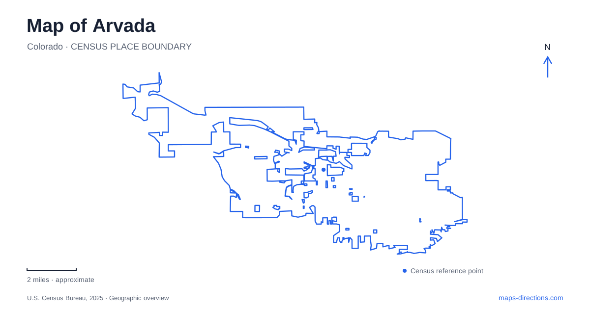
Street tiles load from OpenStreetMap when opened. The blue line shows the 2025 Census boundary.
- State
- Colorado
- Population · July 2025
- 122,901
- Land area
- 39.0 sq mi
- Water area
- 0.7 sq mi
Arvada combines a historic commercial district with creek corridors, cultural facilities, and protected urban habitat. The most useful map begins by distinguishing Olde Town from the larger area served by Wadsworth Boulevard. Grandview Avenue helps locate the downtown rail-and-parking hub, while Garrison Street and West 80th Avenue identify different nature destinations. These are separate local settings, and each becomes easier to understand when its street reference is retained alongside its familiar name.
Olde Town and the G Line
Olde Town Arvada is a pedestrian-oriented district of shops, restaurants, galleries, and historic buildings. The tourism office identifies the Olde Town Hub at 7510 Grandview Avenue, where parking serves both visitors and rail passengers. This gives a central outing a specific arrival reference rather than a broad downtown marker.
The G Line connects the district with Denver Union Station and continues toward Wheat Ridge. It is an electric commuter-rail route, and the Olde Town stop is only one of several stations along it. A visitor whose destination is the historic shopping district should match the station name to that district rather than choosing another stop simply because it appears in the same municipality.
The tourism office also provides a historic walking tour featuring ten buildings and landmarks. That format reflects the area's compact structure: individual places can be interpreted together along the streets. The rail hub, historic buildings, and commercial frontage therefore form a coherent downtown geography, even though each serves a different purpose. Grandview Avenue is a useful reference for understanding the transition from regional travel to a local walk.
The arts center on Wadsworth Boulevard
The Arvada Center for the Arts and Humanities is at 6901 Wadsworth Boulevard. Its visitor directions specify entering from Wadsworth north of 68th Avenue and following the drive toward the west side of the building. That location is separate from Olde Town's galleries and shops, even though both settings offer cultural activities.
The center combines theater, exhibitions, classes, and live music. This makes it a cultural campus rather than a single downtown storefront. The distinction matters when pairing an afternoon walk with an evening performance: the event venue's address determines the next part of the trip, not the general assumption that arts activities are concentrated within the historic district.
Wadsworth Boulevard supplies the broader corridor, while the approach north of 68th Avenue identifies the venue's local access. Keeping both in view creates a clear relationship between the major road and the building. It also helps distinguish the center from a similarly described event or gallery within the Olde Town street network.
Ralston Creek and the meeting of waterways
The Ralston Creek Trail introduces another organizing line. The tourism office identifies the Spar Bridge at Gold Strike Park near the meeting of Ralston Creek and Clear Creek, with the trail extending west from that setting. The confluence is a useful geographic anchor because it explains why multiple water and trail corridors come together there.
This gives the Arvada map a structure that is different from the rail line or a commercial street. A creek trail follows drainage geography and links outdoor spaces; it is not simply a sidewalk beside the principal shopping route. Reading the creek names makes trail descriptions easier to interpret, particularly where a route reaches the meeting of waterways and other paths.
The bridge and confluence also provide a recognizable point from which to understand a larger outing. Rather than beginning with an unspecified citywide trail search, a visitor can identify the watercourse and the section of interest. The local geography then explains the route's direction and its relationship to neighboring open space.
Oberon Lake and Two Ponds
Majestic View Nature Center is at 7030 Garrison Street, beside an approximately eighty-acre park. The center includes exhibits and a water-conserving demonstration garden. Oberon Lake is a central landscape feature, with an interpretive trail and shorter paths forming part of the park's outdoor setting. The municipal description also identifies the Farmers Highline Canal as a nearby wildlife corridor.
The nature center's Garrison Street parking is distinct from the park approach near 72nd Avenue and Carr Street. This is a useful local distinction for someone choosing between a building program and a general park visit. Wetland restoration around Oberon Lake has affected trail circulation, so a complete loop should not be assumed solely from the outline of the park on a map.
Two Ponds National Wildlife Refuge is a separate destination at 9210 West 80th Avenue. Its prairie, woodland, and wetland habitats occupy about seventy-two acres within an urban setting. The refuge manages wildlife habitat rather than functioning as an ordinary recreation park, and restoration has also limited access to part of that site.
These places give Arvada a varied outdoor geography: a creek confluence, a lake-centered nature park, and a federal wildlife refuge. Their names, management purposes, and street approaches distinguish them from one another. Together with Olde Town and the arts center, they form a map of connected urban life and natural landscapes rather than a single cluster of interchangeable attractions.
Map and statistics: U.S. Census Bureau, 2025 Gazetteer, January 2025 generalized place boundaries and Vintage 2025 population estimates. Local references: Visit Arvada; RTD; Arvada Center; City of Arvada; U.S. Fish and Wildlife Service. Article prepared by Maps & Directions.