Map of Arlington
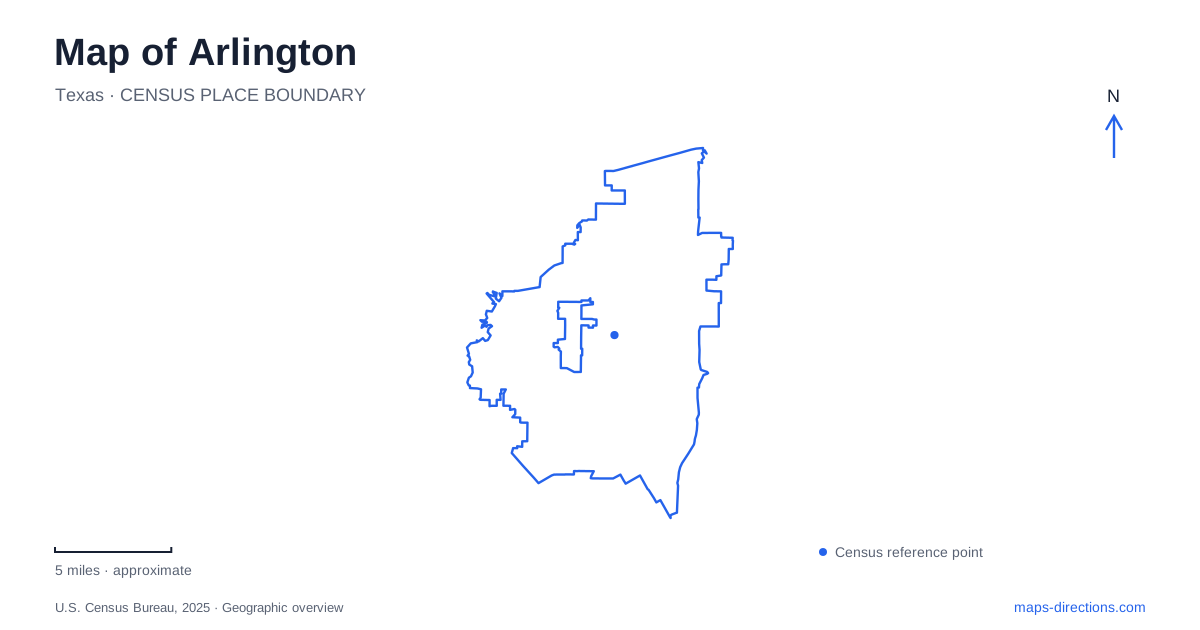
Street tiles load from OpenStreetMap when opened. The blue line shows the 2025 Census boundary.
- State
- Texas
- Population · July 2025
- 402,134
- Land area
- 95.8 sq mi
- Water area
- 3.6 sq mi
Arlington developed along routes connecting Dallas and Fort Worth, and that history remains visible in its central streets. Downtown, the university, the large entertainment venues, the Trinity River floodplain, and the western lake shore form distinct geographic concentrations. Abram and Division streets explain the older center, while Green Oaks Boulevard and the lakeside roads lead toward very different landscapes.
Abram and Division preserve the transport story
An electric interurban began operating along Abram Street in 1902, linking the community with both neighboring cities. Division Street later carried the former U.S. 80 corridor. These two streets preserve different chapters of east–west movement through the area: one associated with the trolley, the other with the highway.
Abram Street also concentrates civic and public destinations. The Levitt Pavilion, City Hall, Tarrant County Courthouse, and the northern edge of the university belong to this central setting. Their relationship gives downtown a recognizable civic and campus orientation rather than a layout organized solely around shops.
Center Street adds a north–south reference. The Music Hall at 224 North Center Street and public art near Division provide landmarks in the blocks north of Abram. Together, these streets create a useful framework for the older part of Arlington, where transport history, government, performance spaces, and local businesses occupy neighboring blocks.
The university forms a substantial downtown edge
UTA's Gateway Tower stands at UTA Boulevard and South Cooper Street. It marks a prominent campus approach, using brick and cast stone in a structure more than thirty-five feet high. Its position helps relate the university's internal spaces to a major street corridor.
College Park adds another focus through its events arena, shops, and residential setting. The Green at College Park contributes an open gathering space within that development. This mixture places campus life alongside activities that also draw people from the surrounding community.
The university's relationship to downtown is therefore more than proximity on a regional map. Its northern edge meets the central civic area, while College Park extends the range of uses found there. A closer map shows a sequence of public blocks, campus landmarks, and shared destinations instead of one isolated institutional parcel.
Large venues create another concentration
The Entertainment District includes AT&T Stadium, Globe Life Field, Texas Live!, Six Flags Over Texas, and Hurricane Harbor. These major sites explain why many visitor maps emphasize an area beyond the older downtown blocks.
The stadiums serve different sports: the Cowboys play at AT&T Stadium, and the Rangers play at Globe Life Field. The nearby amusement parks and entertainment spaces add uses with different operating calendars. This grouping can produce a very different pattern of arrivals from the everyday activity around Abram Street.
The contrast is visible in the map itself. Downtown is understood through named cross streets and neighboring buildings, while the venue district is organized around large sites. A trip involving both areas connects two important parts of the city rather than remaining within one compact center.
The Trinity River supports a forest landscape
River Legacy Park follows the Trinity River in northern Arlington, with an address at 701 Northwest Green Oaks Boulevard. Its hardwood floodplain forest supports walking, cycling, nature study, and quieter forms of recreation. The river's curves give the park its shape.
That floodplain is also dynamic. The city has realigned portions of the trail because migration of the river eroded the banks. This explains why the recreational network may change even though the surrounding streets remain familiar. Current park maps and repair notices are useful companions to a broader route plan.
The park belongs to a larger vision of connected green space across the metropolitan area. Its local paths therefore have both neighborhood and regional roles, linking a wooded river environment with nearby urban communities.
Western parks open onto the lake
Lake Arlington provides water supply as well as recreation. Richard Simpson Park at 6300 West Arkansas Lane and Bowman Springs Park at 7003 Poly Webb Road offer public access from separate points on its eastern side.
The designated paddling trail also includes Eugene McCray Park on Quail Road across the water. The city's route description connects Simpson to McCray and McCray to Bowman Springs; it does not describe a direct official trail segment between the two eastern parks. That detail gives the water route a specific shape rather than a simple shoreline loop.
These western parks complete a broader view of Arlington. Historic transport streets, the campus edge, large entertainment sites, a shifting river floodplain, and a managed lake all contribute to its layout. The map becomes more informative when those local relationships remain visible alongside the regional roads.
Map and statistics: U.S. Census Bureau, 2025 Gazetteer, January 2025 generalized place boundaries and Vintage 2025 population estimates. Local references: Downtown Arlington Management Corporation; University of Texas at Arlington; City of Arlington. Article prepared by Maps & Directions.