Map of Arkansas
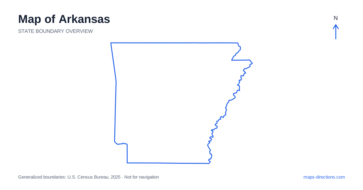
Arkansas has a strong geographical contrast between its western uplands and eastern lowlands. The Ozarks occupy much of the north, the Ouachita Mountains lie farther southwest, and the Delta stretches along the eastern side near the Mississippi River. Little Rock sits near the center of the state's main travel connections, making it a useful starting reference without being the only practical base. Understanding these broad regions helps explain why a road can be straight and open in one area, then winding and closely tied to valleys in another.
Use rivers to understand the outline
The eastern edge of Arkansas follows the Mississippi River, while the neighboring states of Missouri, Tennessee, Mississippi, Louisiana, Texas and Oklahoma establish its wider position. The river boundary is not a simple straight line. Its bends and adjacent lowlands can make a place appear close to the opposite bank without offering a nearby road crossing. Check the connecting bridge before comparing distances across the border.
Within the state, the river passing through Little Rock creates another useful orientation axis. North Little Rock is a separate city on the opposite side of that waterway, not just a vague description of the capital's northern neighborhoods. When arranging an arrival, use the full destination address and identify the relevant bridge. This is more reliable than choosing a stop solely because its label appears near the center of the metropolitan map.
Distinguish the Ozarks from the Ouachitas
The Ozark region includes plateaus, river valleys and rugged local terrain across the north. Places such as Harrison, Mountain Home and the Buffalo River area help locate different parts of this broad landscape. A statewide view can compress these destinations into one green-looking region, but the connections between them may involve winding roads and indirect crossings rather than a single fast corridor.
The Ouachita Mountains form a separate upland region farther south and west. Hot Springs and Mena are useful reference points, with different approaches from the central road network. Do not combine the two mountain regions simply because both offer forested scenery. Mark the transfer between them as a distinct stage, then consider which local roads or recreation entrances actually fit the available time.
Place the main cities along their corridors
A road map of Arkansas shows Interstate 40 running across the central part of the state, connecting the western border area with Little Rock and continuing toward the Mississippi River crossing near West Memphis. Interstate 30 provides a southwestern connection through the capital region toward Texarkana. These highways are useful for regional movement, but several important destinations sit away from their immediate paths.
The northwest urban corridor includes Fayetteville, Springdale, Rogers and Bentonville, connected by the Interstate 49 corridor. Treat this as a chain of communities with distinct arrival points rather than one compact city. Jonesboro lies in the northeast and belongs to another travel pattern. Before arranging meetings or overnight stops, compare the actual corridor each city occupies instead of assuming all northern destinations can be visited efficiently from the same base.
Read the Delta at a closer scale
The eastern lowlands have a different map pattern from the western hills. Agricultural fields, drainage channels and broad river landscapes often accompany longer, straighter roads. Towns such as Helena-West Helena and Lake Village help orient travel along the eastern and southeastern side. A simple-looking road grid can still be interrupted by waterways, embankments or roads that do not continue as expected.
Water features matter here even where elevation changes are small. A route alongside a river may not provide access to every riverside point, and a crossing shown on one road does not imply another crossing nearby. For an unfamiliar destination, confirm the last few turns and the exact entrance. This becomes especially useful for rural addresses that are more precisely described by a road name than by the nearest town label.
Make lakeside plans specific
Many trips through Arkansas involve reservoirs, rivers or recreation areas, but a large water feature is not a single destination. A lodging address near Lake Ouachita, for example, may be on a different arm or shore from the boat ramp or trail access you intend to use. Draw those points separately and follow the roads around the shoreline before deciding whether they belong in the same day's plan.
The same principle applies to river access in the northern uplands. An access point upstream may have a completely different road approach from one downstream. Do not use the center of a park or waterbody as the arrival pin. Identify the named access area and understand whether the journey returns by the same road or requires a separate transfer between two endpoints.
Combine regions without unnecessary backtracking
A northwest city visit, an Ozark river trip, a central capital stay and a Delta journey each have a distinct geographical focus. Selecting one focus first makes the itinerary easier to understand. Additional regions can then be added in an order that follows the main corridors instead of repeatedly returning to a central hotel simply because it looked centrally placed on the outline.
For an Arkansas route, keep two views available: the broader state map for sequencing regions and a local view for the final approach. Note bridges, reservoir shores and the transition from freeway to smaller roads. A map provides the shape of the journey, while a realistic schedule leaves room for the slower local segments that are easy to overlook when the whole state fits on one screen.