Map of Arizona
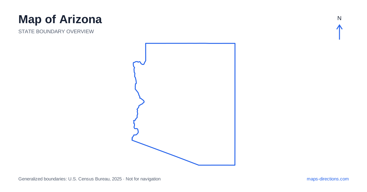
Arizona combines broad desert basins with elevated plateaus, forested high country and deeply cut canyons. A map that shows only city labels can make these landscapes look more similar than they are. Phoenix anchors the central-southern urban area, Tucson lies farther southeast, and Flagstaff is a key reference point in the northern highlands. The contrast between those regions is more useful for planning than an assumption that every journey takes place on flat, hot desert roads. Terrain, crossings and the direction of the major highways explain the practical connections.
Locate the borders and the main landforms
Arizona meets California and Nevada on the west, Utah to the north, New Mexico to the east and Mexico along its southern boundary. At Four Corners, the northeastern corner also meets Colorado at a single point. That corner is a geographic landmark, not a shortcut connecting every part of the surrounding road system. A route still needs to follow an actual highway and a permitted access road.
Much of the western boundary follows the Colorado River. The river is both an orientation feature and a barrier, with road crossings concentrated at particular locations. When comparing a destination near the water with one across the state line, locate the bridge first. A small gap on the map may require a much longer journey along the river corridor before it can be crossed.
Separate the metropolitan areas from the open desert
Greater Phoenix spreads across the Salt River Valley and includes several large neighboring cities. Scottsdale, Tempe, Mesa and Glendale are parts of the wider metropolitan geography, but they are not interchangeable destination labels. An address described simply as being in the Phoenix area can be on a very different side of the urban network from an airport, trailhead or meeting point.
Tucson occupies a separate basin farther southeast and is surrounded by mountain ranges that help define its local landscape. Its relationship to nearby destinations should be read at a regional scale instead of as an outer suburb of the capital. Between metropolitan areas, long open stretches can make distances look deceptively simple. Identify the actual junction and exit serving a stop rather than assuming that every visible road offers an equivalent approach.
Trace the principal highway corridors
On a road map of Arizona, Interstate 10 connects the western desert with Phoenix and continues southeast through Tucson. Interstate 17 leads north from the capital toward Flagstaff, where Interstate 40 forms the principal east-to-west corridor across the northern part of the state. These routes establish a useful framework, but they do not pass directly through every well-known scenic destination.
Sedona, for example, requires attention to the local approach and its surrounding canyon country. The road experience north of the city differs from the freeway corridor nearby. Before combining a scenic drive with a long transfer, distinguish the time spent reaching the scenic section from the time spent on it. A highway overview is useful for selecting the broad connection; a closer view is needed for the final route through town and into the landscape.
Read canyon access by entrance and rim
The Grand Canyon is one of the clearest examples of why straight-line distance can mislead. Opposite sides of the canyon may appear close on an overview while being separated by an immense landform. The North Rim and South Rim should be treated as separate arrival areas, not neighboring viewpoints connected by an ordinary local road across the canyon.
Choose the intended entrance or visitor area before asking for a route. The same care applies around Page, Lake Powell and other canyon-country destinations, where water, cliffs and access arrangements can separate nearby points. A label on the map identifies a feature; it does not guarantee public access at every edge of that feature. In areas that include tribal lands, follow the specific access arrangements for the destination rather than interpreting an unmarked road as an invitation.
Notice elevation before making weather assumptions
Arizona's northern plateau and mountain areas sit in a different environment from the lower desert. Flagstaff and the surrounding high country can have conditions unlike those in Phoenix on the same day. A winter journey northward may therefore involve more than a change of scenery, while a summer trip into lower elevations needs its own practical preparation.
A terrain layer helps reveal this transition, particularly where roads climb from a basin toward a plateau. Use elevation as context for the route, not as a substitute for a current forecast or road report. Likewise, an unpaved line across open land should not be assumed suitable for a passenger car. The fact that a road connects two points geometrically does not establish its surface, maintenance or availability for your intended vehicle.
Organize a route around distinct regions
A central-city visit, a southern desert trip and a northern canyon itinerary each form a coherent starting point. Combining them can work, but every transition should be visible in the plan. For example, a Phoenix base does not make all northern attractions local excursions, and a northern highway stop does not place you automatically at a canyon entrance. Group nearby stops by their actual access roads.
When using a map of Arizona, mark the overnight location and the next day's first destination before adding optional detours. Check which side of a mountain, river or canyon each point occupies. Keep a detailed arrival view for parking areas and visitor entrances alongside the regional overview. This two-scale approach makes the map useful both for understanding the state and for avoiding unnecessary backtracking during a specific journey.