Map of Appleton
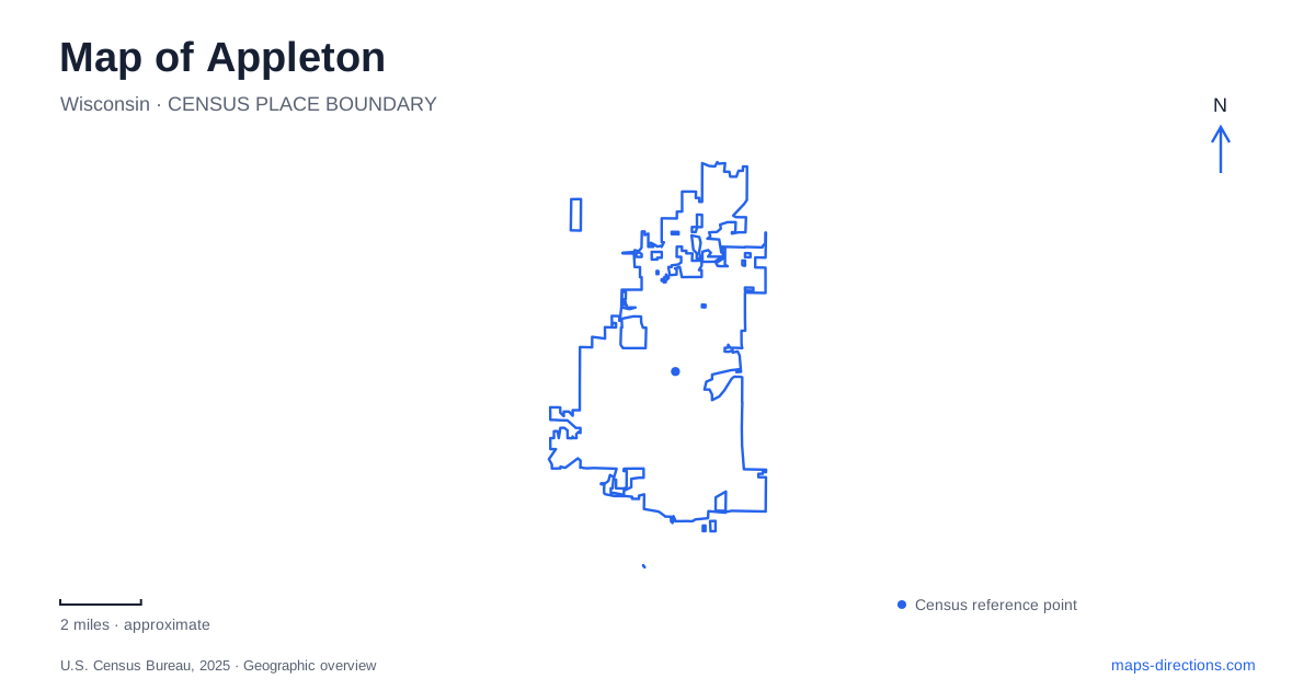
Street tiles load from OpenStreetMap when opened. The blue line shows the 2025 Census boundary.
- State
- Wisconsin
- Population · July 2025
- 75,452
- Land area
- 25.4 sq mi
- Water area
- 0.5 sq mi
Appleton can be read through two strong geographical lines: College Avenue, with its downtown and university destinations, and the Fox River, with its industrial history, crossings, and recreation spaces. They belong to the same city but offer different ways to move through it. College Avenue connects cultural buildings along a recognizable street, while the river requires attention to banks, bridges, and the places where paths reach the water.
College Avenue and the university edge
Lawrence University's main campus meets downtown along the Fox River. Its destinations spread between College Avenue and streets nearer the water, creating a transition from commercial blocks to academic grounds. Memorial Chapel stands at 510 East College Avenue, the admissions office at 757 East College Avenue, and Warch Campus Center at 711 East Boldt Way. These addresses describe separate buildings within a connected campus landscape, each with a different public role.
The university's athletic geography extends across the river. Directions to Alexander Gym lead east along College Avenue, across the bridge, then through John Street to East South River Street. The gym's address is 110 East South River. Banta Bowl is another destination at 1201 East John Street. For someone unfamiliar with Appleton, this is a useful distinction: the campus identity crosses the river, so a university event does not necessarily take place beside the main academic lawns.
History and performance on the same downtown street
The History Museum at the Castle occupies 330 East College Avenue. Its exhibits cover the city and the wider Fox Cities, including an interactive presentation about Harry Houdini. The institution also interprets neighborhood and industrial history through walking tours, extending its subject matter beyond the museum walls. A visit can therefore provide context for buildings and streets encountered afterward, rather than functioning only as an indoor stop.
Houdini's local associations are best understood as part of that broader historical work. The museum's walking-tour description explicitly distinguishes the reality of his childhood here from stories about fictional magical feats. That is a useful editorial clue for reading any heritage map: a famous person's name can attract attention, but the documented sites and their actual histories are what make a route informative. College Avenue provides the museum's fixed starting point for exploring these different layers.
A house linked to the power of the river
Hearthstone Historic House Museum, at 625 West Prospect Avenue, connects domestic architecture with the industrial development of Appleton. The Queen Anne house belonged to Henry and Cremora Rogers. In September 1882, an Edison dynamo driven by river power supplied electric lighting to the home and two mills. The house makes the consequences of industrial innovation tangible at a household scale: a river-powered system changed how an interior could be illuminated.
The museum connects Rogers' work with the paper industry and the management of waterpower on the Fox. This relationship helps explain why the river should remain visible on a historical map even when the immediate destination is a residence. The home, mills, dams, and electrical equipment were parts of an interconnected system, rather than unrelated landmarks that happened to occupy the same town.
A replica that tells a separate story
The Vulcan Replica stands on North Island, historically called Grand Chute Island, reached by the bridge south from the foot of Lawe Street hill. The local historical society explains that the replica was built in 1932 to mark fifty years of hydroelectric power. It is therefore a commemorative structure with its own history, not the original generating station preserved unchanged in place.
The original station operated within the paper mill and later in an exterior addition where water flow could be controlled more effectively. The replica and Hearthstone preserve different aspects of Appleton's electrical heritage: one interprets generation, the other shows a notable early recipient of the power. Keeping their locations and functions distinct turns a general claim about early electricity into a more precise geographical story.
Recreation along the Fox
Telulah Park lies south of the river on the east side of town, with its visitor address on East Newberry Street. It combines sports and outdoor recreation, including disc golf, a skate park, picnic pavilions, fishing access, and connections toward the Newberry Trail. The city's park inventory places it across the river from Peabody Park. Nearby green areas on opposite banks consequently belong to the same river landscape without being one continuous lawn.
This is another way to understand Appleton's relationship with the Fox: water that powered industry also organizes present-day recreation. A downtown museum visit, a campus performance, an electrical-history outing, and a riverside walk can all form coherent routes, provided the map keeps the bridges and the different banks in view. The river supplies the common thread while each destination contributes its own physical setting and purpose.
Map and statistics: U.S. Census Bureau, 2025 Gazetteer, January 2025 generalized place boundaries and Vintage 2025 population estimates. Local references: Lawrence University; History Museum at the Castle; Hearthstone Historic House Museum; Appleton Historical Society; Fox Cities Convention and Visitors Bureau; City of Appleton. Article prepared by Maps & Directions.