Map of Apple Valley
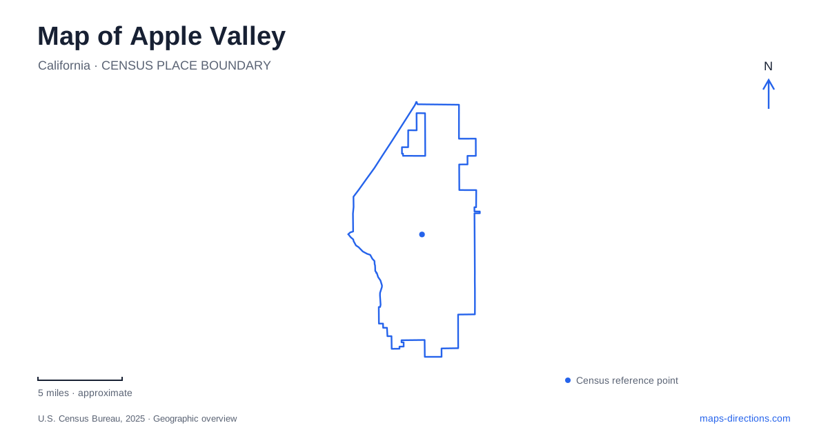
Street tiles load from OpenStreetMap when opened. The blue line shows the 2025 Census boundary.
- State
- California
- Population · July 2025
- 75,247
- Land area
- 77.0 sq mi
- Water area
- 0.1 sq mi
Apple Valley's present-day landscape combines a broad desert setting with several generations of settlement and recreation. Highway 18 carries much of the historical story, while Dale Evans Parkway identifies the civic campus and other roads lead to parks, a museum, and equestrian facilities. The town's name can suggest orchards, but its useful map landmarks are now more varied: rock formations, public lawns, historical highway properties, and institutions interpreting the High Desert.
Orchards, ranches, and a planned resort community
The town's own history records several explanations for its name rather than presenting one uncontested origin. Apple orchards were productive during the 1920s, but the cost of pumping water and the Depression contributed to their decline in the following decade. That history is a reminder that the modern desert landscape and the agricultural associations of the name are not contradictory; they reflect changing economics and ways of using limited water.
A later phase began when Newton Bass and Bud Westlund established their land company in 1946. They promoted the area as a residential and resort community, building an inn and other landmarks that attracted visitors. Guest ranches and a marketed western lifestyle helped shape the community's identity. Apple Valley became an incorporated town in 1988, long after these earlier agricultural and resort chapters had left their marks on the road network and local place names.
Highway 18 and the western-entertainment connection
Roy Rogers and Dale Evans are closely associated with the highway corridor. The town's historical account places their former home, the inn, and the first museum devoted to Rogers within a short stretch of Highway 18. Rogers leased the inn in 1964, and the original museum opened in 1967. These are historical relationships between properties, rather than a claim that all the original visitor attractions still operate in their former roles.
The highway received the Happy Trails designation in 1994 in recognition of the couple. Dale Evans Parkway provides another visible reminder in the modern street map. These names link the town's resort-era reputation with the later civic landscape, but the named road and the historical highway properties occupy different locations. The distinction helps when reading older accounts that use a former attraction as a reference point for a place that has since changed function.
A landscaped center on Dale Evans Parkway
Civic Center Park, at 14999 Dale Evans Parkway, offers a concentrated public recreation space within Apple Valley. Its twenty-two landscaped acres include an amphitheater, aquatic center, playground, large shade pavilion, and outdoor fitness equipment. More than a mile of sidewalk gives the park a defined walking environment, with shade trees and facilities arranged around public activity areas.
The dog park occupies the eastern edge, across the sidewalk from the large pavilion, and is divided into separate fenced sections by dog size. This is a deliberately developed civic park, where paths and program spaces are part of a planned whole. Its physical character differs substantially from the more rugged grounds along Highway 18, despite both being listed within the same municipal recreation system.
Rock formations and riding arenas
The Horseman's Center at 24320 Highway 18 places recreation among conspicuous rock formations. The town describes an eighty-acre park with two horse-show arenas, a BMX facility, perimeter hiking trails, picnic areas, a playground, and a small group of primitive campsites. Equestrian uses are central to its identity, but the grounds also accommodate activities that do not involve horses.
This combination explains why the site deserves more than an arena symbol on a map. Developed riding and cycling spaces sit within a broader rocky park landscape, with perimeter routes offering a different pace of exploration. It also preserves a practical connection to the western recreation traditions that helped define the town's twentieth-century image. The setting is outdoor and expansive, rather than a conventional sports building within the civic campus.
A museum for the wider High Desert
The Victor Valley Museum is on Apple Valley Road at number 11873. Its name describes a regional scope: geological and paleontological specimens, Native American artifacts, and historical objects relate to the High Desert beyond the immediate town. Founded in 1976 in the Victorville courthouse, it moved to its present location in 1992 and later became a branch of the county museum system.
That institutional history makes the museum a useful starting point for interpreting Apple Valley's surroundings. Rock formations seen from park paths, stories of earlier settlement, and the changes from agricultural land to resort development belong to a larger regional landscape. The museum, highway landmarks, civic grounds, and equestrian park each illuminate a different part of it, giving a spread-out street map several clear and meaningful destinations.
Map and statistics: U.S. Census Bureau, 2025 Gazetteer, January 2025 generalized place boundaries and Vintage 2025 population estimates. Local references: Town of Apple Valley; San Bernardino County Museum. Article prepared by Maps & Directions.