Map of Apex
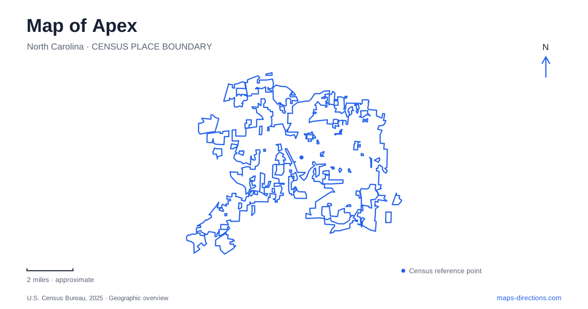
Street tiles load from OpenStreetMap when opened. The blue line shows the 2025 Census boundary.
- State
- North Carolina
- Population · July 2025
- 80,419
- Land area
- 27.2 sq mi
- Water area
- 0.1 sq mi
Apex's historic center and its outdoor destinations are organized around different road networks. Salem Street anchors the downtown landmarks, Laura Duncan Road and Lake Pine Drive approach a community lake, and Evans Road serves a large park with two distinct sections. Beyond those municipal destinations, Jordan Lake introduces a regional reservoir landscape. Keeping the streets and park names together gives each part of a visit a clear geographic setting.
Two historic buildings on North Salem Street
The town identifies the 1914 Apex Union Depot at 220 North Salem Street and the 1911–12 Old Town Hall at 237 North Salem Street. The latter address now houses the Halle Cultural Arts Center, with galleries, a theater, and a studio classroom. These two buildings establish a compact historical reference along the same downtown street.
Their uses explain two layers of the town center. The depot recalls the railway setting, while the former town hall continues to host public cultural activity. A walk along this part of Salem Street can therefore connect the history of transportation with the history of civic life through surviving buildings.
The town's streetscape project identifies the section of Salem Street between Saunders and Chatham streets. That named segment is useful for understanding the downtown core even as construction and circulation arrangements evolve. The depot and arts center remain specific destinations within a larger street corridor, rather than generic symbols for the entire town.
A lake between two park entrances
Apex Community Park occupies about 160 acres, including a lake of more than fifty acres. The town lists the main entrance at 2200 Laura Duncan Road and a lake-trail entrance at 1808 Lake Pine Drive. Those addresses approach different parts of the same property and make the park's position between the two roads easier to understand.
The facility combines athletic courts and fields with picnic areas, playgrounds, and developed nature and fitness trails. The lake supplies the large landscape feature around which a walking visit can be organized. The sports facilities give the park another role, so someone arriving for a game may choose a different part of the property from someone beginning a lakeside walk.
The entrance distinction is especially helpful for meeting arrangements. Naming Laura Duncan Road identifies the main park approach; naming Lake Pine Drive identifies the trail-side approach. Both are valid, and the choice depends on the intended facility or route within the park.
Two sections along Evans Road
Apex Nature Park and Seymour Athletic Fields form another large property, with parking at both entrances and a paved walkway linking the sections. The nature-park entrance is 2600 Evans Road, while the athletic-fields entrance is 2500 Evans Road.
The town groups the amphitheater, disc golf, environmental education stations, and larger picnic shelter with the nature-park section. The Seymour side contains courts, multipurpose fields, a playground, and a smaller shelter. This arrangement gives the two addresses a functional meaning: they identify different concentrations of activities within one connected landscape.
A detailed park map can then refine the visit without changing the broader destination. Evans Road remains the approach corridor, the two entrances locate the principal sections, and the connecting walkway explains how people move between them. The facility name is long because it covers both recreational settings.
Beaver Creek's existing route and longer ambition
The town describes Beaver Creek Greenway as a combination of asphalt, concrete, and boardwalk. Its published route information identifies the existing connection between Jaycee Park and Kelly Road Park, with parking at 451 NC Highway 55 and 1609 Kelly Road respectively.
The same page discusses further connections toward the nature park and eventually the American Tobacco Trail as development objectives. Those plans should be distinguished from the already described park-to-park segment. A regional greenway diagram may show the intended corridor, while the completed route determines the outing available from a particular trailhead.
A regional lake access on Beaver Creek Road
Ebenezer Church access at Jordan Lake State Recreation Area is at 2582 Beaver Creek Road in Chatham County. North Carolina State Parks identifies a swimming area, boat ramp, trails, and picnic facilities there. The access map separates Old Oak Trail, Ebenezer Church Trail, and their connector within the day-use area.
The repeated Beaver Creek name can be misleading without the full destination. The municipal greenway and Beaver Creek Road's reservoir access describe different outings. One connects town parks; the other reaches a large state-managed lake landscape.
Apex's map becomes clearer through these specific relationships: historic buildings along Salem Street, a community lake between two road approaches, paired park sections on Evans Road, a developing greenway corridor, and a named regional lake access. Each offers a distinct way to explore the area while retaining the precise location needed to begin.
Map and statistics: U.S. Census Bureau, 2025 Gazetteer, January 2025 generalized place boundaries and Vintage 2025 population estimates. Local references: Town of Apex; North Carolina State Parks. Article prepared by Maps & Directions.