Map of Apache Junction
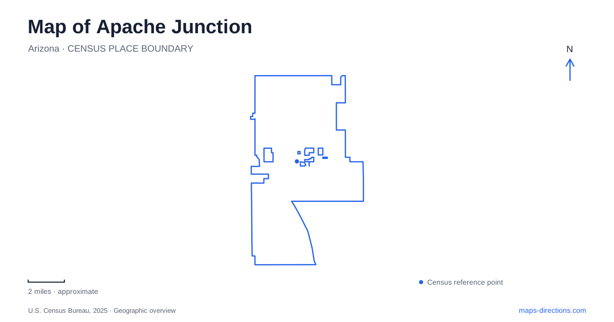
Street tiles load from OpenStreetMap when opened. The blue line shows the 2025 Census boundary.
- State
- Arizona
- Population · July 2025
- 45,672
- Land area
- 45.5 sq mi
- Water area
- 0.0 sq mi
Apache Junction’s map changes character as the developed street network meets the Superstition foothills. Apache Trail links local destinations with places associated with desert history, while Idaho Road provides a reference for community recreation. Farther into the open landscape, trails follow terrain that bears little resemblance to the town’s road grid. Reading these layers together helps distinguish a downtown visit, a sports outing, and a mountain hike before they become confused under the same regional landmark names.
Two very different meanings of Flatiron
Flatiron Community Park is a downtown gathering space at 100 North Apache Trail. The city developed it as part of its downtown revitalization efforts, giving residents and local businesses a place for events and recreation. Open green space and a splash pad are among its features. It belongs to the developed center, with a civic role quite different from a wilderness trailhead.
The Flatiron in the Superstition Mountains is a separate destination associated with the demanding upper route beyond Siphon Draw. The shared name is an especially important local map distinction. Searching for a community park should not produce a mountain itinerary, and a hiking plan needs more than the word “Flatiron” to establish its intended destination.
For a first look at Apache Junction, the downtown park offers a useful anchor along Apache Trail. Its location and purpose are specific: a public gathering area in the business district. Keeping the full park name visible avoids an ambiguity that is easy to miss when a map displays only shortened labels.
Idaho Road and everyday recreation
Prospector Park lies on Idaho Road north of Lost Dutchman Boulevard. Its facilities include soccer and softball fields, picnic ramadas, a playground, and several types of courts. This is a developed sports and recreation complex, despite a name that echoes the mining stories associated with the nearby mountains.
The Multi-Generational Center at 1035 North Idaho Road is another distinct community destination. The shared road gives these facilities a useful relationship on the map without making them parts of the same property. A game at Prospector Park and an indoor activity at the center require different endpoints along the corridor.
Apache Junction also has recreation farther south, including Superstition Shadows Park on West Southern Avenue. Its aquatic center and skatepark contrast with the field-and-court emphasis at Prospector. Together, these places show a daily community geography that extends beyond the scenic attractions most likely to appear in a regional visitor overview.
Apache Trail and the mountain museum
The Superstition Mountain Lost Dutchman Museum identifies its location as 4087 East Apache Trail, also designated State Route 88. The museum preserves and interprets stories of the surrounding region, including both documented history and legend. It offers a destination for understanding the area without treating every account of a lost mine as a verified historical fact.
On an Apache Junction map, the museum’s street address is more useful than a broad label for the Superstition Mountains. The mountain range is a landscape; the museum is a specific visitor site along a road. That difference matters when comparing an indoor or grounds-based visit with an outing that continues onto desert trails.
Lost Dutchman State Park occupies the Sonoran Desert at the base of the mountains, with routes extending toward adjoining national forest and wilderness land. Its trail map identifies the Native Plant route, Treasure Loop, Jacob’s Crosscut, Prospector’s View, and Siphon Draw. These are named route choices, not a single interchangeable mountain walk.
Desert trails require a terrain view
The lower park trails and the challenging ascent toward Flatiron differ substantially in character. A road map can identify the state park approach, but a trail map is needed to distinguish junctions and routes within the foothills. The park boundary also does not enclose every route that begins nearby; some paths continue into adjacent public land.
Silly Mountain Park provides another desert recreation setting near Highway 60 and Silly Mountain Road. The city describes several miles of trails there with varying difficulty. Its position and separate trail network make it a different outing from the Lost Dutchman routes, rather than a secondary entrance to the same mountain hike.
Read Apache Junction through these distinctions: downtown Flatiron Community Park, Idaho Road’s recreation facilities, the museum on Apache Trail, and separate desert trail systems. The names carry local history, but their locations and terrain determine what a visit actually involves.
Map and statistics: U.S. Census Bureau, 2025 Gazetteer, January 2025 generalized place boundaries and Vintage 2025 population estimates. Local references: City of Apache Junction; Superstition Mountain Lost Dutchman Museum; Arizona Office of Tourism; Arizona State Parks. Article prepared by Maps & Directions.