Map of Antioch
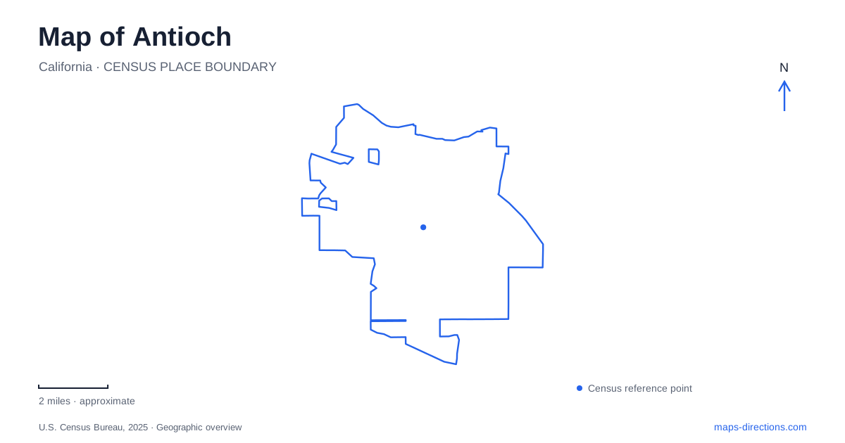
Street tiles load from OpenStreetMap when opened. The blue line shows the 2025 Census boundary.
- State
- California
- Population · July 2025
- 118,958
- Land area
- 29.2 sq mi
- Water area
- 0.8 sq mi
Antioch brings together a Delta waterfront, a regional rail terminus, and hills containing former mining settlements. Rivertown's lettered streets meet the water, while the park approaches farther inland follow roads such as Somersville, Golf Course, and Frederickson. The contrast is central to understanding the city: a waterfront afternoon and a hillside history walk explore different landscapes, even though both belong to the same local map. Highway 4 and the named approach roads help relate those landscapes to the developed neighborhoods between them.
Rivertown meets the Delta
The historic Rivertown area includes the Second Street blocks between E and I streets. City event information places Waldie Plaza and the City Hall surroundings within the nearby grid of Second, Third, G, and I streets. These short downtown blocks provide a useful frame for the older waterfront district.
The municipal marina lies at the foot of L Street, using the Marina Plaza address. The city describes it as a gateway to Delta destinations including Sherman Lake and Winter Island. This gives the downtown waterfront a regional role: the streets end at a boating landscape connected to waterways extending far beyond the city center.
A map of Antioch can therefore be read outward from Rivertown in two directions. Inland are the urban street blocks and civic spaces; outward from the marina are channels, islands, and water destinations. The lettered street grid and the marina's position at L Street connect those two scales without making the river itself an ordinary continuation of the road network.
The waterfront also contains protected habitat. The federal dunes refuge preserves a remnant of a riverine sand-dune ecosystem that once extended along this part of the Delta. It was established in 1980 to protect endangered plants and insects, including Lange's metalmark butterfly and the Contra Costa wallflower. The refuge is closed to general public access because of habitat sensitivity, so its presence on a map represents conservation land rather than an unrestricted waterfront park.
The rail terminus belongs to the Highway 4 corridor
Antioch station uses 1600 Slatten Ranch Road and has a bicycle and pedestrian connection to Hillcrest Avenue. Its location gives rail travelers a different arrival setting from the historic waterfront. The station is part of the eastern extension using diesel multiple-unit trains that connect with the main BART system.
BART identifies a transfer platform between Pittsburg/Bay Point and Pittsburg Center. Riders reach that platform by train and walk between services there; it is not a street-access station. This is a distinctive feature of the regional journey and explains why a rail itinerary can include a transfer point that does not function as a local pickup address.
The practical street references at the eastern end remain Slatten Ranch and Hillcrest. They place the terminal within the road corridor, while Rivertown's Second Street and marina references identify the older waterside destination separately.
Reservoir recreation and former mining country
Contra Loma Regional Park is reached at 1200 Frederickson Lane. The park district's approach from Highway 4 follows Lone Tree Way, Golf Course Road, and Frederickson. Its landscape includes a reservoir surrounded by recreation land, with trail connections into Black Diamond Mines Regional Preserve.
Those connections reveal how Antioch's reservoir setting relates to the larger hills. Contra Loma offers a water-centered destination, while Black Diamond extends into a landscape shaped by extraction, settlement, and later conservation. The preserve's Somersville Road entrance supplies another road approach to that terrain.
Five coal-mining towns once occupied the Black Diamond area: Nortonville, Somersville, Stewartville, West Hartley, and Judsonville. The park district describes their growth from the nineteenth-century coal industry and the later transition to sand mining near the abandoned Nortonville and Somersville sites. Sand served glass manufacture and foundry work, giving the same hills a second industrial use after coal declined.
Rose Hill Cemetery remains a visible historical place within the preserve, alongside former townsites and interpreted mine features. The landscape is therefore not simply undeveloped countryside. Its trails cross places where communities and industrial operations once existed, and the names on the map preserve evidence of those settlements.
Together, Rivertown, the rail corridor, Contra Loma, and the mining hills reveal several different Antioch stories. The waterfront connects to the Delta, the station connects to the wider transit network, and the hills connect present recreation with former working landscapes. Their distinct roads and landmarks make those relationships possible to follow on a single city map.
Map and statistics: U.S. Census Bureau, 2025 Gazetteer, January 2025 generalized place boundaries and Vintage 2025 population estimates. Local references: City of Antioch; U.S. Fish and Wildlife Service; BART; East Bay Regional Park District. Article prepared by Maps & Directions.