Map of Ann Arbor
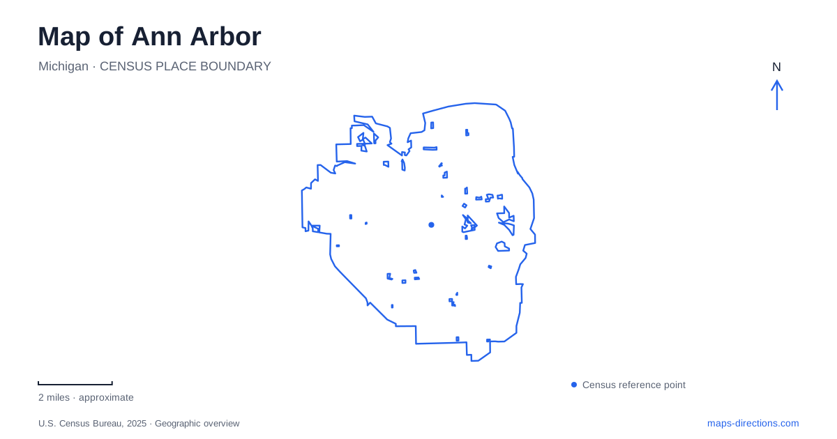
Street tiles load from OpenStreetMap when opened. The blue line shows the 2025 Census boundary.
- State
- Michigan
- Population · July 2025
- 122,233
- Land area
- 28.4 sq mi
- Water area
- 0.9 sq mi
Ann Arbor rewards a map that distinguishes university destinations from the neighborhoods and river landscapes around them. The University of Michigan is not one compact address: its own map separates Central, North, Medical, and Athletic campuses. Meanwhile, a market visit in Kerrytown and a paddling trip on the Huron follow different geographic patterns. Begin with the actual purpose of the visit, then identify the campus, district, or river facility that belongs to it. This avoids compressing a varied city into a single university marker.
Four campus labels, many urban destinations
The university's four campus categories are a practical starting point for an Ann Arbor visit involving appointments, events, or academic buildings. A reference to North Campus should remain distinct from Central Campus, and a hospital visit needs the Medical Campus context. The Athletic Campus category provides another separate reference for sports facilities. These labels are useful precisely because a university search without a building name can produce a result at the wrong scale.
Use the building name alongside the campus designation when comparing destinations. Two places associated with the same university may belong to different campus maps, whereas a restaurant or shop near an academic building may simply use its city street address. Keeping both kinds of information visible makes it easier to combine a university visit with ordinary errands without assuming that everything is organized around one central quadrangle.
Kerrytown provides a different kind of urban reference. The market and shops use 407 North Fifth Avenue, and the farmers market setting includes Detroit Street. Those two streets help locate this shopping area independently of campus labels. A trip centered on market buildings should therefore begin with the Kerrytown street pattern, rather than with the general downtown or university result.
Follow the Huron between Argo and Gallup
The Huron River gives an Ann Arbor map a second organizing line. Argo Livery is at 1055 Longshore Drive, within Argo Park and Nature Area. Gallup Livery uses 3000 Fuller Road farther downriver. The city offers river trips between these facilities, which makes their relationship especially important: a paddling itinerary can involve one place at the start and another at the finish.
Argo includes a dam and the Cascades, a bypass channel joining Argo Pond to the river through a sequence of small rapids, rock chutes, and pools. These are specific water features, not just decorative labels around a rental office. They explain why a river map may show different channels and why an outing at Argo is geographically different from spending time on Gallup Pond.
Gallup Park follows both the river and Geddes Pond. Walkways and pedestrian bridges link small islands, while the Border-to-Border Trail passes through the park. The city identifies connections toward Dixboro Road and Parker Mill to the east, and toward Fuller Park and Nichols Arboretum to the west. This wider context helps distinguish a short park visit from a longer journey through the river corridor.
Gallup's entrances also belong to more than one road. The main approach is off Fuller Road, with another parking area on Geddes Road. Because the park extends along the water, a single broad park label does not fully describe the relationship between those approaches and the paths. Select the side that fits the intended part of the park, then use the park map to understand the bridges and trail connections.
The Arb has a valley, a river edge, and several approaches
Nichols Arboretum adds a different landscape to Ann Arbor. The university describes its position between Geddes Avenue on the south and the Huron on the north, with the medical campus and Forest Hill Cemetery to the west. This framing is useful because it locates the Arb within the city rather than treating it as an isolated garden attraction.
The official visitor information identifies entrances at Washington Heights, Nichols Drive, and Geddes. Its map distinguishes the Main Valley, Dow Field, river landing, and garden areas. A walk through the Arb can therefore connect quite different settings within one property. The entrance choice influences which of those settings is encountered first.
For the peony garden, Washington Heights is the specific reference to retain. The university warns that navigation services may default to the ceremonial Geddes entrance, which involves a further walk to the garden. This is a concrete example of why a precise destination improves a map search in Ann Arbor. A general arboretum result may be perfectly real yet still be less useful for the particular feature being visited. The same principle applies across the city: preserve the campus, market street, river facility, or garden entrance that actually defines the trip.
Map and statistics: U.S. Census Bureau, 2025 Gazetteer, January 2025 generalized place boundaries and Vintage 2025 population estimates. Local references: University of Michigan; Kerrytown Market and Shops; City of Ann Arbor. Article prepared by Maps & Directions.