Map of Ankeny
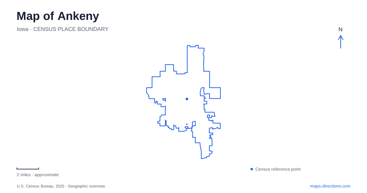
Street tiles load from OpenStreetMap when opened. The blue line shows the 2025 Census boundary.
- State
- Iowa
- Population · July 2025
- 77,833
- Land area
- 32.7 sq mi
- Water area
- 0.2 sq mi
Ankeny has more than one center of activity, and the trails help explain how they fit together. Uptown connects the older settlement with the High Trestle corridor, while Prairie Trail groups newer commercial, civic, and park destinations in the southwest. Prairie Ridge adds a large sports landscape farther north. Reading these names carefully is worthwhile: their similar wording can hide quite different locations, street patterns, and reasons for visiting.
Uptown and the railway beginning
The local historical society traces the original town to an 80-acre tract acquired in 1874 and platted the following year. A narrow-gauge railroad linked the area with Des Moines and Ames, later becoming part of the Chicago and North Western system. The railway helped give the settlement a role within a regional route rather than leaving it as an isolated collection of farms.
That history gives Uptown Ankeny a different character from the newer development districts. The historical society's museum at 301 Southwest Third Street provides a place to explore local photographs and artifacts, including material associated with the wartime ordnance plant. By 1942, the federal government had established ammunition manufacturing on land later occupied by the John Deere Des Moines Works and surrounding uses. This industrial chapter helps explain another major transformation beyond the original railroad town.
The historical society also records serious fires in the Uptown business area during the 1930s. The surviving district therefore represents rebuilding and changing uses as well as nineteenth-century origins. A historical map and a present-day walk tell complementary stories: one shows the early pattern, while the other reveals what endured or was replaced.
A trailhead that also serves the neighborhood
AMP, the market and pavilion grounds at 715 West First Street, is both a community gathering place and a High Trestle Trail access point. The 3.1-acre park contains two pavilions, open space, restrooms, and trailheads. Its farmers-market role means the site belongs to everyday neighborhood life as well as to cyclists beginning a regional ride.
The High Trestle Trail Experience Park extends that relationship along an urban stretch of the corridor. The city describes a 14-acre phased project from West First Street toward the boulevard underpass. Existing improvements include trees, native landscaping, stormwater features, and trail lighting. The Glow Trail, a 425-foot side path just east of Southwest Walnut Street, is already open; additional art and interactive elements belong to future phases.
This is a useful distinction when reading Ankeny's trail map. The local park experience is close to Uptown, while the celebrated High Trestle Trail bridge is near Madrid, farther along the regional network. A map label for the trail does not mean the large bridge is next to the pavilion. The corridor supports both short neighborhood outings and longer journeys, but those experiences start with different expectations about distance.
Prairie Trail's parks and civic address
Promenade Park forms part of the Prairie Trail development in the southwestern city. The parks plan places it near the northeast corner of Southwest State Street and Southwest Prairie Trail Parkway. Its paths circulate around the grounds and connect with The District, the nearby commercial and entertainment area.
The park's water features and landscaped spaces provide a setting between businesses and surrounding housing. This arrangement differs from Uptown's rail-corridor focus: public open space here is woven into a newer mixed-use development. Nearby parks and greenways identified in the city's plan include Chautauqua Park, Vintage Greenway, and Saylor Creek Greenway, giving the area connections beyond its shopping streets.
The Kirkendall Public Library at 1250 Southwest District Drive is an important civic landmark within this part of Ankeny. It supplies a precise destination for library programs and visits to the surrounding district. Pairing that address with Promenade Park and the neighboring street names makes the development easier to understand than using the broad Prairie Trail name for every stop.
Prairie Ridge and the wooded disc-golf park
Prairie Ridge Sports Complex serves a different purpose and location. The city's directions approach it from First Street by turning north on Ash Drive; parking areas can be entered from the east and north. The complex contains baseball, softball, soccer, and football fields, along with walking trails, play equipment, and two fishing ponds. Its large collection of numbered fields makes a team schedule and the internal field map especially useful.
Heritage Park at 300 Northeast Frisk Drive offers a contrasting recreation landscape. Its disc-golf course runs through gradual hills and wooded ground, mixing tighter holes with more open space. This is a smaller-scale setting than the broad sports turf at Prairie Ridge, with trees shaping how the course is experienced.
Together, these places show Ankeny through several connected but distinct patterns: a railroad-rooted Uptown, an expanding regional trail corridor, the civic and commercial spaces of Prairie Trail, and recreation grounds built for different activities. Those relationships make the map useful for understanding the city as well as reaching an individual address.
Map and statistics: U.S. Census Bureau, 2025 Gazetteer, January 2025 generalized place boundaries and Vintage 2025 population estimates. Local references: Ankeny Area Historical Society; City of Ankeny. Article prepared by Maps & Directions.