Map of Anderson
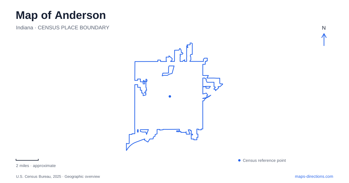
Street tiles load from OpenStreetMap when opened. The blue line shows the 2025 Census boundary.
- State
- Indiana
- Population · July 2025
- 56,153
- Land area
- 41.7 sq mi
- Water area
- 0.1 sq mi
Anderson's outdoor geography is organized by the White River, linked urban parks, and a separate group of ancient earthworks east of town. The riverwalk gives one way to move through the landscape, while Shadyside combines lakes, gardens, and recreation grounds. Rangeline Nature Preserve offers a more technical trail setting, and Mounds State Park adds an archaeological dimension beyond the central city. These are distinct destinations with different surfaces, histories, and approaches, even when a regional map gathers them under the same place-name.
Begin with the White River
The municipal White River Trail begins at the Grand Avenue bridge and follows the river's northeast bank. The city describes a 2.3-mile main riverwalk through natural and wetland areas. Grand Avenue is therefore a useful reference for choosing an initial river access point, while the watercourse explains why the route bends away from the simpler geometry of surrounding streets.
For an introduction to Anderson, this corridor reveals a landscape that a drive along the main roads can miss. Wetlands and river vegetation sit within the urban setting, supporting birdwatching and quieter movement beside the water. The trail connects the idea of the city to its riverbank rather than placing nature entirely outside the developed area. It also helps give nearby parks a shared geographic context.
A riverwalk outing can be modest in scale: select an access point, follow a section of the bank, and return along the same corridor. That is a different undertaking from crossing the wider park system or continuing toward a distant nature preserve. The bridge provides a clear beginning without requiring every nearby green space to be included in one trip.
Shadyside's gardens and lake loops
Shadyside Memorial Park is at 1112 Broadway Avenue. Its origins reach back to an 1897 private recreation park for employees of the Union Traction Company, an interurban railroad operator. The city acquired it in 1923 and opened it to the public with a dedication to Madison County war veterans. That history links a present-day park outing to the region's earlier transportation and working life.
The Terraced Gardens are another distinctive feature. They began as Japanese Gardens in the 1920s and later became part of a restored landscape that includes a botanical walk, amphitheater, and Veterans Commons. These formal elements give the memorial park a different character from a simple open playing field. Its connection to the recreation area and river trail allows a visit to move between landscaped grounds and water-centered paths.
The adjoining Shadyside Recreation Area contains two lakes encircled by paved trails. A covered bridge divides the routes into northern and southern loops. This arrangement gives Anderson walkers a choice of circuits without requiring a long point-to-point journey. The lake paths are also a useful contrast with the riverwalk: one follows contained water around a loop, while the other traces a flowing corridor through the city.
Rangeline's more demanding terrain
Rangeline Nature Preserve lies at 1200 South Rangeline Road. The city owns the 180-acre site, where local mountain biking volunteers helped develop a trail network. Three loops are designated novice, intermediate, and expert. The progression is meaningful: the easier route flows more smoothly, while the advanced setting includes narrow passages and constructed or natural obstacles.
This is the part of Anderson's recreation map where a trail's difficulty label should drive the choice of route. A line through woodland may look similar to a park path on a general map, but the preserve's technical singletrack has a different purpose. Bridges, log crossings, and elevated features contribute to that distinction. Directional arrows establish one-way riding, making the preserve's own trail signs essential to understanding how the loops work on the ground.
Ancient earthworks east of the city
Mounds State Park is at 4306 Mounds Road, east of town. Indiana's natural resources department identifies ten earthworks associated with Adena-Hopewell peoples, with the Great Mound believed to date to around 160 BCE. Archaeological interpretation connects the complex with ceremonies and astronomical observation. The earthworks should therefore be approached as cultural places with deliberate forms and relationships, rather than as ordinary hills in a wooded park.
Trail 1 visits four earthworks, including the Great Mound, and also identifies common Indiana trees. Other routes descend toward spring-fed creeks, limestone bluffs, and the White River. The park combines archaeological interpretation with terrain that can be considerably steeper than the paved lake loops at Shadyside.
A map of Anderson becomes more useful when these differences stay visible. Grand Avenue locates the riverwalk, Broadway anchors the memorial park, South Rangeline Road reaches technical trails, and Mounds Road leads to the state park. The shared river landscape connects their stories, while their individual histories explain why each deserves its own kind of visit.
Map and statistics: U.S. Census Bureau, 2025 Gazetteer, January 2025 generalized place boundaries and Vintage 2025 population estimates. Local references: City of Anderson; Indiana Department of Natural Resources. Article prepared by Maps & Directions.