Map of Amherst Town
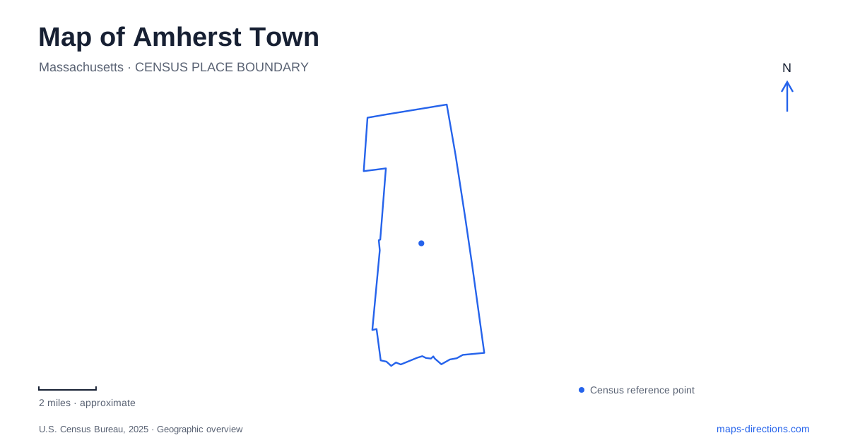
Street tiles load from OpenStreetMap when opened. The blue line shows the 2025 Census boundary.
- State
- Massachusetts
- Population · July 2025
- 40,920
- Land area
- 27.6 sq mi
- Water area
- 0.1 sq mi
Amherst Town contains several recognizable centers rather than one college district that explains everything. The downtown streets and Dickinson houses, the University of Massachusetts campus, the older northern mill landscape, and protected land beside Amherst College each have their own geography. Historic maps identify North Amherst Center, Cushman Village, East Village, and South Amherst Common alongside the central business district, showing how many separate places contribute to the community.
Main Street and the Dickinson houses
The Emily Dickinson Museum brings together the Homestead and the Evergreens at 280 Main Street. The Homestead was the poet's birthplace and home, while the neighboring Evergreens housed her brother Austin and his family. The two houses allow visitors to consider a family landscape as well as a single author's residence.
The museum formed in 2003 when the properties came together under the ownership of the Trustees of Amherst College. Its restoration work has included reinstating the historic path between the houses as an accessible connection. That physical link matters because the relationship between the buildings is part of the story being interpreted.
For someone studying a map of Amherst Town, Main Street is therefore both an ordinary local street and a literary reference point. The museum is a particular property within the center, while the college and university are larger, separate institutional landscapes. Their names frequently appear together in visitor information, but they do not describe one campus.
A university that began with agriculture
The University of Massachusetts traces its beginning to the Massachusetts Agricultural College, founded in 1863 under the land-grant system. Its first classes opened in 1867 on a rural site of 310 acres. The original emphasis on farming and science helps explain the university's different institutional origins from the neighboring private college.
Old Chapel, at 144 Hicks Way, provides a historical landmark within the university grounds. Its Richardsonian Romanesque design originally accommodated a library, auditorium, and classrooms. Later uses included housing the marching band, and a substantial restoration returned the building to use in 2017.
The campus pond was created in 1892, adding another recognizable feature to the university landscape. The chapel and pond give a map reader fixed reference points within a large campus that expanded considerably during the twentieth century. They also show how the grounds contain several periods of development rather than a single building campaign.
Factory Hollow beneath the pond's recreational identity
The northern part of Amherst Town has an industrial history centered on the Mill River and Cushman Brook. Puffer's Pond was also known as Factory Hollow Pond, a name reflecting the concentration of water-powered mills nearby. Paper production became especially important during the nineteenth century, with mills associated with the Roberts and Cushman families.
The pond later supported ice harvesting. The Puffer family built an ice elevator in 1912 and an icehouse in 1916 on the southern shore; the town's history places the former icehouse site within part of today's South Beach. The recreational shoreline thus occupies land that once served an everyday commercial function before electric refrigeration became widespread.
The town acquired the pond and dam through a donation in 1969 after earlier conservation purchases along the river. These acquisitions gradually protected a corridor rather than creating one park all at once. Reading the pond together with the stream system reveals how industry, conservation, and recreation succeeded one another in the same area.
Sanctuary paths and the former railway
Amherst College's Wildlife Sanctuary offers another outdoor setting in Amherst Town. Established in 1933, it grew from sixty acres to more than five hundred and includes fields, woods, wetlands, and ponds. The college uses it for research as well as recreation, so the landscape has an educational role beyond the visible campus buildings.
Its paths connect with regional routes, including the Norwottuck Rail Trail. The state identifies that trail as part of the Mass Central Rail Trail, following the former Central Massachusetts Railroad corridor through Northampton, Hadley, Amherst, and Belchertown. Local access points include Fort River on Mill Lane and Lawrence Station on Station Road.
Those named trailheads provide a useful transition from town-scale streets to a route crossing municipal boundaries. The railway's former alignment now supports walking and cycling, while the sanctuary's more varied paths lead through different habitats. They are connected systems with different origins and physical character.
Together, these places make Amherst Town more legible: Main Street holds the Dickinson family setting, the university preserves traces of its agricultural beginning, the northern pond records mill and ice industries, and the sanctuary meets a reused railway corridor. Each adds a distinct layer to the map without requiring every visit to revolve around the same central blocks.
Map and statistics: U.S. Census Bureau, 2025 Gazetteer, January 2025 generalized place boundaries and Vintage 2025 population estimates. Local references: Town of Amherst; Emily Dickinson Museum; University of Massachusetts; Amherst College; Massachusetts Department of Conservation and Recreation. Article prepared by Maps & Directions.