Map of Ames
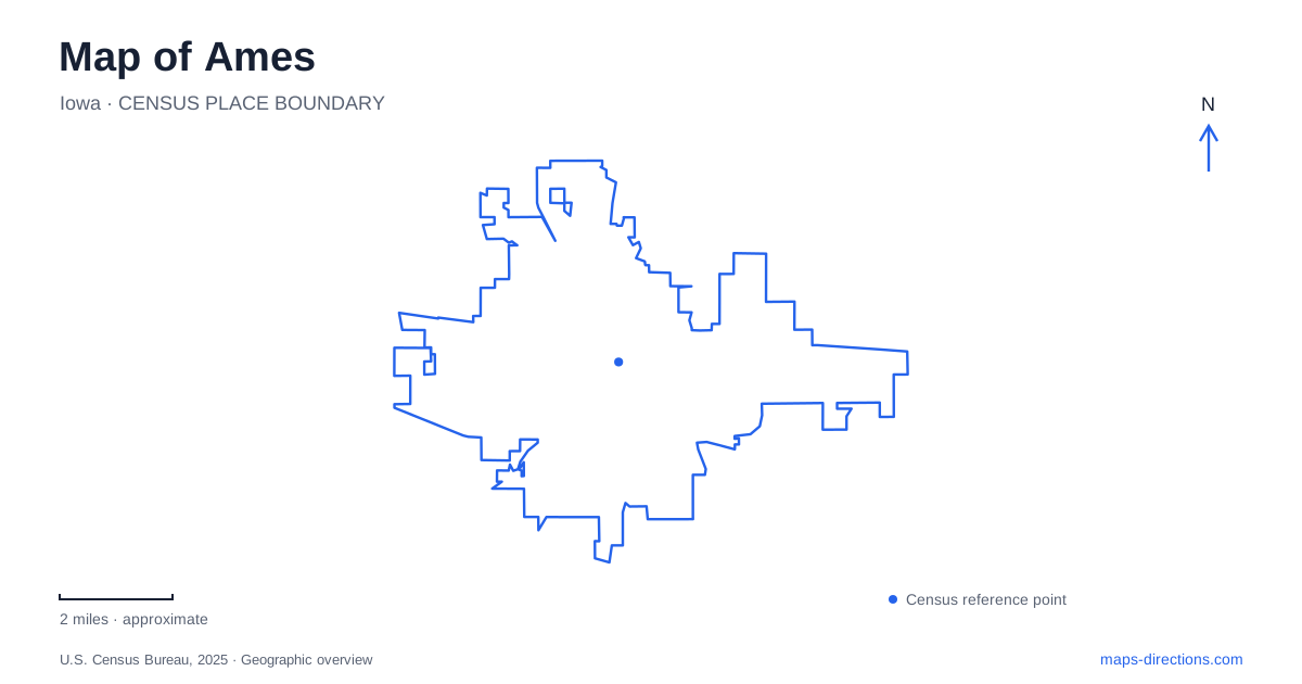
Street tiles load from OpenStreetMap when opened. The blue line shows the 2025 Census boundary.
- State
- Iowa
- Population · July 2025
- 68,220
- Land area
- 28.2 sq mi
- Water area
- 0.3 sq mi
Ames has a university landscape, a railroad downtown, and a series of water-centered parks that deserve to be read separately. Their histories overlap, but each establishes a different scale for a visitor. Main Street is understood through buildings and former transportation routes; the campus through pedestrian spaces and cultural institutions; the northern lake park through several miles of shoreline trails. Combining those scales makes the map more informative than reducing the city to a single college destination.
Main Street retains a transportation story
The historical society's downtown walking guide places the former brick railroad depot on Main Street west of Clark Avenue. Completed in 1900, it replaced an earlier wooden depot at Duff Avenue. Passenger service ended in 1960, after which the building accommodated municipal offices before conversion to commercial use. Its historical identity therefore explains the streetscape without implying that it remains a passenger boarding point.
Another transportation layer ran along Main Street itself. The museum's photographic archive distinguishes the electric interurban, which began local service in 1907, from the earlier steam Dinkey that operated on Fifth Street. That difference is useful when looking at old photographs or historical maps: two similar-looking rail stories belong to different streets and technologies. In Ames, the relationship between town and college involved both a local shuttle and wider regional connections. The modern map preserves the street names even where their transportation roles have changed.
Campus art occupies more than one building
Iowa State University's cultural landscape includes two art museums, a historic house museum, a sculpture garden, and a public art collection spread across campus. This arrangement encourages a different way of reading the grounds. A work outdoors can be encountered during a walk, while an exhibition inside a building is a specific institutional visit. The university's visitor guide also identifies the campanile and Lake LaVerne as campus reference points.
These features make Ames legible at walking scale without requiring every stop to be treated as a separate drive. The campanile provides a vertical landmark, the lake introduces an identifiable landscape feature, and distributed artworks give detail to the spaces between buildings. A campus visit can consequently focus on its outdoor composition as well as its academic destinations. Indoor museum access and public paths serve different purposes, even though they belong to the same university setting.
Reiman Gardens requires an unusually specific approach
Reiman Gardens adds a cultivated landscape to the campus: approximately 17 acres with a tropical conservatory and butterfly wing. It is associated with the university but has its own visitor entrance and parking arrangements. Its operator explicitly warns that some navigation systems place the mailing address incorrectly and recommends using the intersection of University Boulevard and South 16th Street to orient the approach.
That is a concrete local mapping issue, not merely a general precaution about navigation. The gardens identify lots S1 and S2 for ordinary visitor parking and note that the nearby Jack Trice Stadium affects access on home football dates. Their published calendar includes closures tied to those events. Someone planning a garden visit should therefore treat the stadium calendar as part of the location's practical geography. The grounds may look independent on a map, but the surrounding parking and event environment connects them to the larger athletics area.
Ioway Creek gives Brookside its shape
Brookside Park is listed at 1325 Sixth Street, with Ioway Creek running through its landscape. A city streambank project describes the corridor between Sixth and 13th streets and the park's pedestrian bridges. The work was designed to address erosion, protect trees and habitat, and improve water quality. Those aims explain why this green corridor is more than leftover space between roads.
For Ames, Brookside supplies a useful example of recreation and water management occupying the same ground. The creek has its own physical behavior, while trails, bridges, fields, and nearby properties must accommodate it. A street map can show the corridor's position, but a park map better explains how crossings connect its usable spaces. Project notices should be read for their dates rather than treated as proof that an old closure still applies.
Ada Hayden offers several different circuits
Ada Hayden Heritage Park is reached at 5205 Grand Avenue and honors the university professor and conservationist. Its trail options include a 2.8-mile hard-surface outer loop, shorter north and south loops, a 3.2-mile figure-eight, and a crushed-rock upland trail. These alternatives distinguish a shoreline circuit from an outing that explores higher ground.
The park permits boating with electric motors but prohibits swimming. That combination is worth understanding before choosing it for a waterside afternoon: access to a lake does not mean access to a swimming beach. Seen alongside the creek, gardens, campus, and railroad district, this northern park completes a varied map of Ames. The city supports several distinct ways of moving through a landscape, each tied to a particular history, institution, or body of water.
Map and statistics: U.S. Census Bureau, 2025 Gazetteer, January 2025 generalized place boundaries and Vintage 2025 population estimates. Local references: Ames Historical Society; Ames History Museum; Iowa State University; Reiman Gardens / Iowa State University; City of Ames. Article prepared by Maps & Directions.