Map of Amarillo
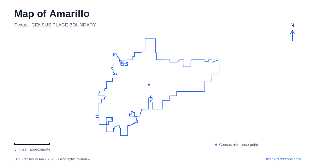
Street tiles load from OpenStreetMap when opened. The blue line shows the 2025 Census boundary.
- State
- Texas
- Population · July 2025
- 205,130
- Land area
- 106.1 sq mi
- Water area
- 2.0 sq mi
A map of Amarillo shows a city shaped by transportation across the Texas Panhandle. Railroad-era buildings identify the downtown core, an older highway district stretches west along Sixth Avenue, and Interstate 40 carries a later generation of cross-country traffic. The surrounding region adds another geography entirely: canyon country to the south and the Canadian River landscape to the north. These settings are connected through the city, but each has its own roads, history and scale.
Polk Street and the railroad city
The Santa Fe Building at 900 South Polk Street is a prominent reminder of the railroad's role in local development. Its thirteen-story form and rooftop sign stand within a downtown that acquired several substantial buildings during the 1920s. The railroad relocated its regional offices here from Panhandle City in 1899, strengthening the city's position as a commercial center.
The building's Gothic Revival detailing includes terra-cotta surfaces and strong vertical lines. Nearby downtown buildings reflect the same period of expansion, so Polk Street can be read as a record of investment and growth rather than simply a route between intersections. The city identifies preservation and reuse along this corridor as an important part of downtown renewal.
This older business core supplies one anchor for an Amarillo map. It also helps distinguish railroad history from the automobile-oriented buildings associated with Route 66 farther west.
Sixth Avenue's changing roadside landscape
The Route 66–Sixth Street Historic District extends for thirteen blocks between Georgia and Forrest avenues in the San Jacinto neighborhood. It began as a streetcar suburb before Route 66 brought a national highway through its center in 1926. The corridor's shops, former service stations and other commercial buildings reflect that transition.
The Nat at South Georgia provides a striking example. Built in 1922 as an indoor swimming pool, it became a ballroom in 1926, with the pool covered by a dance floor. Other surviving buildings include service-station designs intended to attract motorists through recognizable shapes, signs and canopies.
Visitors will encounter both Sixth Street and Sixth Avenue in descriptions of Amarillo. Local tourism guidance notes the familiar use of Sixth Street for the avenue. Recognizing that variation helps connect the historic district's name with the street shown on a modern map, while the Georgia-to-Forrest limits define a manageable stretch of the much longer road.
Cadillac Ranch beyond the historic district
Cadillac Ranch occupies a roadside site west of the city at 13651 I-40 Frontage Road. The tourism bureau directs visitors to the south access road, just east of the Arnot Road exit. Its ten partly buried cars form an outdoor artwork whose changing painted surfaces have become part of its identity.
Ant Farm created the installation in 1974. Its association with road-trip culture is strong, but the sculpture is geographically separate from the Sixth Avenue storefront district. Visiting both means moving between a walkable historic commercial corridor and a field beside the interstate frontage road.
For a route through Amarillo, that contrast is useful rather than inconvenient. The district shows buildings designed to serve passing motorists, while the artwork turns the automobile itself into the subject. They represent different ways in which highway travel has shaped local identity.
South toward Palo Duro Canyon
Palo Duro Canyon State Park uses a Canyon, Texas address: 11450 Park Road 5. It belongs to a separate regional excursion rather than the central city street network. The canyon was cut into the Southern High Plains by the Prairie Dog Town Fork of the Red River, exposing layers of claystone, gypsum, mudstone and sandstone.
Those layers explain the strong changes in color and form visible below the rim. A broad regional road map can locate the park, but its internal road and trail map is needed to understand the relationship between overlooks, trailheads and camping areas. The terrain is a substantial departure from the relatively open highway approaches.
The state park recommends advance reservations because it often reaches capacity. Trails can also close because of heat, wet conditions or other damage. These are operational details specific to a canyon visit, where the available route may differ from a line retained on an older map.
North into the quarry landscape
Alibates Flint Quarries National Monument lies near the Canadian River region, approached from Texas 136 by Cas Johnson Road and the signed park roads. Its physical visitor-center address is 37084 Alibates Road, distinct from the National Park Service's mailing address in Fritch.
The stone known as Alibates flint is agatized dolomite. Hand-dug quarries and widely distributed artifacts record its importance to Indigenous toolmaking and trade. Access to the quarries is by guided tour, while the visitor center has exhibits and a short self-guided trail. Seen together, these northern quarries, the southern canyon and the urban transportation landmarks give an Amarillo map a regional depth that highway labels alone cannot convey.
Map and statistics: U.S. Census Bureau, 2025 Gazetteer, January 2025 generalized place boundaries and Vintage 2025 population estimates. Local references: Society of Architectural Historians; City of Amarillo; National Park Service; Visit Amarillo; Texas Parks and Wildlife. Article prepared by Maps & Directions.