Map of Altoona
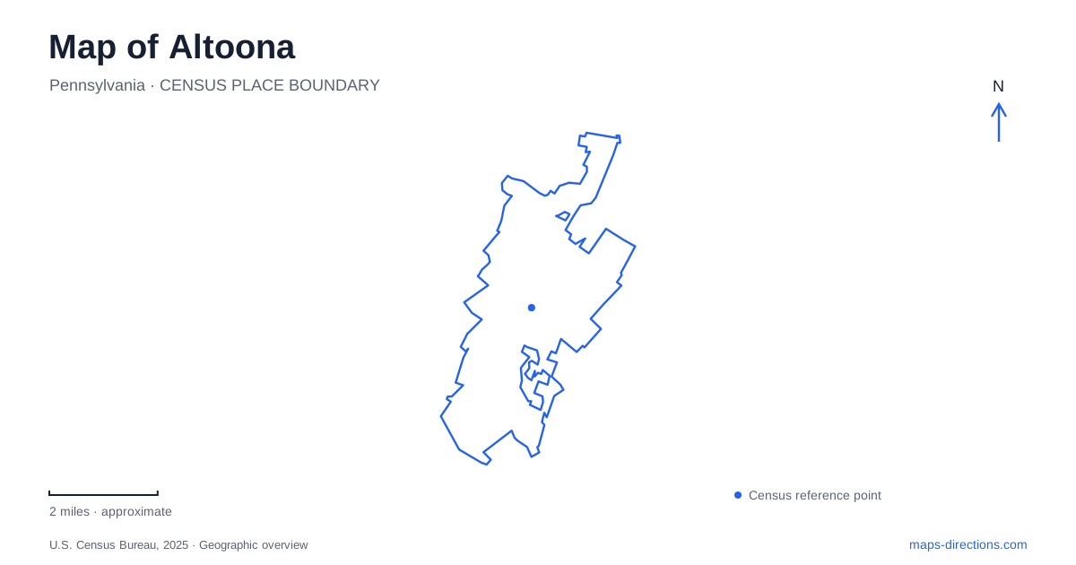
Street tiles load from OpenStreetMap when opened. The blue line shows the 2025 Census boundary.
- State
- Pennsylvania
- Population · July 2025
- 42,347
- Land area
- 9.8 sq mi
- Water area
- 0.0 sq mi
Altoona is a city whose map is inseparable from railway work, but the tracks tell only part of its story. The mountain crossing west of town, the former shop district, the planned neighborhood of Llyswen and the reused amusement grounds at Ivyside show how transportation shaped work, housing and recreation. Baker Mansion adds an earlier ironmaking landscape. Read together, these places explain why different parts of the city have such distinct forms and historical associations.
The working railway at the center
The Railroaders Memorial Museum occupies the former Pennsylvania Railroad Master Mechanic's Office Building at 1200 Ninth Avenue. Built in 1882, the structure served several railway departments as it grew, including engineering, testing and dispatching. The museum opened the restored building in 1998, bringing public interpretation into an actual component of the industrial complex.
This is especially useful in Altoona because the railway shops once formed an extensive working landscape, not a single factory building. Offices coordinated the production, testing and movement of railway equipment, while surrounding yards and shops required far more space. The museum's emphasis on railroad workers gives that landscape a human scale. Its setting helps explain how administration and skilled industrial labor belonged to one interconnected system rather than two separate parts of the city.
The city's history also identifies the present Station Mall site as the former location of three roundhouses and major locomotive construction facilities. That change of use is a reminder that an ordinary-looking developed parcel can occupy ground central to the railway economy. Historic maps and modern street maps describe different uses of the same land.
Why the railway bends around the mountain
Horseshoe Curve lies west of the city and has a visitor address of 2400 Veterans Memorial Highway. It is a separate destination from the downtown museum, although the same organization operates both. The curve opened in February 1854 as part of the Pennsylvania Railroad's route across the Allegheny Mountains.
Its shape responds to a very specific problem. The approach encountered two ravines separated by a mountain. Crossing directly would have produced an impractically steep railway grade. Engineers extended the route across fills at Kittanning Run and Glenwhite Run and around the intervening landform. The extra distance reduced the climb's steepness. On a map of Altoona and its surroundings, the sweeping arc therefore becomes a readable engineering solution rather than merely an unusual piece of track. It explains why distance can be useful when negotiating elevation.
Trolleys spread the residential city
Railway employment concentrated activity around the shops, but local trolleys helped residents live farther from work. The city's historical account traces horse-drawn service in the 1880s and electrification in the 1890s. Commercial activity followed many trolley routes, linking the transportation network with the development of neighborhood business streets.
Llyswen was laid out between 1894 and 1907 as a planned suburban community benefiting from streetcar access. Juniata had a different relationship with the growing city, becoming part of it through annexation. These names are useful historical distinctions on an Altoona map: one points to deliberate residential planning, while the other preserves the identity of a formerly separate borough. Together they show that urban expansion involved both new development and the incorporation of established communities.
Ironmaking before the rail-city image
Baker Mansion, at 3419 Oak Lane, was the home of ironmaster Elias Baker. He and Roland Diller purchased the nearby Alleghany Furnace in 1836; Baker later acquired his partner's share. Construction of the mansion began in 1845 and was completed in 1849, following plans by Baltimore architect Robert Cary Long Jr.
The house places domestic life beside the history of iron production. It also broadens an itinerary beyond railway subjects without leaving the story of industrial development. The Blair County Historical Society opened it as a museum in 1922 and purchased it in 1941. Its preservation gives visitors a surviving building through which to consider the wealth, ambition and family life associated with an earlier local industry.
Two campus landscapes
Penn State's Ivyside campus occupies former amusement-park grounds. Its reflecting pond once warmed and supplied water for the park's swimming pool, so even this seemingly tranquil campus feature retains a practical connection to recreation history. The university recommends 3000 Juniata Gap Road for navigation to Ivyside.
The university also has a downtown campus, with facilities along Twelfth and Eleventh avenues, about three miles from Ivyside. For Altoona, these locations represent two different patterns of reuse: a former recreational property adapted as a larger campus and educational activity placed within downtown buildings. Including both alongside the museum, mansion and mountain curve reveals a city continually adapting land and structures whose original functions still help explain the map.
Map and statistics: U.S. Census Bureau, 2025 Gazetteer, January 2025 generalized place boundaries and Vintage 2025 population estimates. Local references: Railroaders Memorial Museum; City of Altoona; National Park Service; Blair County Historical Society; Penn State. Article prepared by Maps & Directions.