Map of Altamonte Springs
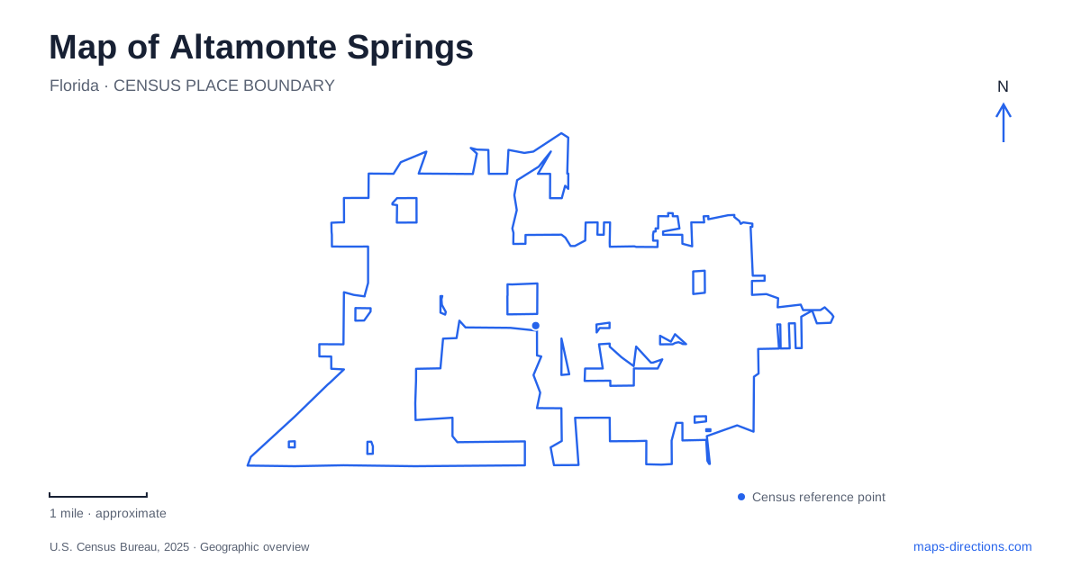
Street tiles load from OpenStreetMap when opened. The blue line shows the 2025 Census boundary.
- State
- Florida
- Population · July 2025
- 48,000
- Land area
- 9.1 sq mi
- Water area
- 0.6 sq mi
Altamonte Springs is easier to navigate as a collection of distinct destinations than as one downtown pin. Cranes Roost provides an Uptown lakefront setting, the SunRail station anchors a separate rail arrival point, and Lake Lotus offers a nature-preserve destination with its own entrance arrangements. A useful map keeps those locations separate. They share a municipal name, but that does not mean a search result for one is a suitable starting point for another.
Cranes Roost and the Uptown lakefront
Cranes Roost Park surrounds Cranes Roost Lake in Uptown Altamonte. The city describes a continuous one-mile walkway around the water and lists the park at 274 Cranes Roost Boulevard. This is a strong geographic reference for a lakeside walk or a meeting near the park. The Eddie Rose Amphitheater and its floating stage identify a more specific destination within the larger setting.
For an event visit, the park address gets you to the right area, while the event's own arrival instructions resolve the final approach. Do not substitute an events-office mailing address for the park entrance: the municipal page includes administrative contact details as well as the physical park address. When sharing a meeting point, name the amphitheater, plaza or another agreed feature rather than saying only “by the lake.” A circular walking route offers many places that could fit that description.
The railway stop has a different street address
The Altamonte Springs SunRail station is at 2741 South Ronald Reagan Boulevard. The operator places it near the intersection with Altamonte Drive, also known as State Road 436. Those two road names help reconcile a regional road map with a rail-station listing. If one source uses the state route number and another uses the street name, they can still be describing the same corridor.
The station is not the Cranes Roost park entrance. SunRail identifies connections to the wider local destination area, including LYNX services, but the onward portion remains a separate leg of the journey. Select the actual destination when examining that leg instead of assuming the town-named rail stop is beside every attraction. Check the operating timetable and any intended bus connection independently; a static city map identifies infrastructure without establishing a departure time or a guaranteed transfer.
Eastmonte means the Magnolia Drive park
Eastmonte Park provides another precise reference in Altamonte Springs. The city's facility listing gives 830 Magnolia Drive and identifies baseball facilities, racquetball courts, a tennis court and the George D. Perkins Civic Center. A sports booking and a civic-center event can therefore share the park address while requiring different final destinations inside the complex.
Retain the field, pavilion or building name supplied by the organizer. The park label is useful at city scale, but it cannot tell you which part of a multi-facility site hosts your activity. This distinction is particularly helpful when arranging a pickup after an event: meeting at the correct internal facility avoids treating every entrance or parking area as interchangeable. SunRail's station information identifies Eastmonte as a nearby destination, yet your own route still needs to follow an actual pedestrian connection.
Lake Lotus is a preserve, not an urban lake loop
Lake Lotus Park has a different purpose from the Uptown promenade. The municipal listing describes a nature preserve with woods and wetlands, with its main address at 1153 Lake Lotus Park Road. It also lists offsite parking at 8903 Magnolia Homes Road, with an Orlando mailing address. That second address should not be mistaken for a completely unrelated destination simply because its postal city differs.
For an Altamonte Springs nature outing, choose the intended arrival location explicitly. The main park and offsite parking are distinct pins. Boardwalks and natural-surface trails have different maintenance needs in this wetland setting, so check the city's trail guidance before selecting a continuous walking circuit. A mapped wetland path also does not establish permission to bring bicycles or launch watercraft. Matching the entrance and allowed activity is more useful than relying on the park's broad outline.
Avoid the Magnolia-name mix-up
Two of these destinations illustrate a practical naming trap: Eastmonte uses Magnolia Drive, while Lake Lotus's offsite lot uses Magnolia Homes Road. Keep the complete street name and number in saved directions. Shortening both to “Magnolia parking” removes the information needed to distinguish them. A map of Altamonte Springs is most useful when each stop retains its own identity: Cranes Roost Boulevard for the Uptown park, South Ronald Reagan Boulevard for rail, Magnolia Drive for Eastmonte and the appropriate Lake Lotus entrance for the preserve. Establish those anchors before comparing onward routes.
Map and statistics: U.S. Census Bureau, 2025 Gazetteer, January 2025 generalized place boundaries and Vintage 2025 population estimates. Local references: City of Altamonte Springs; SunRail. Article prepared by Maps & Directions.