Map of Alpharetta
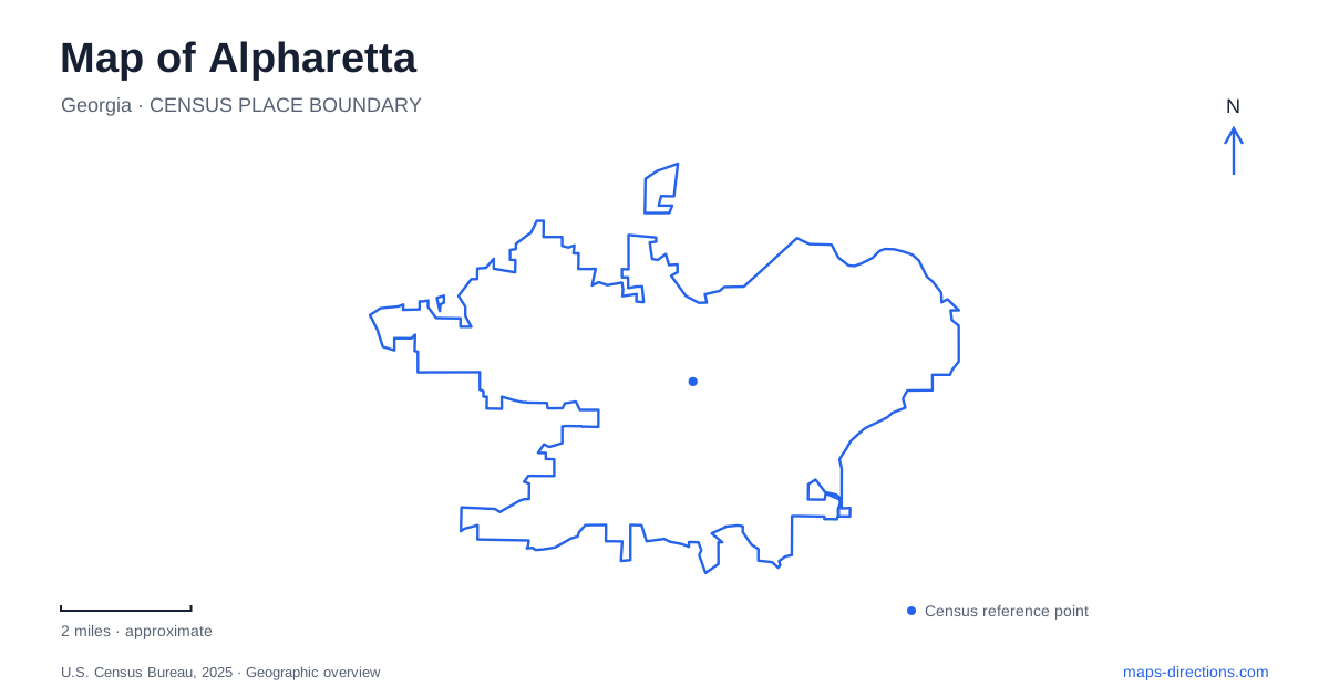
Street tiles load from OpenStreetMap when opened. The blue line shows the 2025 Census boundary.
- State
- Georgia
- Population · July 2025
- 66,921
- Land area
- 26.9 sq mi
- Water area
- 0.4 sq mi
Alpharetta combines a compact downtown with several separate shopping, employment and recreation districts. A useful map brings out those centers and the trails connecting parts of them. Main Street, Old Milton Parkway, Westside Parkway and the Big Creek corridor each organize a different kind of movement. The interesting question is how a historic civic center, an urban trail and a wooded watershed fit within the same suburban landscape.
A civic landscape behind Main Street
Brooke Street Park occupies five acres behind City Hall along Haynes Bridge Road. Its setting joins the municipal building and Fulton County Library with a lawn, bandstand, landscaped stream and walking path. The reflection garden sits between the civic buildings, while outdoor sculptures add another reason to follow the paths beyond the street-facing businesses.
That arrangement makes the downtown map more layered than a single row of storefronts. The park's arboretum and flowering trees introduce a quieter setting beside public buildings. A garage near the library and the surrounding downtown parking serve this cluster, whose official park address is 2 Park Plaza. For a short walk, the relationship between City Hall, the library and the park is more informative than a broad downtown label.
The downtown history walk adds a different layer. The tourism bureau describes more than twenty-five historical markers and landmarks within a walkable area, alongside an arts tour of outdoor sculpture. In Alpharetta, those routes let a visitor use the same streets to examine local history or public art without treating either tour as a trip around the whole municipality.
Avalon and the Alpha Loop
The Alpha Loop links activity centers through a developing urban trail network. One established section connects downtown and Avalon; another approximately one-mile section between Old Milton Parkway and Northwinds Parkway opened in June 2024. The latter includes a tunnel beneath Westside Parkway and an overlook bridge, substantial pieces of infrastructure that explain how a path can cross this road-oriented landscape.
These built sections give walking and cycling their own geography. A tunnel and bridge shape the route differently from nearby vehicle intersections, while permanent sculpture turns portions of the journey into public space. The wider network identifies Avalon, downtown, North Point and Northwinds as key centers, but an individual outing should follow the mapped open section rather than assume the network's name guarantees every possible connection.
Avalon represents another concentration of shops, dining and entertainment. Its relationship with downtown is therefore complementary: two distinct destinations connected by an urban trail, rather than one shopping street continuing uninterrupted through both districts. That distinction helps explain the repeated appearance of Westside Parkway and Old Milton Parkway on local visitor maps.
Horses, sports and walking at Wills Park
Wills Park provides a particularly different view of Alpharetta. The equestrian center at 11915 Wills Road has five competition arenas, including a covered arena, together with stables and show facilities. Its presence places an equestrian event landscape within a much broader municipal recreation park.
The park also contains sports fields and courts, a community garden, playgrounds, walking trails and Mansell House and Gardens. Those facilities support different patterns of use: a horse-show spectator, a recreation-program participant and someone following a park loop may all arrive along the same roads with very different destinations. The tourism walking brochure identifies Wills Road and Old Milton Parkway beside the park and shows trail loops among these facilities. Reading the internal paths alongside the equestrian grounds gives a clearer picture than the park's large green outline alone.
Following the Big Creek watershed
Big Creek Greenway is another landscape altogether, extending through a creek corridor rather than following the downtown shopping blocks. Its access points include Rock Mill Park on Kimball Bridge Road, Northpoint Park on North Point Parkway, and Marconi Park on Marconi Drive. The tourism bureau lists parking at these locations, while Beaver Creek Road's access is described as trail access only.
The published greenway map distinguishes concrete path, boardwalk and nature-trail sections, and identifies underpasses at several major roads. Those details reveal how Alpharetta accommodates a long outdoor corridor within developed surroundings. A trailhead map is especially useful here because the park names refer to points along a larger system, not to disconnected walks of equal length.
Together, the creek corridor, Wills Park and the downtown-to-Avalon trail provide three different readings of Alpharetta: watershed recreation, concentrated civic recreation and connections between urban districts. Keeping those purposes visible makes the map useful for choosing an outing as well as finding the road that leads to it.
Map and statistics: U.S. Census Bureau, 2025 Gazetteer, January 2025 generalized place boundaries and Vintage 2025 population estimates. Local references: Alpharetta Convention and Visitors Bureau. Article prepared by Maps & Directions.