Map of Allentown
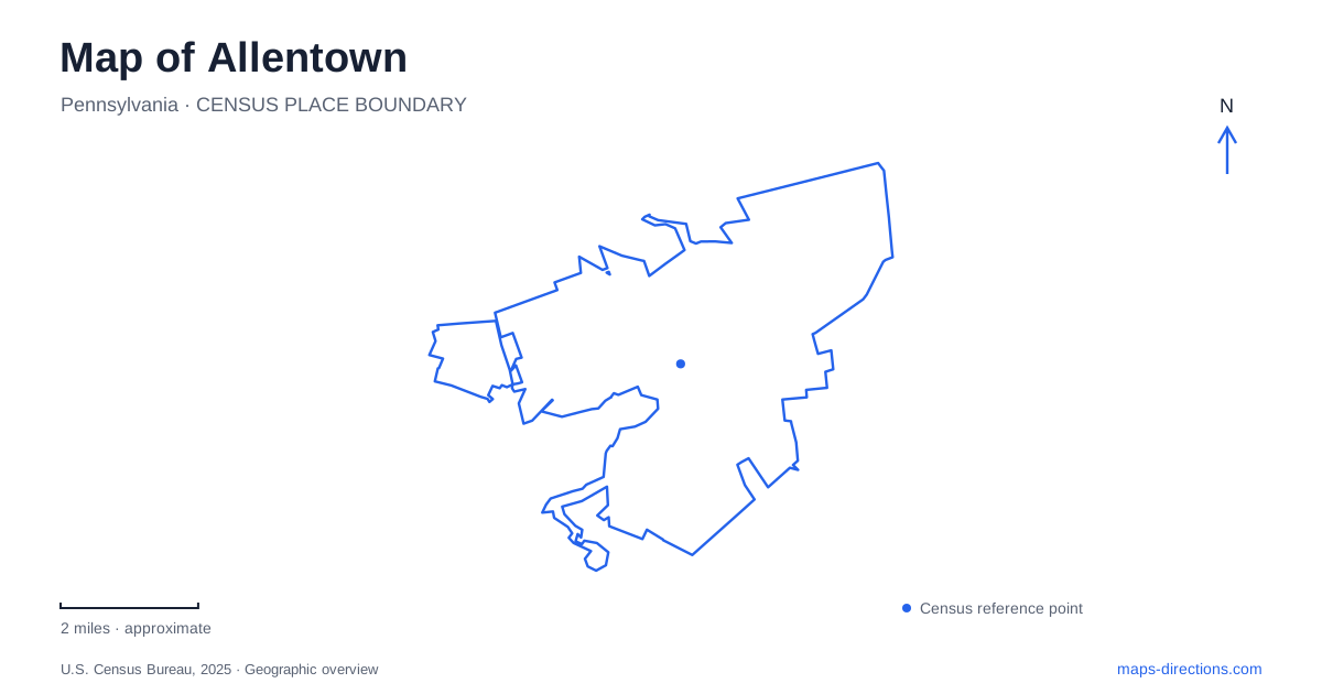
Street tiles load from OpenStreetMap when opened. The blue line shows the 2025 Census boundary.
- State
- Pennsylvania
- Population · July 2025
- 126,044
- Land area
- 17.6 sq mi
- Water area
- 0.4 sq mi
Allentown can be read through two overlapping patterns: commercial streets arranged around the center city and green corridors shaped by creeks. Hamilton Street provides a recognizable downtown reference, while the Little Lehigh and Cedar Creek landscapes organize substantial areas of parkland. Cultural destinations are distributed between these settings and the surrounding neighborhoods. A useful map connects those places without flattening them into one downtown cluster or assuming that every parkway name describes a road for through-traffic.
Hamilton Street and the cultural blocks
The downtown business alliance promotes an area extending from Fifth to Twelfth streets and from Walnut to Linden streets. Those limits describe its area of activity, rather than an official boundary for every possible meaning of downtown. They nevertheless provide a practical rectangle for understanding the concentration of shops, restaurants, cultural buildings, and residents around Hamilton Street.
The Da Vinci Science Center's address is 815 West Hamilton Street. That specific location is useful because it places a major visitor destination directly in the numbered-street downtown geography. The PPL Center is another central event destination, while the ArtsWalk connects the center-city area with the Arts Park at the art museum. These are different kinds of urban space: an indoor science destination, an arena, and a pedestrian cultural connection.
A map of Allentown becomes more helpful when those distinctions remain visible. Someone attending an arena event may be interested in the surrounding dining streets, while an art-focused outing may follow the ArtsWalk toward the museum setting. Neither itinerary needs to treat every downtown venue as a separate car journey. The numbered streets and the named pedestrian connection provide a framework for understanding which destinations belong to the same central outing.
Seventh Street, the fairgrounds, and the east side
Seventh Street adds a food and retail corridor to the downtown picture. The regional tourism office highlights its international restaurants and shops. Its identity is therefore tied to an extended street, rather than to a single market building. That makes it useful to retain the actual street address when comparing businesses along the corridor.
The farmers market, by contrast, is located within the historic fairgrounds. This is a different destination type: the market belongs to a larger event property. A general search for a market can obscure that relationship, while a map that includes the fairgrounds makes it apparent. The fairgrounds also explain why the same location may appear in searches for both regular food shopping and major seasonal events.
On the east side, Coca-Cola Park is the home of the Lehigh Valley IronPigs. The PPL Center and this baseball park should remain separate anchors when reading an Allentown events map. Their teams and venues are different, and their locations occupy different parts of the city. Locating the venue first produces a clearer understanding of the surrounding neighborhood than beginning with the broad regional phrase “Lehigh Valley sports.”
Cedar Creek Parkway as a collection of places
Cedar Creek Parkway contains several recognizable destinations, including Cedar Beach, the Malcolm Gross Rose Garden, open lawns, a lake, and recreational facilities. The local parks-support organization describes these as parts of the same expansive park landscape. This makes the parkway a useful umbrella name, but individual facilities still explain the purpose of a visit.
A rose-garden outing emphasizes planted space and walking, whereas a visit to Cedar Beach may focus on recreation facilities. The map should retain those smaller names within the larger green area. They show how one park corridor can support different activities without requiring every visitor to begin at the same feature.
For Allentown, this parkway landscape also creates a contrast with the center-city grid. The commercial streets concentrate buildings and entrances along blocks; the parkway groups destinations within open space. Reading the facility names alongside the creek corridor reveals that difference more clearly than a simple collection of attraction markers.
The Little Lehigh and its historic structures
Lehigh Parkway follows the Little Lehigh Creek. The creek is the essential geographic reference here, and it should not be confused with the larger regional name “Lehigh Valley.” The park contains paths and historic structures associated with this particular watercourse. Bogert's Covered Bridge crosses the creek, and the nearby Tack Barn belongs to the city's collection of historic buildings.
The parks partnership identifies the barn's proximity to both the bridge and the creek as important to its setting. That relationship gives a map reader a small historic cluster within the larger parkway. It also connects the landscape with the area's equestrian history, rather than presenting the barn as an isolated old building. The city has been carrying out bridge rehabilitation, so the bridge's presence on a map should not itself be taken as confirmation of an available crossing.
The creek parkways and downtown cultural streets give Allentown two complementary ways to explore. One follows water and open land; the other follows a compact street network and its institutions. Keeping Cedar Creek, the Little Lehigh, Hamilton Street, and the distinct event venues identifiable makes the city's varied geography easier to understand.
Map and statistics: U.S. Census Bureau, 2025 Gazetteer, January 2025 generalized place boundaries and Vintage 2025 population estimates. Local references: Discover Lehigh Valley; Da Vinci Science Center; Friends of the Allentown Parks; Allentown Parknership; City of Allentown. Article prepared by Maps & Directions.