Map of Aliso Viejo
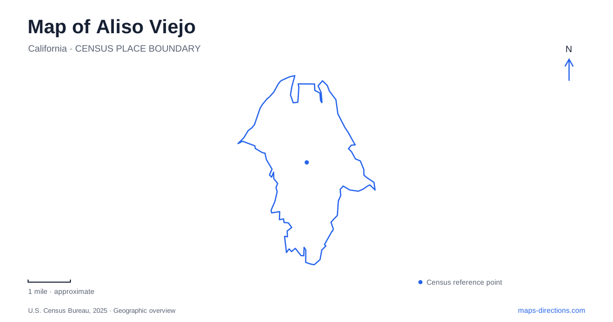
Street tiles load from OpenStreetMap when opened. The blue line shows the 2025 Census boundary.
- State
- California
- Population · July 2025
- 49,844
- Land area
- 6.9 sq mi
- Water area
- 0.0 sq mi
Aliso Viejo occupies a landscape of hills and valleys where planned neighborhoods meet a much older ranching and canyon history. A useful map brings those layers together: the ranch property on Park Avenue, the university reached from Wood Canyon Drive, and the protected canyon land beyond the developed streets. These destinations do not form a conventional old downtown. Instead, they reveal how housing, civic facilities, education, and conservation were placed within a larger planned community.
An incorporated city on former ranch land
The municipality incorporated on July 1, 2001, but its development began earlier. The city's account traces the community to land within the former Moulton Ranch. Mission Viejo Company purchased 6,600 acres in 1976, the county approved the master plan in 1979, and the first residents arrived in 1982. Those dates distinguish the start of residential development from the later creation of a city government.
That sequence helps explain the street pattern of Aliso Viejo. The community was planned to combine homes, workplaces, shopping, schools, and recreation rather than grow outward from a single nineteenth-century commercial square. The historical ranch site is consequently especially useful: it preserves evidence of an earlier use of the land within a much newer urban framework. Seeing both on the same map gives the development timeline a physical form.
The ranch on Park Avenue
The ranch at 100 Park Avenue preserves historic structures and artifacts associated with the area's agricultural past. The city's project description identifies the rehabilitation of a barn and bunkhouse, alongside farming-related educational space. Its current venue information describes orchards and a mixture of indoor and outdoor settings used for events. The property thus combines preservation with an active contemporary purpose.
This is a different experience from looking for a complete surviving ranch landscape. A small retained site now sits within the developed city, allowing selected buildings and agricultural features to tell a broader story. The structures can be read as evidence of work, accommodation, and cultivation, while their present event use shows how historic places can remain part of community life. Park Avenue is the useful street reference for this particular destination.
Reaching the university through the planned roads
Soka University of America is at 1 University Drive. Its official directions describe an approach from Interstate 5 via Oso Parkway, which becomes Pacific Park Drive, then Wood Canyon Drive and University Drive. That change from Oso to Pacific Park is a useful detail when following a route across the surrounding communities: the corridor continues even though the road name changes.
The university adds a substantial cultural destination to Aliso Viejo. Its performing arts center contains a concert hall, while adjacent Maathai Hall includes a black box theater and dance studio. The university identifies vegetated roofs as part of the buildings' environmental design. Campus destinations also use different parking areas: Lot A serves the performing arts center and Founders Hall events, while Lot C serves the library. These details show a campus arranged around several destinations rather than one interchangeable visitor stop.
Wood Canyon has a regional scale
Aliso and Wood Canyons Wilderness Park extends across approximately 4,500 acres of protected open space. OC Parks identifies the land's earlier association with the Acjachemen people before later ranch ownership. The canyon landscape therefore has a history preceding both the modern community and the ranch properties that followed Indigenous occupation.
The park's principal visitor address is 28373 Alicia Parkway in neighboring Laguna Niguel, with the Awma Road parking lot entered from Alicia Parkway. That is distinct from access near Canyon View Park in Aliso Viejo. OC Parks has used the latter location, at 22144 Canyon Vistas, as the starting point for walks into upper Wood Canyon and its coast live oak woodland. These approaches enter different parts of the same large protected landscape.
Reading the canyon map alongside city destinations
The official wilderness map distinguishes multi-use trails, hiking trails, public access gates, and emergency gates. Names such as Wood Creek Trail, Wood Canyon Trail, Coyote Run, and Rock-It identify separate routes rather than interchangeable labels for one walk. The map's distinction between authorized trails and other tracks matters in a landscape managed for both recreation and habitat.
A visit to Aliso Viejo can therefore be organized around a clear sequence of interests: ranch buildings and orchards, university architecture or a performance, and a separately planned canyon walk. Neighborhood streets provide the connections, while the canyon map supplies the detail needed once the outing leaves developed ground. This combination reveals a place shaped by successive uses of land, with historical remnants and regional open space still legible within the modern community.
Map and statistics: U.S. Census Bureau, 2025 Gazetteer, January 2025 generalized place boundaries and Vintage 2025 population estimates. Local references: City of Aliso Viejo; Soka University of America; OC Parks. Article prepared by Maps & Directions.