Map of Alhambra
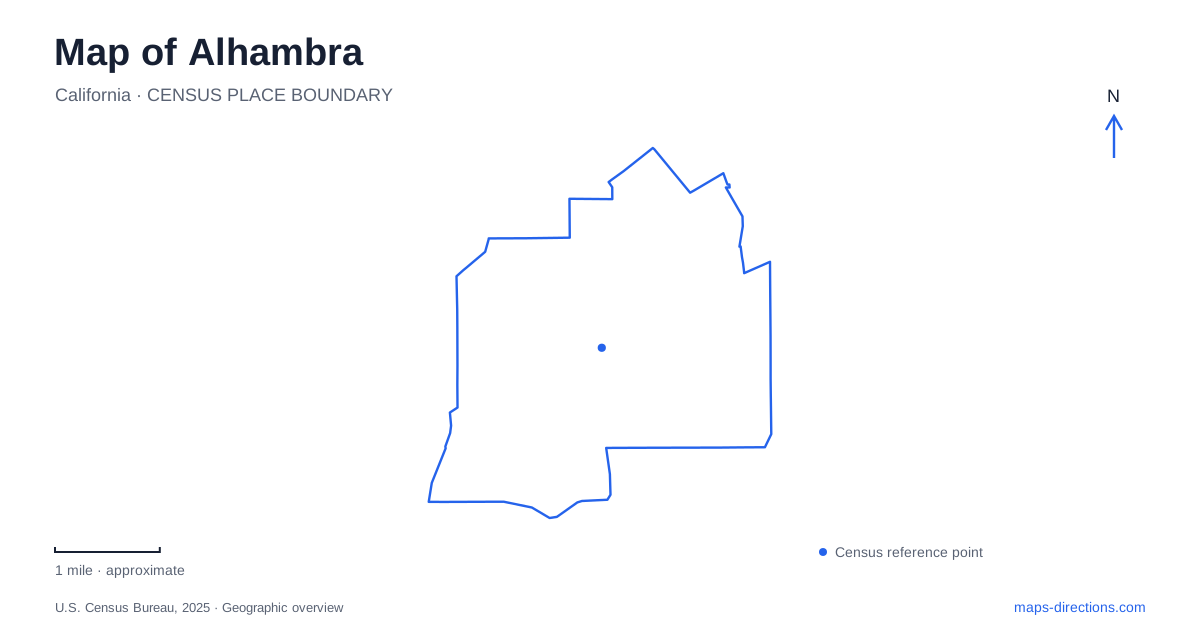
Street tiles load from OpenStreetMap when opened. The blue line shows the 2025 Census boundary.
- State
- California
- Population · July 2025
- 79,820
- Land area
- 7.6 sq mi
- Water area
- 0.0 sq mi
Alhambra is easier to understand through its principal streets than through a single central landmark. Main Street carries the downtown district, Valley Boulevard provides another major commercial corridor, and north-south avenues tie them together. Within that framework, public buildings and parks create smaller centers of activity. First Street is useful for civic errands, Almansor Street for recreation, and Hellman Avenue for the Granada Park area. These names provide a practical starting point for exploring the map at neighborhood scale.
Main Street and the civic blocks
The library stands at 101 South First Street, beside the City Hall address of 111 South First Street. This close grouping puts two important civic destinations just south of Main Street. The library's underground parking structure lies directly to its north, with approaches from First and Second streets. That arrangement makes the block useful for an outing that combines a library visit with time along the downtown street frontage.
Main Street also carries a piece of the city's earliest naming history. It was originally called Boabdil, after the last Moorish king associated with the Spanish palace that inspired the community's name. Atlantic Boulevard likewise had an earlier name, Wilson Avenue. The modern map therefore retains some of the original Spanish-inspired names while replacing others with more familiar street labels.
The history of Alhambra is visible in another way along this corridor: Main Street once carried Pacific Electric streetcars. The city's historical account describes street widening for those tracks and the loss of the pepper trees that had arched over the roadway. Reading the present commercial street with that history in mind reveals successive transportation landscapes occupying the same route.
Valley Boulevard and the connecting avenues
Valley Boulevard developed into an important business artery during the 1950s. Its role complements Main Street rather than simply extending the downtown blocks. A cross-city journey can therefore involve choosing between two corridors serving different collections of destinations, with Atlantic, Garfield, Fremont, and other connecting streets determining the approach.
The municipal ACT Green Line offers a useful illustration of this structure. Its published route follows Main Street between the Palm and Granada areas and Valley Boulevard between Fremont and Vega, with connections on both sides of the city. Clockwise and counterclockwise services trace these streets in opposite sequences. The route diagram is especially informative because it shows how a journey along one commercial spine can return along the other.
The city's land-use plan also identifies more specialized stretches. Garfield Avenue south of Mission Road contains a concentration of medical and professional offices. Farther west, Palm Avenue between Commonwealth Avenue and Mission Road forms the Mission Palm corridor, associated with smaller industrial, distribution, and service businesses. These distinctions help explain why adjoining arterial streets can have quite different surroundings.
Almansor's recreation landscape
Almansor Park is at 800 South Almansor Street. Its official site map combines upper and lower lakes, a jogging trail, ballfields, tennis courts, a gymnasium, and other recreation spaces. The nearby municipal golf course is another large element of this landscape. Together, the water, sports grounds, and golf property create a substantial interruption in the surrounding street grid.
The park diagram identifies Almansor Street, Los Higos Avenue, and Adams Street, along with multiple parking areas and neighboring schools. Those relationships matter for understanding the grounds as a whole: a lakeside gathering, a gym activity, and a game on a numbered field draw people toward different parts of the property. The map's activity labels explain that arrangement more clearly than a view showing only the green park boundary.
This section of Alhambra also has a less obvious historical layer. The former airport occupied land south of Valley Boulevard between New Avenue and Almansor Street. Housing later replaced the airfield. The old airport's location helps account for a chapter of development that is no longer immediately recognizable from today's residential map.
Parks and historical collections beyond downtown
Granada Park, at 2000 West Hellman Avenue, supplies another major recreation center, with fields, courts, a gymnasium, and swimming facilities. Story Park and the Joslyn Adult Center share the 210 North Chapel Avenue location, placing recreation and senior activities together. Emery Park occupies a smaller neighborhood setting on Mimosa Street, with open grass, picnic space, and a playground.
For local historical research, the eleven-room museum at Burke Heritage Park stands at 1550 West Alhambra Road, at Bushnell Avenue. Its collections include old city and telephone directories, school yearbooks, and newspaper material. These records offer a way to connect former residents and businesses with particular addresses, extending a present-day map into earlier periods of the city's development. Between this archive, the civic blocks, the commercial corridors, and the distributed park system, Alhambra presents several distinct places to investigate rather than a single sightseeing strip.
Map and statistics: U.S. Census Bureau, 2025 Gazetteer, January 2025 generalized place boundaries and Vintage 2025 population estimates. Local references: Alhambra Library; City of Alhambra. Article prepared by Maps & Directions.