Map of Albuquerque
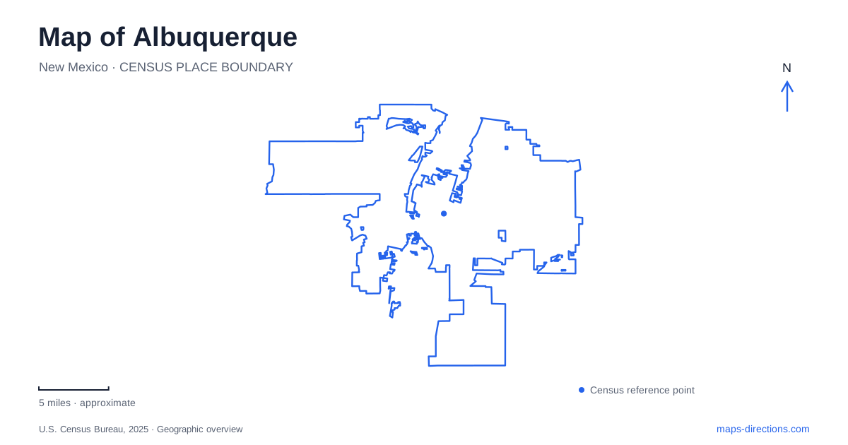
Street tiles load from OpenStreetMap when opened. The blue line shows the 2025 Census boundary.
- State
- New Mexico
- Population · July 2025
- 556,588
- Land area
- 187.3 sq mi
- Water area
- 1.7 sq mi
Albuquerque can be read through two long corridors: Central Avenue across the city and the Rio Grande's wooded valley running north–south. One carries the history of Route 66 and successive commercial districts; the other supports a cottonwood landscape and a major recreational trail. West of the river, the volcanic terrain of Petroglyph National Monument adds a third geographic setting. These corridors meet, but each organizes movement in a different way.
Central Avenue connects several chapters of the city
The Route 66 alignment along Central Avenue links neighborhoods that developed at different times. Old Town traces its history to the city's founding in 1706, while downtown reflects a later commercial center. Farther east, the university area and Nob Hill show expansion away from the older settlement near the river.
Central passes beneath I-25 before entering the downtown corridor from the east. At First Street, the Alvarado Transportation Center marks another important meeting of routes, with rail and city bus connections. The corridor therefore brings together road travel, transit, and the history of the railroad-era center. On an Albuquerque map, those references explain why Central is useful for orientation even when the final destination lies on a side street.
The historic highway also changed alignment. Before 1937, Route 66 followed Fourth Street through Barelas; after the change, it followed Central. The intersection of Fourth and Central is consequently associated with two different eras of the same road. A historic route map and a present-day street map may emphasize different lines without contradicting one another.
Old Town and downtown are separate reference areas
Old Town's plaza and surrounding cultural destinations belong to the original settlement area. The nearby museum cluster lies just east of the historic core, including the city museum, the natural history and science museum, and Explora. Their proximity makes the area more than a single plaza visit.
Downtown has a different street context along Central, including the KiMo Theatre and the transportation center. Keeping Old Town and downtown separate helps avoid a common geographic simplification. Both are central to the city's history, but their names identify different places. An Albuquerque itinerary can combine them while still recognizing the movement between an early settlement core and the later commercial district.
Westward along Central, the corridor passes the BioPark's aquarium and botanic garden area before crossing the Rio Grande. Beyond the river, Nine Mile Hill supplies another change in terrain. This sequence makes Central a useful cross-section through urban districts, river landscape, and the western side of the city.
Nob Hill shows the influence of automobile travel
Nob Hill's development followed the eastward growth of the city. The university, established in 1889, was an early major complex east of the older core. Subdivisions laid out in the early twentieth century helped establish the neighborhood that became Nob Hill.
Its commercial architecture reflects the era when automobile travel reshaped Central Avenue. The Nob Hill Business Center was completed in 1947, ten years after the highway realignment. Former service stations and motor-related buildings remain part of the district's built fabric, including the 1939 Jones Motor Company building. These structures make the highway's history visible at the scale of individual blocks.
For an Albuquerque neighborhood map, that history explains the relationship between the long arterial and the surrounding residential streets. The district's identity is tied to a corridor, but it extends beyond the roadway into the areas that grew around it.
Barelas and the bosque follow different routes southward
Barelas lies immediately south of downtown. Fourth Street and the National Hispanic Cultural Center provide useful references within the neighborhood. The earlier Route 66 alignment gives that street a historical connection to travel through the city before Central became the principal highway route.
The Paseo del Bosque Trail follows a different north–south line through the Rio Grande's cottonwood woodland. The city describes sixteen miles of paved multi-use trail, with multiple access points and connections near the Nature Center, BioPark, and cultural center. The trail belongs to the river landscape rather than to the commercial street grid.
At Candelaria Road, the Rio Grande Nature Center provides a specific reference on the eastern side of the river corridor. Its location at the end of the road, west of Rio Grande Boulevard, helps distinguish a nature-center visit from simply joining the longer paved trail.
Petroglyph viewing requires a canyon destination
Petroglyph National Monument is spread across separate visitor areas. Boca Negra, Rinconada, and Piedras Marcadas canyons provide petroglyph-viewing trails. The Visitor Information Center at Western Trail and Unser Boulevard is a different location, and the Volcanoes Day Use Area does not offer petroglyph viewing.
This distinction is especially important in Albuquerque because a general monument search can point to the information center, a volcanic landscape, or a similarly named neighborhood. Choosing the canyon identifies the intended experience before the approach is planned. The city's map then becomes a set of understandable relationships: Central's historic districts, the river's wooded trail, and the western escarpment's separate canyon sites.
Map and statistics: U.S. Census Bureau, 2025 Gazetteer, January 2025 generalized place boundaries and Vintage 2025 population estimates. Local references: Visit Albuquerque; City of Albuquerque; National Park Service. Article prepared by Maps & Directions.